Summary
The ideal streamflow range for this section of the river is between 800 and 2,000 cfs, but it can be run at higher or lower flows depending on the skill level of the paddler.
This section of the river is rated as a Class III-IV, which means that it has moderate to difficult rapids and requires technical paddling skills. The segment mileage for this run is approximately 14 miles and takes about 6 to 8 hours to complete.
Some of the specific river rapids and obstacles on this run include the "Rock Garden," "Gash," and "Horseshoe Bend." These rapids are challenging and require precise maneuvering to navigate safely.
There are specific regulations to the area that visitors must follow. Permits are required for all river trips, and they must be obtained in advance. Additionally, all equipment and gear must be approved by the National Park Service. Visitors must also follow Leave No Trace principles and pack out all trash and waste.
In conclusion, the Whitewater River Run from Deer Spring to Confluence with the Colorado River in Arizona offers a thrilling and challenging experience for experienced paddlers. The ideal streamflow range is between 800 and 2,000 cfs, and the run is rated as a Class III-IV. Visitors must follow specific regulations and obtain permits in advance to ensure a safe and responsible trip.
°F
°F
mph
Wind
%
Humidity
15-Day Weather Outlook
River Run Details
| Last Updated | 2026-02-07 |
| River Levels | 8 cfs (3.84 ft) |
| Percent of Normal | 47% |
| Status | |
| Class Level | iii-iv |
| Elevation | ft |
| Run Length | 1.0 Mi |
| Streamflow Discharge | cfs |
| Gauge Height | ft |
| Reporting Streamgage | USGS 09403850 |
5-Day Hourly Forecast Detail
Nearby Streamflow Levels
Area Campgrounds
| Location | Reservations | Toilets |
|---|---|---|
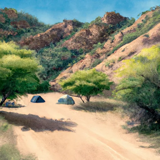 Deer Creek Campsite
|
||
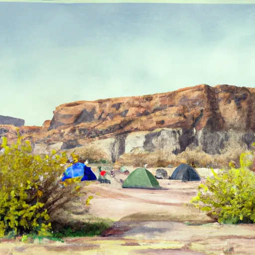 Lower Tapeats Campsite
|
||
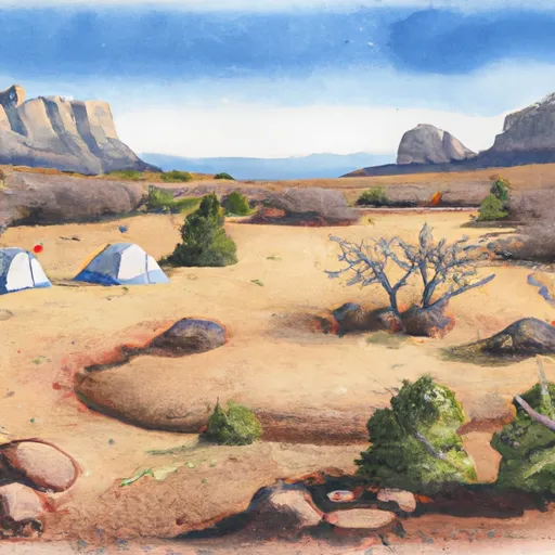 Upper Tapeats Campsite
|
||
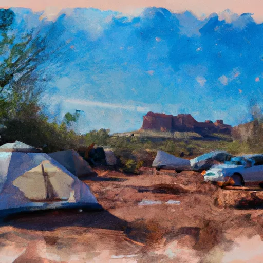 Indian Hollow Campground
|
||
 Crazy Jug Vista Campground
|
River Runs
-
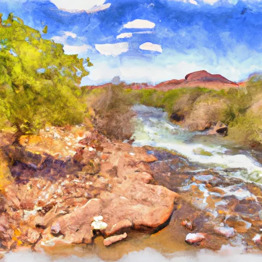 Deer Spring To Confluence With The Colorado River
-
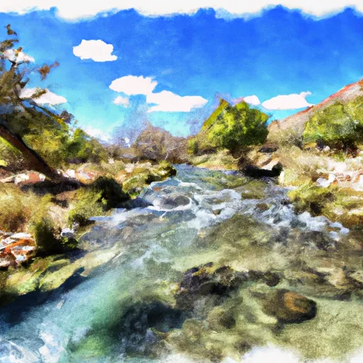 Thunder Spring To Confluence With Tapeats Creek
-
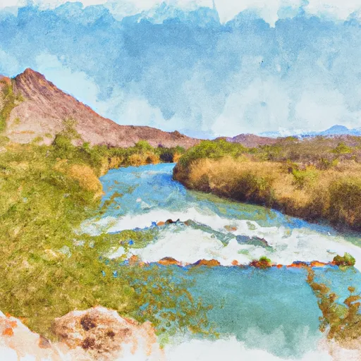 Tapeats Spring To Confluence With The Colorado River
-
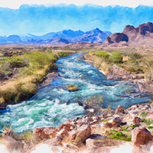 Headwaters To Confluence With The Colorado River
-
 Confluence With Kanab Creek To Spencer Canyon
-
 Begins 1.5 Miles Upstream From Confluence With The Colorado River To Confluence With The Colorado River


