Summary
The ideal streamflow range for this run is between 1,000 and 5,000 cubic feet per second (cfs). The river is rated as a class III to IV, with some sections of class V rapids. The segment mileage for the run is approximately 14 miles, starting at the South Canyon Spring headwaters and ending at the confluence with the Colorado River.
The Whitewater River Run features several challenging rapids and obstacles, such as the S-turn, the Wall, and the Meatgrinder. These rapids require experienced paddlers and careful navigation. It is recommended that paddlers wear appropriate safety gear, such as helmets and personal flotation devices.
There are specific regulations in place for the Whitewater River Run. Paddlers must obtain a permit from the Bureau of Land Management before embarking down the river. Additionally, there are restrictions on group size, camping locations, and fire use in the area.
Overall, the Whitewater River Run is a thrilling and challenging experience for experienced whitewater paddlers. It is important to follow all regulations and safety precautions to ensure a safe and enjoyable trip.
°F
°F
mph
Wind
%
Humidity
15-Day Weather Outlook
River Run Details
| Last Updated | 2026-02-06 |
| River Levels | 220 cfs (5.19 ft) |
| Percent of Normal | 64% |
| Status | |
| Class Level | iii-v |
| Elevation | ft |
| Run Length | 19.0 Mi |
| Streamflow Discharge | cfs |
| Gauge Height | ft |
| Reporting Streamgage | USGS 09402300 |
5-Day Hourly Forecast Detail
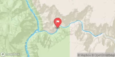
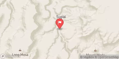
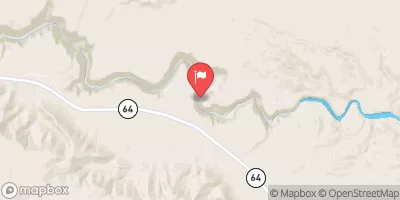
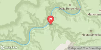
Nearby Streamflow Levels
Area Campgrounds
River Runs
-
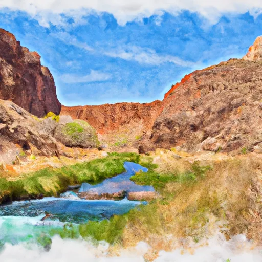 Headwaters At South Canyon Spring To Confluence With The Colorado River
-
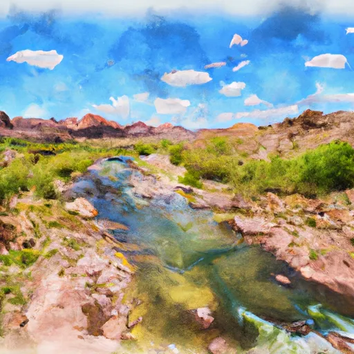 Headwaters To Confluence With The Colorado River
-
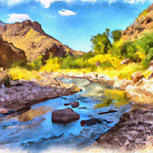 Headwaters To Confluence With Bright Angel Creek
-
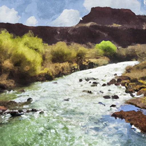 Greenland Spring (Elev. 8000') To Confluence With The Colorado River
-
 Begins Just Over 1 Mile Beyond Where The Nankoweap Trails Leaves The Creek And Heads Off To The North. To Confluence With The Colorado River



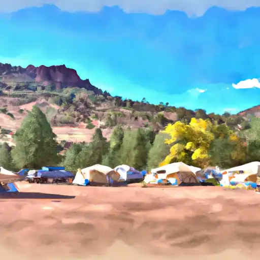 De Motte
 Demotte Campground
 De Motte Campground (USFS)
 Kaibab National Forest Free Campsite
 saddle camp ground
 North Rim - Grand Canyon National Park