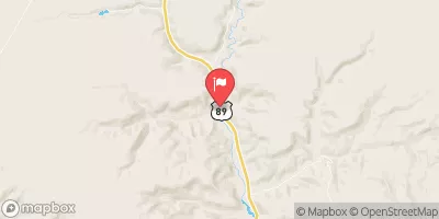
Summary
The ideal streamflow range for this river is between 800-1,200 cfs. This river is rated as a class III-IV, meaning advanced intermediate to expert level rafters are recommended. The overall segment mileage of the Whitewater River Run is 19 miles.
Specific rapids and obstacles on the Whitewater River Run include Tuna Falls, which is a class IV rapid with a steep drop and tight entrance, as well as House Rock Rapid, which is a class III-IV with large waves and a tricky entrance. There are also several smaller rapids scattered throughout the river that add to the excitement of the run.
In terms of regulations, a permit is required to run the Whitewater River. The permit system is managed by the Grand Canyon National Park, and only a limited number of permits are issued each year. Additionally, all boaters must adhere to strict Leave No Trace principles, and be well-versed in proper river safety and emergency response protocols.
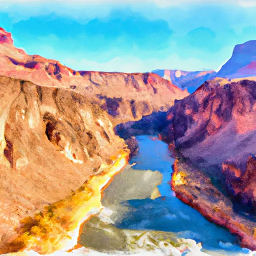
Overall, the Whitewater River Run offers an exhilarating adventure for experienced rafters looking to take on challenging rapids and stunning scenery in the heart of Arizona's wilderness.
River Run Details
| Last Updated | 2026-01-17 |
| River Levels | 8 cfs (3.84 ft) |
| Percent of Normal | 71% |
| Status | |
| Class Level | iii-iv |
| Elevation | ft |
| Run Length | 12.0 Mi |
| Streamflow Discharge | cfs |
| Gauge Height | ft |
| Reporting Streamgage | USGS 09403850 |
Weather Forecast
Nearby Streamflow Levels
River Runs
-
 Headwaters Of The Northern Most Upper Drainage To Confluence With The Colorado River
-
 Begins 0.5 Miles Upstream From The Confluence With The Colorado River
C To Confluence With The Colorado River
-
 Begins 1.5 Miles Upstream From Confluence With The Colorado River To Confluence With The Colorado River
-
 Southern Boundary Of Grand Canyon National Park To Confluence With The Colorado River


