Summary
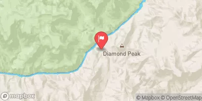
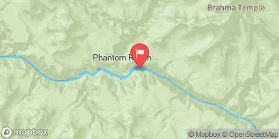
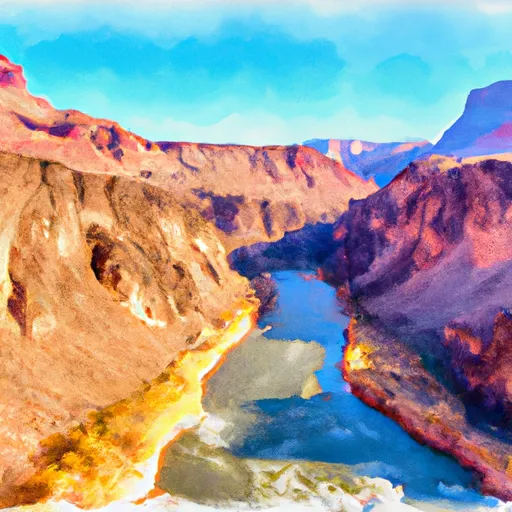
The ideal streamflow range for this run is typically between 1,000 and 5,000 cubic feet per second (cfs), which varies depending on the season and weather conditions. This segment covers around 16 miles, beginning 0.5 miles upstream from the confluence with the Colorado River and continuing downstream until it reaches the Colorado River.
The Whitewater River Run is rated as a Class III-IV, which indicates that it is considered challenging and suitable for experienced paddlers. Some notable rapids and obstacles along the way include the House Rock Rapid, Upper and Lower Wall Rapids, and Hance Rapid. These rapids are known for their technical nature and require advanced skills to navigate safely.
There are specific regulations that apply to the Whitewater River Run, including permit requirements. Rafting and camping permits must be acquired in advance, as the number of visitors allowed in the area is limited. Additionally, there are rules regarding camping locations, fire restrictions, and waste disposal to protect the natural environment.
Overall, the Whitewater River Run is a thrilling and challenging whitewater destination for experienced paddlers. It is important to be aware of the ideal streamflow range, class rating, segment mileage, specific rapids and obstacles, and regulations to ensure a safe and enjoyable experience.
°F
°F
mph
Wind
%
Humidity
15-Day Weather Outlook
River Run Details
| Last Updated | 2022-09-30 |
| River Levels | 76 cfs (15.55 ft) |
| Percent of Normal | 114% |
| Status | |
| Class Level | iii-iv |
| Elevation | ft |
| Run Length | 1.0 Mi |
| Streamflow Discharge | cfs |
| Gauge Height | ft |
| Reporting Streamgage | USGS 09404110 |
5-Day Hourly Forecast Detail
Nearby Streamflow Levels
Area Campgrounds
| Location | Reservations | Toilets |
|---|---|---|
 Tuweep Campground
|
||
 Havasu Campground
|
||
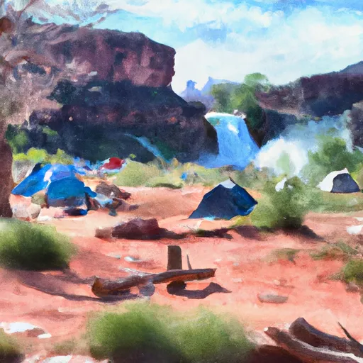 Havasu Falls Campground
|
River Runs
-
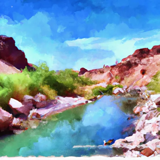 Begins 0.5 Miles Upstream From The Confluence With The Colorado River
C To Confluence With The Colorado River
-
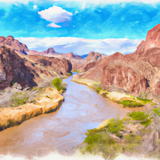 Begins 1.5 Miles Upstream From Confluence With The Colorado River To Confluence With The Colorado River
-
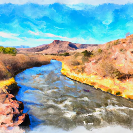 Headwaters Of The Northern Most Upper Drainage To Confluence With The Colorado River
-
 Southern Boundary Of Grand Canyon National Park To Confluence With The Colorado River


