Summary
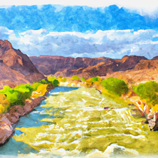
The ideal streamflow range for this run is between 200 and 500 cubic feet per second (cfs). The class rating for this run is a combination of Class III and Class IV rapids, with some technical sections that require significant maneuvering skills.
One of the most notable obstacles on the Whitewater River run is the notorious Upset Rapid, which is a Class IV rapid that requires careful navigation through narrow channels and large waves. Another challenging section of the run includes the Hance Rapid, which features steep drops and large boulders.
In terms of regulations, permits are required to raft on this section of the river, and all rafters must follow strict guidelines for safety and environmental protection. Additionally, there are restrictions on group sizes and camping locations along the river.
Overall, the Whitewater River run offers a thrilling and challenging adventure for experienced rafters, but it is important to pay close attention to the streamflow levels and regulations to ensure a safe and enjoyable trip.
°F
°F
mph
Wind
%
Humidity
15-Day Weather Outlook
River Run Details
| Last Updated | 2026-02-06 |
| River Levels | 8 cfs (3.84 ft) |
| Percent of Normal | 50% |
| Status | |
| Class Level | iii-iv |
| Elevation | ft |
| Run Length | 56.0 Mi |
| Streamflow Discharge | cfs |
| Gauge Height | ft |
| Reporting Streamgage | USGS 09403850 |
5-Day Hourly Forecast Detail
Nearby Streamflow Levels
Area Campgrounds
| Location | Reservations | Toilets |
|---|---|---|
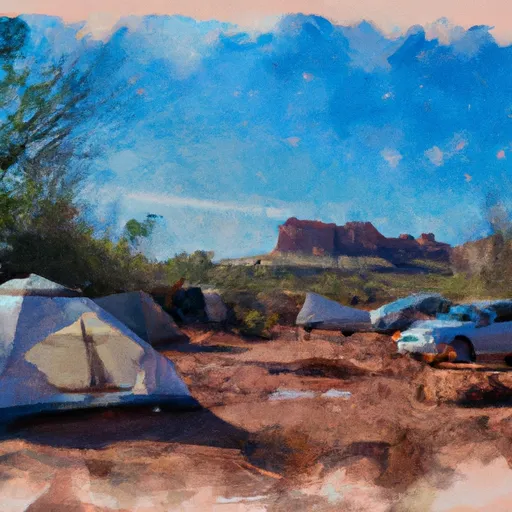 Indian Hollow Campground
|
||
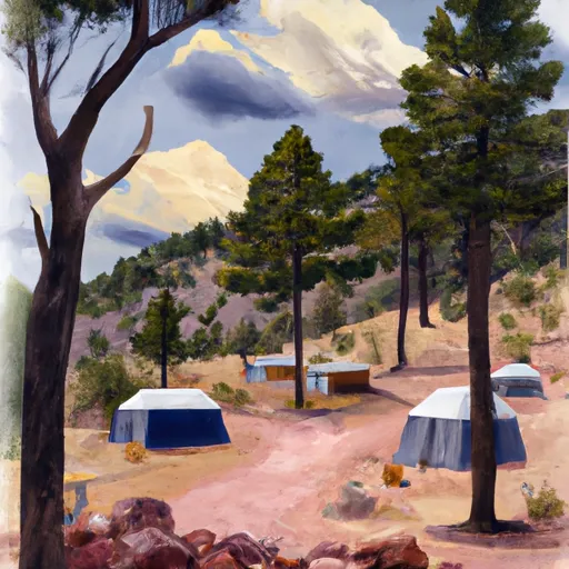 Jumpup Cabin
|
||
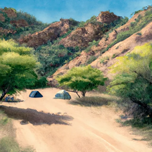 Deer Creek Campsite
|
||
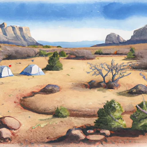 Upper Tapeats Campsite
|
||
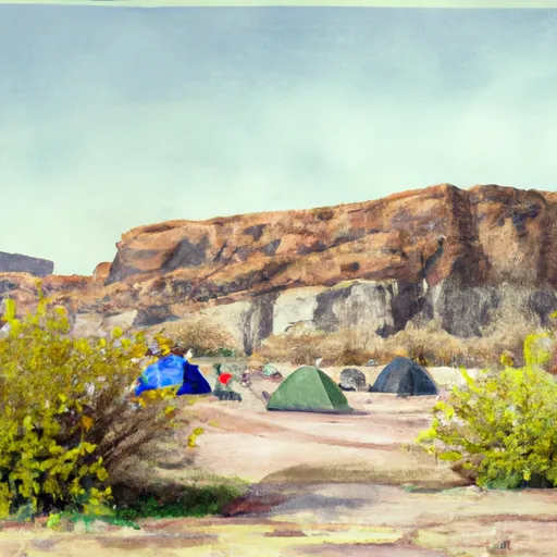 Lower Tapeats Campsite
|
River Runs
-
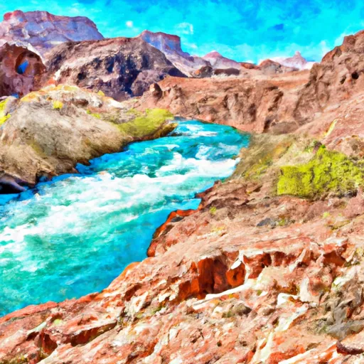 Southern Border Of The Kaibab Paiute Indian Reservation To Confluence With The Colorado River
-
 Confluence With Kanab Creek To Spencer Canyon
-
 Begins 1.5 Miles Upstream From Confluence With The Colorado River To Confluence With The Colorado River
-
 Deer Spring To Confluence With The Colorado River
-
 Kaibab Nf/Blm Boundary Line To Kaibab Nf/Grand Canyon Np Boundary Line
-
 Begins 2 Miles Upstream From Confluence With The Colorado River To Confluence With The Colorado River


