Summary
The ideal streamflow range for this segment is between 1,000 and 3,000 cfs. The river is rated as a Class III, offering moderate difficulty with rapids that are fun and challenging.
The segment covers a distance of approximately 18 miles, with various river rapids and obstacles along the way. One of the most popular rapids is "House Rock," which is a Class III rapid with several drops and twists. Other notable rapids include "Honeymoon" and "Billy the Kid." The river also offers serene stretches with beautiful scenery, making it an ideal spot for a relaxing float.
There are specific regulations in place for this area, including permits that must be obtained prior to entering the river. Additionally, all participants must wear appropriate safety gear, and no alcohol or drugs are allowed on the river. It is important to note that the water levels can change rapidly, so it is crucial to check streamflow levels before planning a trip.
Overall, the Whitewater River Run from Canyon Creek Springs to Fort Apache Indian Reservation Boundary is a thrilling adventure that offers varying degrees of difficulty and stunning scenery. It is important to adhere to all regulations and safety precautions to ensure a safe and enjoyable experience.
°F
°F
mph
Wind
%
Humidity
15-Day Weather Outlook
River Run Details
| Last Updated | 2026-01-20 |
| River Levels | 0 cfs (1.0 ft) |
| Percent of Normal | 36% |
| Status | |
| Class Level | iii-iii |
| Elevation | ft |
| Streamflow Discharge | cfs |
| Gauge Height | ft |
| Reporting Streamgage | USGS 09397500 |
5-Day Hourly Forecast Detail
Nearby Streamflow Levels
Area Campgrounds
| Location | Reservations | Toilets |
|---|---|---|
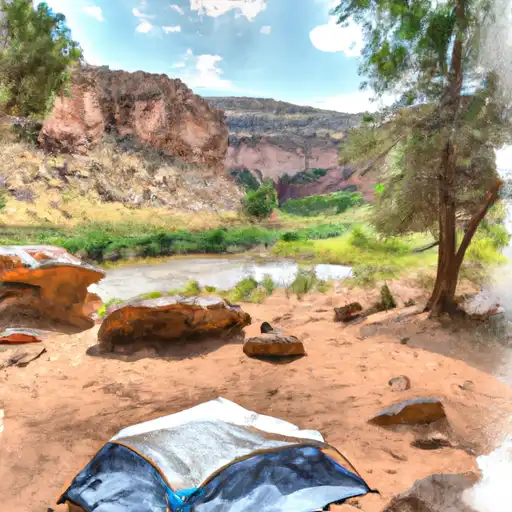 Upper Canyon Creek
|
||
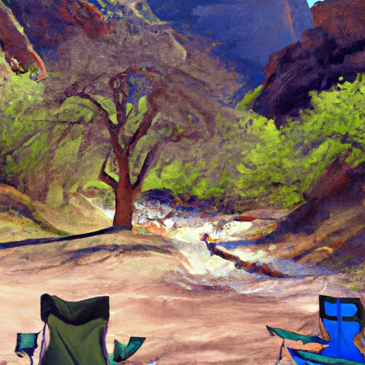 Upper Canyon Creek Campground
|
||
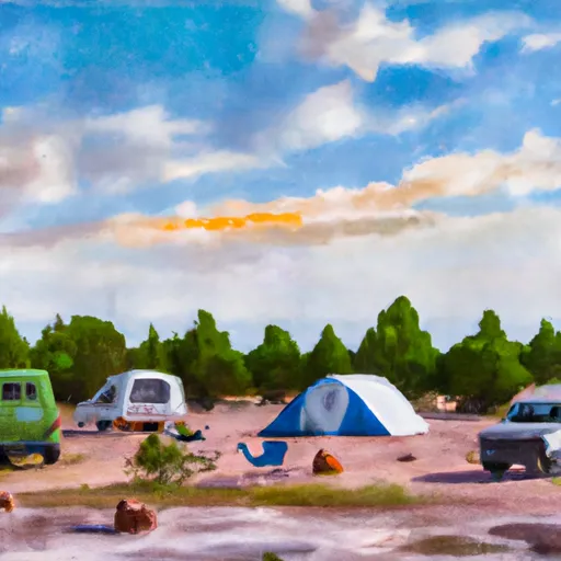 Airplane Flat
|
||
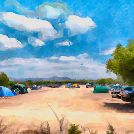 Airplane Flat Campground
|
||
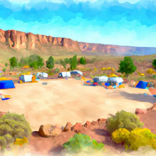 Canyon Point
|
||
 Canyon Point Campground
|


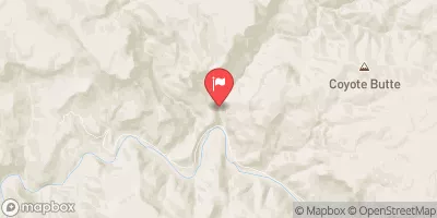
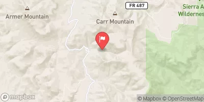
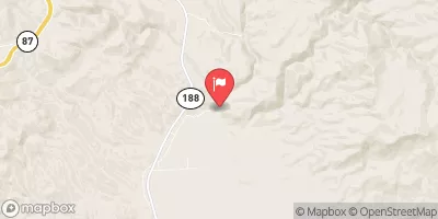
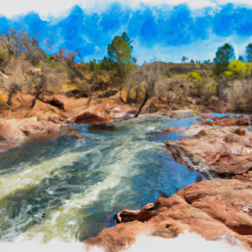
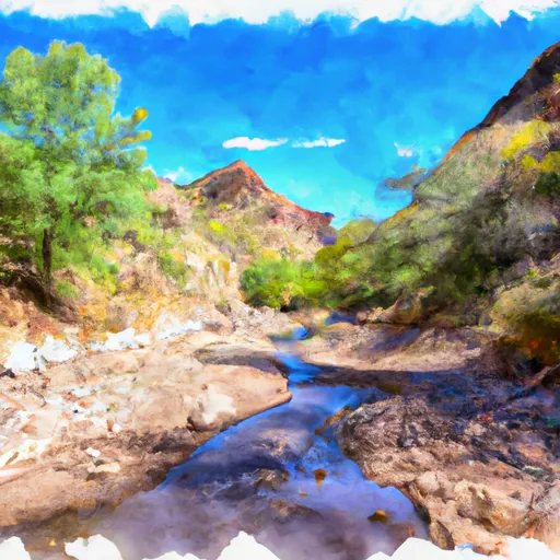 Canyon Creek Springs To Fort Apache Indian Reservation Boundary
 Confluence Of Woods Canyon And Chevelon Creek To South End Of Chevelon Lake
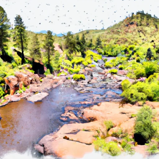 One Mile Below Woods Canyon Lake Dam (Woods Canyon) To Confluence With Chevelon Canyon