One Mile Below Woods Canyon Lake Dam (Woods Canyon) To Confluence With Chevelon Canyon Paddle Report
Last Updated: 2026-02-07
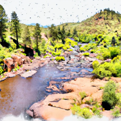
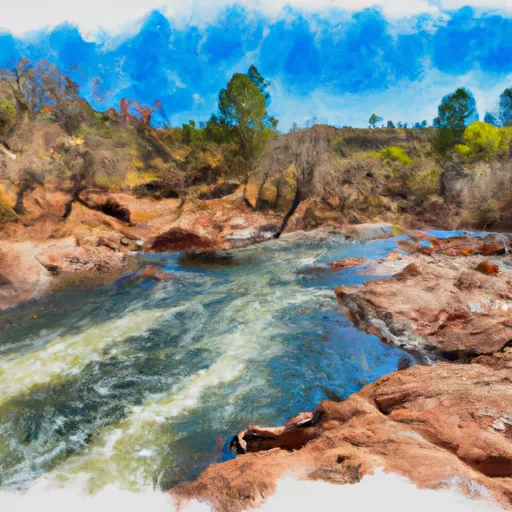
The Whitewater River Run from One Mile Below Woods Canyon Lake Dam to the Confluence with Chevelon Canyon in Arizona is a popular destination for kayaking and rafting enthusiasts.
Summary
The ideal streamflow range for this run is between 100 and 500 cubic feet per second (cfs), but it can be run at higher flows if experienced paddlers are present. The segment mileage of this run is approximately 10 miles, and it is rated as a class III-IV run, with several challenging rapids and obstacles along the way.
Some of the specific rapids and obstacles on this run include the Entrance Rapid, which is a class IV drop located just below the put-in; the S-Turn Rapid, which is a series of tight turns through a narrow channel; and the Chevelon Creek Confluence, which can create large waves and hydraulic features at higher flows. It is important for paddlers to be aware of these obstacles and to have the necessary skills and experience to safely navigate them.
There are also specific regulations that apply to this area, including a requirement for permits to launch a raft or kayak and a prohibition on camping within 200 feet of the river. It is important for paddlers to be aware of these regulations and to follow them in order to protect the natural environment and ensure a safe and enjoyable experience for everyone. Overall, the Whitewater River Run is a challenging and exciting destination for experienced paddlers looking for a thrilling adventure in Arizona's beautiful wilderness.
°F
°F
mph
Wind
%
Humidity
15-Day Weather Outlook
River Run Details
| Last Updated | 2026-02-07 |
| River Levels | 6 cfs (7.62 ft) |
| Percent of Normal | 0% |
| Status | |
| Class Level | iii-iv |
| Elevation | ft |
| Streamflow Discharge | cfs |
| Gauge Height | ft |
| Reporting Streamgage | USGS 09507580 |
5-Day Hourly Forecast Detail
Nearby Streamflow Levels
Area Campgrounds
| Location | Reservations | Toilets |
|---|---|---|
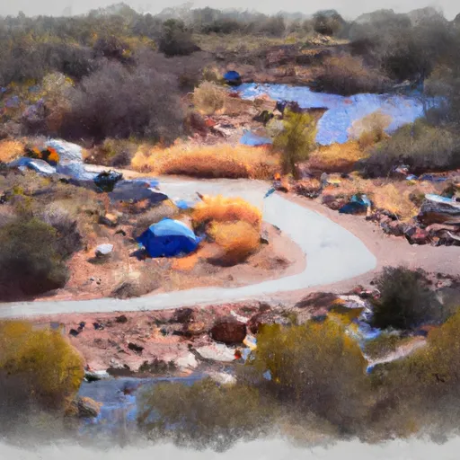 Spillway Campground
|
||
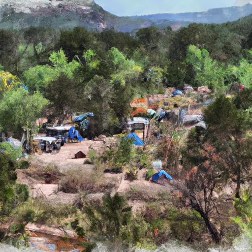 Woods Canyon Group Campground
|
||
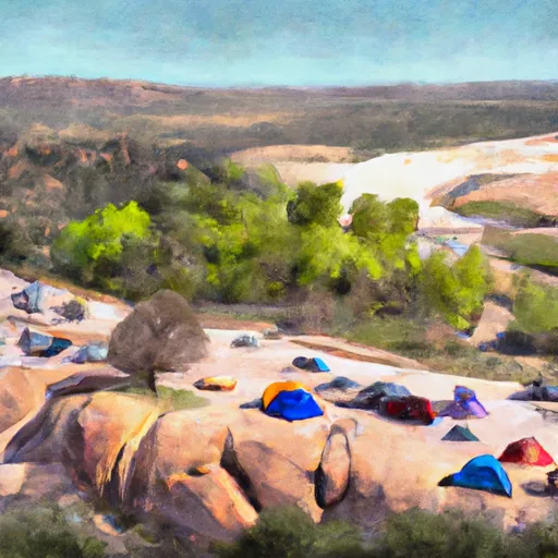 Spillway Group Campground
|
||
 Crook
Crook
|
||
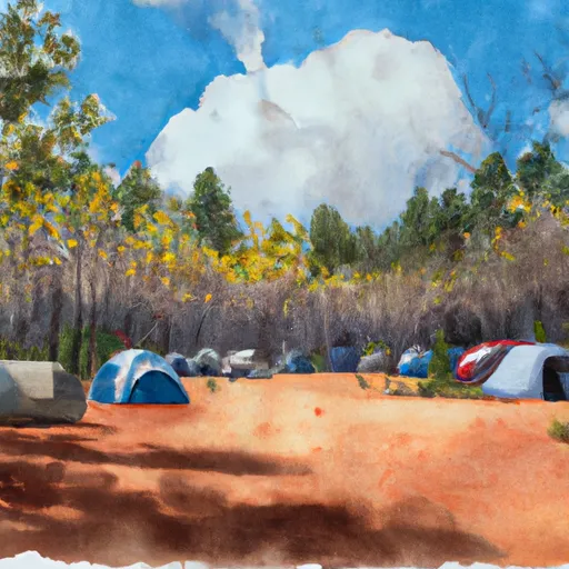 Aspen Campground
|
||
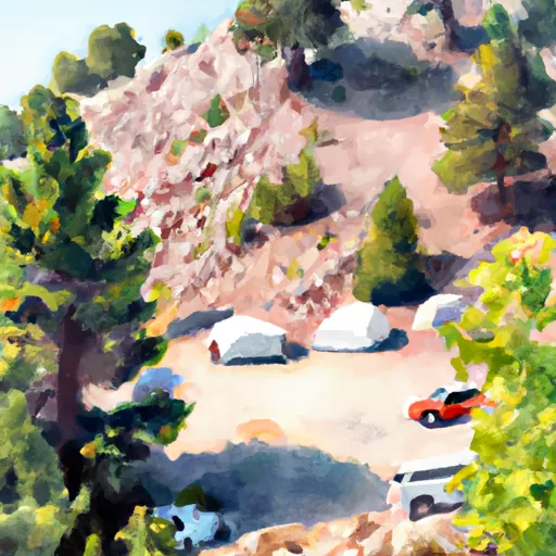 Crook Campground
|


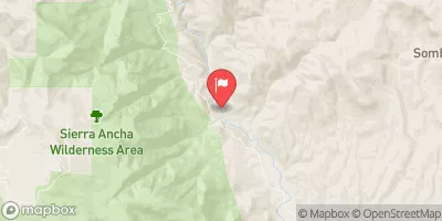
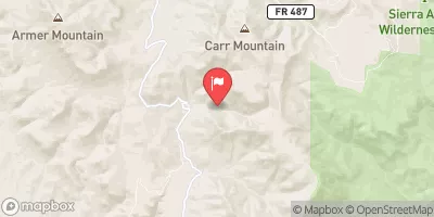
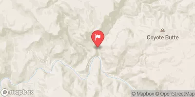
 One Mile Below Woods Canyon Lake Dam (Woods Canyon) To Confluence With Chevelon Canyon
 Confluence Of Woods Canyon And Chevelon Creek To South End Of Chevelon Lake
 Christopher Creek
 Canyon Creek Springs To Fort Apache Indian Reservation Boundary
 Canyon Creek Fish hatchery
 Canyon Creek
 Horton Creek