Summary
The ideal streamflow range for this run is between 100-500 cubic feet per second (cfs), with the best conditions occurring in the spring and early summer months.
There are several notable rapids and obstacles along this stretch of river, including the "Box," a narrow canyon with Class III rapids, and "The Ledge," a steep drop with a Class II rating. It is important to note that this run requires advanced paddling skills and knowledge of whitewater safety techniques.
There are specific regulations in place for this area, including a permit requirement for overnight camping along the river. Additionally, all visitors must follow Leave No Trace principles and pack out all trash and waste. It is important to check with local authorities for any additional regulations or restrictions before embarking on this river run.
°F
°F
mph
Wind
%
Humidity
15-Day Weather Outlook
River Run Details
| Last Updated | 2026-01-20 |
| River Levels | 0 cfs (1.0 ft) |
| Percent of Normal | 36% |
| Status | |
| Class Level | ii-iii |
| Elevation | ft |
| Streamflow Discharge | cfs |
| Gauge Height | ft |
| Reporting Streamgage | USGS 09397500 |
5-Day Hourly Forecast Detail
Nearby Streamflow Levels
Area Campgrounds
| Location | Reservations | Toilets |
|---|---|---|
 Fr 237 Camping Area
|
||
 Spillway Campground
|
||
 Spillway Group Campground
|
||
 Woods Canyon Group Campground
|
||
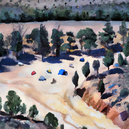 Sinkhole Campground
|
||
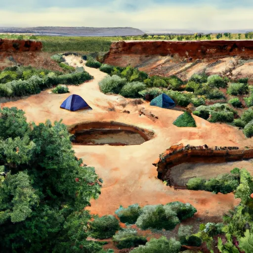 Sinkhole
|


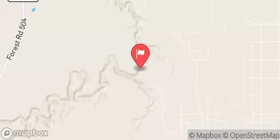
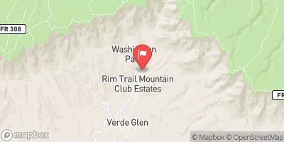
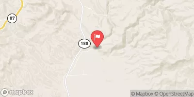
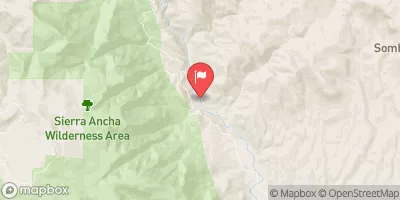
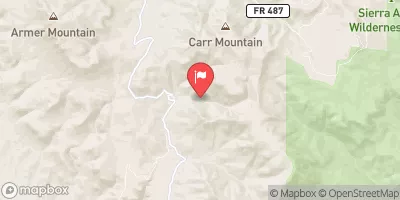
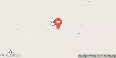
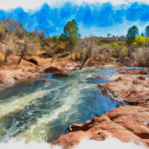 Confluence Of Woods Canyon And Chevelon Creek To South End Of Chevelon Lake
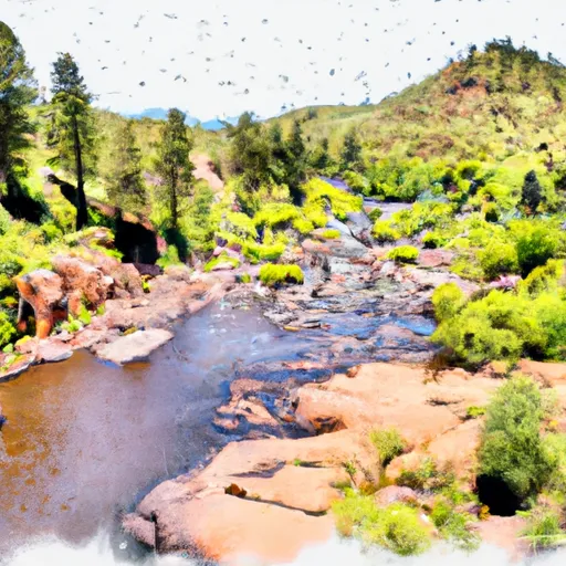 One Mile Below Woods Canyon Lake Dam (Woods Canyon) To Confluence With Chevelon Canyon
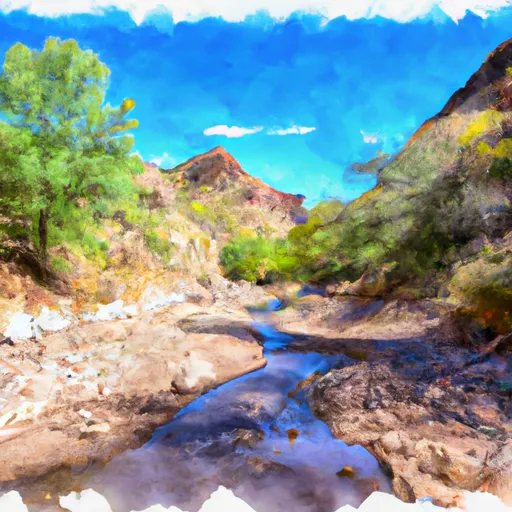 Canyon Creek Springs To Fort Apache Indian Reservation Boundary
 Christopher Creek
 Canyon Creek Fish hatchery
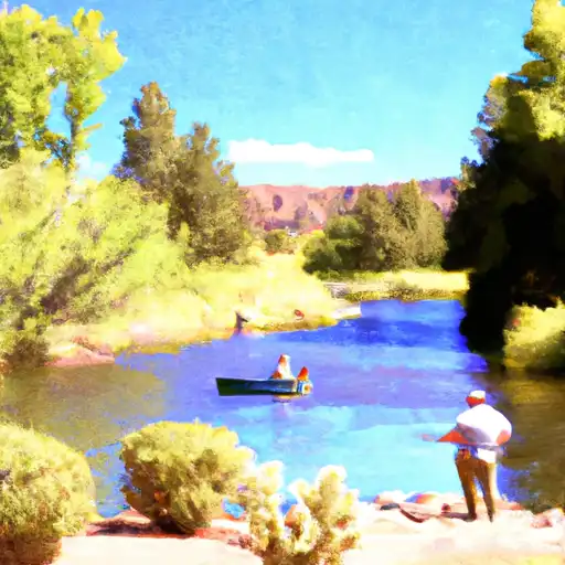 Canyon Creek
 Horton Creek