Summary
The ideal streamflow range for this run is between 100-300 cfs, and it is classified as a Class III-IV river. The segment mileage of this run is approximately 4.5 miles and is known for its challenging rapids and obstacles.
The river rapids and obstacles in this section include a series of drops and ledges, tight turns, and boulder gardens that require skilled maneuvering. The most challenging section of the run is the final mile before the confluence with East Clear Creek, which includes a steep drop followed by a narrow and technical gorge.
It is important to note that this section of the Whitewater River is within the Mogollon Rim Ranger District of the Coconino National Forest, and there are specific regulations in place to protect the natural resources. Visitors are required to obtain a permit from the ranger station before embarking on the run, and there are restrictions on group size, camping, and fire use. Additionally, visitors are expected to practice Leave No Trace principles and respect the natural environment.
In conclusion, the Whitewater River run below the Dam at Knoll Lake to Confluence with East Clear Creek is a challenging and exhilarating adventure for experienced paddlers. It is important to follow regulations and be prepared for the technical rapids and obstacles that are present on this run.
°F
°F
mph
Wind
%
Humidity
15-Day Weather Outlook
River Run Details
| Last Updated | 2026-02-07 |
| River Levels | 6 cfs (7.62 ft) |
| Percent of Normal | 0% |
| Status | |
| Class Level | iii-iv |
| Elevation | ft |
| Streamflow Discharge | cfs |
| Gauge Height | ft |
| Reporting Streamgage | USGS 09507580 |
5-Day Hourly Forecast Detail
Nearby Streamflow Levels
Area Campgrounds
| Location | Reservations | Toilets |
|---|---|---|
 Knoll Lake
|
||
 Knoll Lake Campground
|
||
 Bear Canyon Lake and Camping Area
|
||
 Tonto Creek Recreation Sites
|
||
 Upper Tonto Creek
|
||
 Fr 84 Camping Area
|


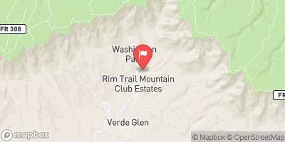
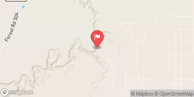
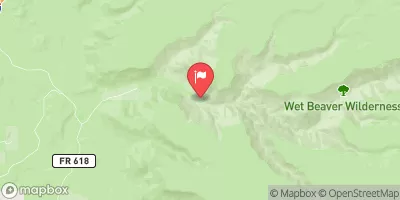
 Below The Dam At Knoll Lake To Confluence With East Clear Creek
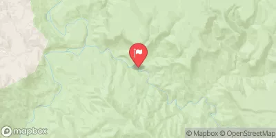
 Below Flow Structure In Sec 16, T12N,R11E To Confluence With Clear Creek
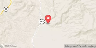
 1/4 Mile Below Wiggins Crossing To Confluence With Clear Creek
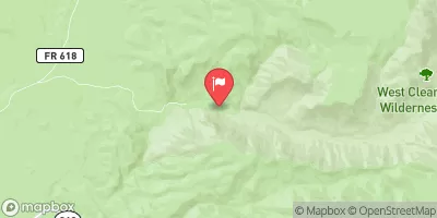
 Christopher Creek