2026-02-17T17:00:00-07:00
* WHAT...Snow expected. Total snow accumulations up to 8 inches. Winds gusting as high as 50 mph. * WHERE...Mogollon Rim, Kaibab Plateau, and White Mountains. * WHEN...From 8 PM this evening to 5 PM MST Tuesday. * IMPACTS...Roads, and especially bridges and overpasses, will likely become slick and hazardous. Periods of moderate to heavy snowfall will create snow-covered roads and hazardous driving conditions. The hazardous conditions will impact the Tuesday morning and evening commutes. Gusty winds could bring down tree branches. * ADDITIONAL DETAILS... Forecast snowfall amounts from 8 PM MST Today to 5 PM MST Tuesday... Alpine: 1 to 2" Forest Lakes: 4 to 6" Fredonia: Trace to 1" Doney Park: 2 to 4" Flagstaff: 3 to 6" Munds Park: 2 to 4" Pine-Strawberry: 1 to 2" Whiteriver: Trace to 1" Williams: 2 to 4" Heber-Overgaard: Trace to 1" Jacob Lake: 4 to 6" Pinetop-Lakeside: Trace to 1" Show Low: 0"
Summary
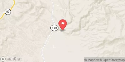
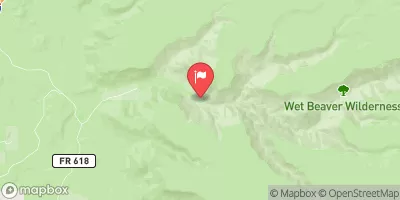
This run stretches from Flow Structure in Sec 16, T12N, R11E to the confluence with Clear Creek, covering a distance of approximately 8 miles. The ideal streamflow range for this run is between 200-400 cfs, with class III to IV rapids. The run features a variety of rapids and obstacles, including "Snap Dragon," "Picket Fence," and "The Chute."
This section of the river is located within the Prescott National Forest and is subject to specific regulations. Before embarking on the run, visitors must obtain a permit from the Forest Service. Additionally, visitors are required to adhere to Leave No Trace principles, which encourages visitors to leave the area as they found it and minimize their impact on the environment.
In summary, the Whitewater River Run in Arizona covers a distance of approximately 8 miles and features class III to IV rapids. The ideal streamflow range for this run is between 200-400 cfs, and visitors must obtain a permit from the Forest Service and follow Leave No Trace principles.
°F
°F
mph
Wind
%
Humidity
15-Day Weather Outlook
River Run Details
| Last Updated | 2026-02-07 |
| River Levels | 6 cfs (7.62 ft) |
| Percent of Normal | 0% |
| Status | |
| Class Level | iii |
| Elevation | ft |
| Streamflow Discharge | cfs |
| Gauge Height | ft |
| Reporting Streamgage | USGS 09507580 |
5-Day Hourly Forecast Detail
Nearby Streamflow Levels
Area Campgrounds
| Location | Reservations | Toilets |
|---|---|---|
 Verde Glen Dispersed
|
||
 Knoll Lake Campground
|
||
 Knoll Lake
|
||
 Third Crossing
|
||
 Kehl Springs Campground
|
||
 Kehl Springs
|
River Runs
-
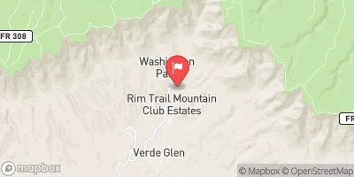
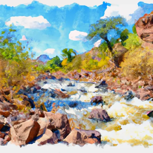 Below Flow Structure In Sec 16, T12N,R11E To Confluence With Clear Creek
-
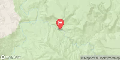
 Below The Dam At Knoll Lake To Confluence With East Clear Creek
-
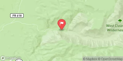
 Crossing Of Forest Road 96 To Coconino National Forest Boundary
-
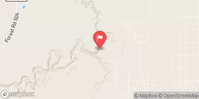
 Headwaters In Sec 14, T13N, R9E To Clear Creek Wilderness Boundary
-
 Northern Boundary Of Hellsgate Wilderness To Southern Boundary Of Hellsgate Wilderness
-
 Christopher Creek


