Summary
The ideal streamflow range for the river is between 250 and 1,000 cubic feet per second (cfs). The river is rated as a class II-III, which means it has moderate rapids and obstacles that require some maneuvering to navigate safely. The segment mileage for the river run is approximately 18 miles.
The specific river rapids and obstacles include several drops, ledges, and boulder gardens that require careful navigation. One of the most significant rapids on the river is the "Rock Drop," which is a large boulder that creates a significant drop in the river and requires precise maneuvering to avoid capsizing. Other notable rapids include "The Chute" and "The S-Turn."
Specific regulations for the area include obtaining a permit from the Apache-Sitgreaves National Forest before launching any watercraft on the river. Additionally, visitors should adhere to Leave No Trace principles and pack out all trash and waste. Camping is permitted in designated campsites along the river, but visitors should be aware of fire restrictions and bear safety protocols.
Overall, the Whitewater River Run is a challenging and scenic destination for experienced kayakers and rafters. It is important to check current streamflow levels, weather conditions, and regulations before planning a trip.
°F
°F
mph
Wind
%
Humidity
15-Day Weather Outlook
River Run Details
| Last Updated | 2025-12-01 |
| River Levels | 13 cfs (4.42 ft) |
| Percent of Normal | 1% |
| Status | |
| Class Level | ii-iii |
| Elevation | ft |
| Streamflow Discharge | cfs |
| Gauge Height | ft |
| Reporting Streamgage | USGS 09444200 |
5-Day Hourly Forecast Detail
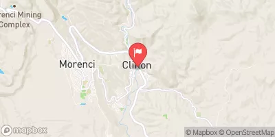
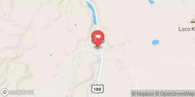
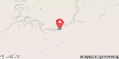
Nearby Streamflow Levels
Area Campgrounds
| Location | Reservations | Toilets |
|---|---|---|
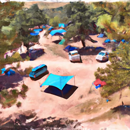 Blue Crossing Campground
|
||
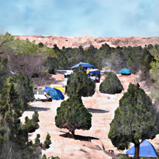 Strayhorse Campground
|
||
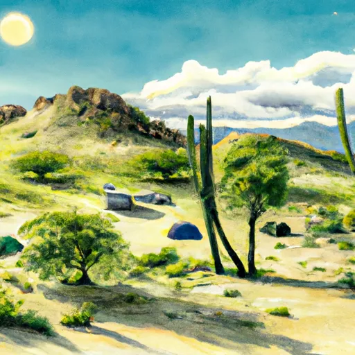 Strayhorse
|
||
 Pueblo Park Campground
|
||
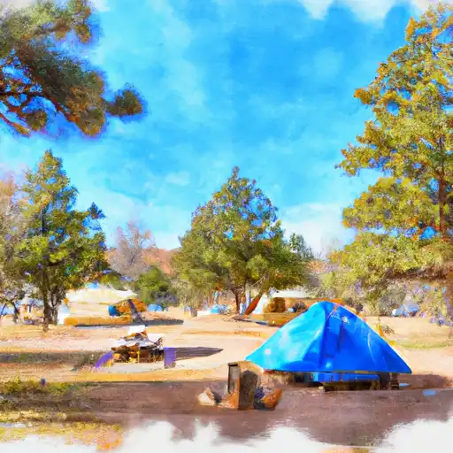 Pueblo Park
|
||
 KP Cienega
|


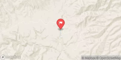
 Headwaters To Confluence With Blue River
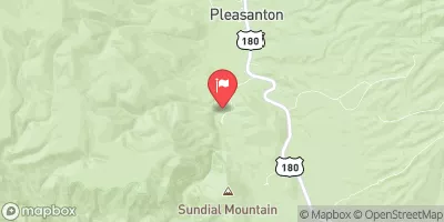
 Confluence With Bear Creek To 1/4 Mile Above Blue Creek Trailhead
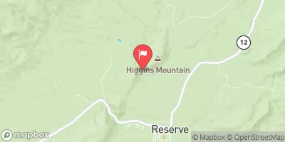
 Headwaters To 1/4 Mile Below Forest Road 587
 Kp Trailhead To Private Land Boundary In Scetion 11, T2N,R30E,Gila And Salt River Meridian