Summary
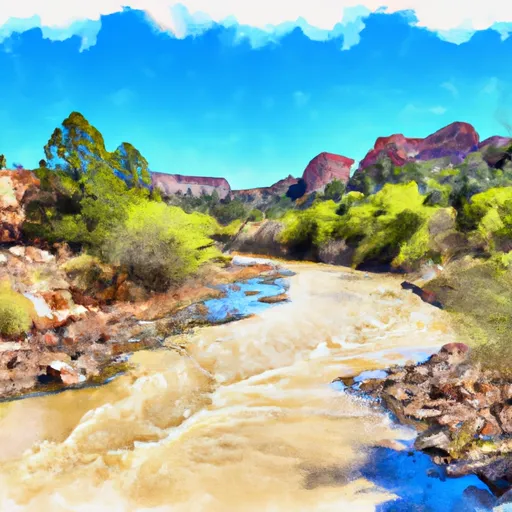
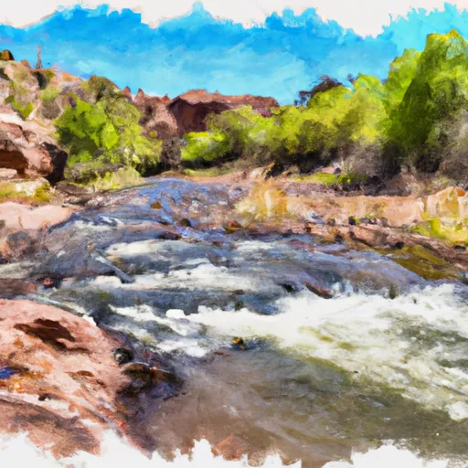
The ideal streamflow range for this run is between 600 and 1200 cfs. This section of the river is rated as Class III, which means it has moderate rapids that require some technical skill to navigate. The segment mileage for this run is 7.5 miles, making it a relatively short trip.
The rapids and obstacles on this run include the following:
- The Waterfall: This is the first major drop on the run and is a Class III rapid with a drop of about 8 feet.
- The Chutes: This is a series of Class II and Class III rapids that require some technical skill to navigate.
- The Maze: This is a Class III rapid with multiple channels and rocks that require careful maneuvering.
- The S-Turn: This is a Class III rapid with a tight turn that requires precise paddling.
There are specific regulations that apply to this area, including the need for a permit to access the river. Additionally, visitors are required to pack out all trash and follow Leave No Trace principles to minimize their impact on the environment. Overall, the Whitewater River Run is a challenging and rewarding kayaking destination that offers beautiful scenery and exciting rapids for experienced paddlers.
°F
°F
mph
Wind
%
Humidity
15-Day Weather Outlook
River Run Details
| Last Updated | 2026-02-07 |
| River Levels | 48 cfs (3.19 ft) |
| Percent of Normal | 18% |
| Status | |
| Class Level | iii-iii |
| Elevation | ft |
| Streamflow Discharge | cfs |
| Gauge Height | ft |
| Reporting Streamgage | USGS 09489500 |
5-Day Hourly Forecast Detail
Nearby Streamflow Levels
Area Campgrounds
| Location | Reservations | Toilets |
|---|---|---|
 KP Cienega
|
||
 KP Cienega Campground
|
||
 Strayhorse
|
||
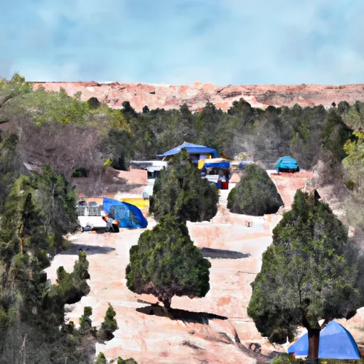 Strayhorse Campground
|
||
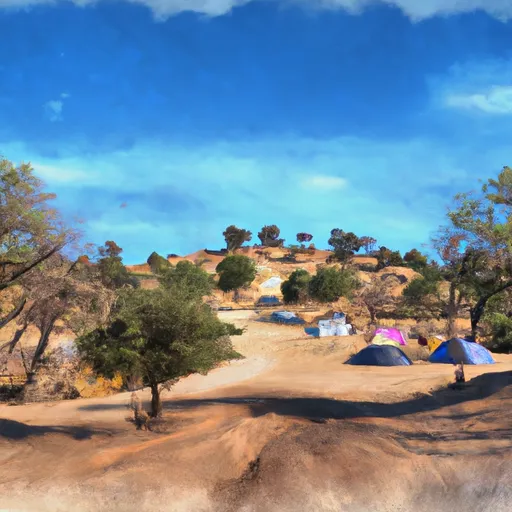 Conklin Creek Campgrounds
|
||
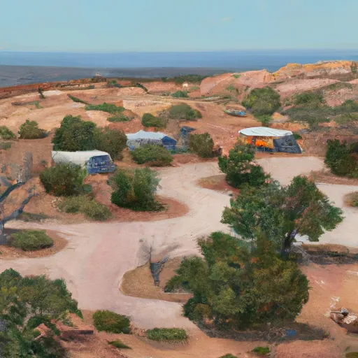 Hannagan
|
River Runs
-
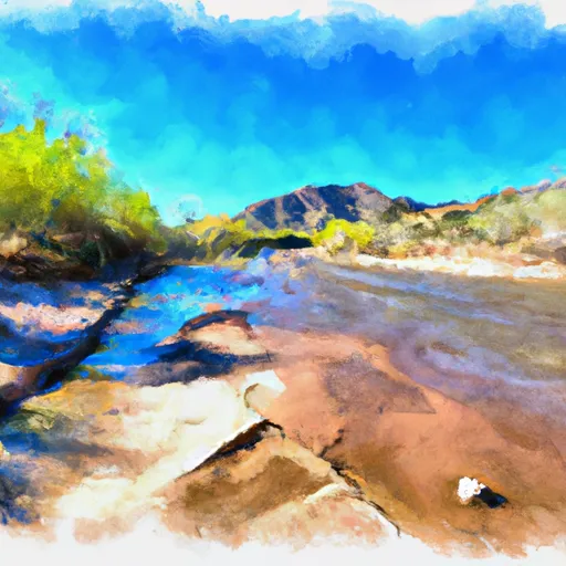 Kp Trailhead To Private Land Boundary In Scetion 11, T2N,R30E,Gila And Salt River Meridian
-
 Xx To Confluence With East Eagle Creek
-
 Headwaters To 1/4 Mile Below Forest Road 587
-
 Forest Road 24 To 0.1 Miles Above Fish Barrier
-
 Confluence Of The North And South Forks Bear Wallow Creek To 0.1 Mile Above Fish Barrier
-
 1/4 Mile Below Forest Road 587 To Sawmill Cabin


