Summary
The ideal streamflow range for this river run is between 200-500 cfs. The segment mileage is approximately 8 miles, and the river is rated a Class III-IV. The river has several rapids, including "The Chute," "The Slot," and "The Notch," which provide exciting challenges for experienced paddlers.
One of the main obstacles on this river is the notorious "Rock Drop," which requires precise navigation to avoid getting stuck. Additionally, the river features several narrow sections, requiring expert maneuvering and strong technical skills.
The Clear Creek Wilderness Boundary marks the end of the run and is the point where paddlers must exit the river. There are specific regulations in place for this area, including a permit requirement for overnight camping and restrictions on campfire use. It is also important to remember to minimize your environmental impact and leave no trace during your visit to this beautiful river.
In conclusion, the Whitewater River is a challenging and exciting river run for experienced paddlers, with a recommended streamflow range of 200-500 cfs, a segment mileage of 8 miles, and a Class III-IV rating. Paddlers should be prepared for rapids like "The Chute," "The Slot," and "The Notch," as well as obstacles like the "Rock Drop." It is important to be aware of specific regulations in the Clear Creek Wilderness Boundary area, including permit requirements and campfire restrictions.
°F
°F
mph
Wind
%
Humidity
15-Day Weather Outlook
River Run Details
| Last Updated | 2026-02-07 |
| River Levels | 6 cfs (7.62 ft) |
| Percent of Normal | 0% |
| Status | |
| Class Level | iii-iv |
| Elevation | ft |
| Streamflow Discharge | cfs |
| Gauge Height | ft |
| Reporting Streamgage | USGS 09507580 |
5-Day Hourly Forecast Detail
Nearby Streamflow Levels
Area Campgrounds
| Location | Reservations | Toilets |
|---|---|---|
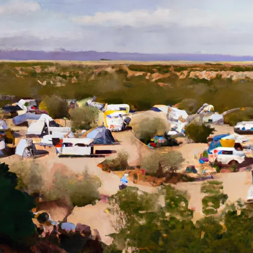 Long Valley Work Center Group Campground
|
||
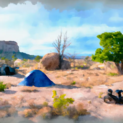 Clints Well
|
||
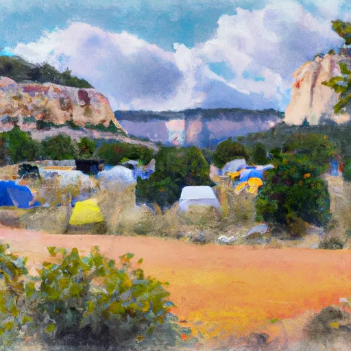 Clints Well Campground
|
||
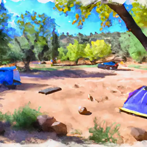 Kehl Springs
|
||
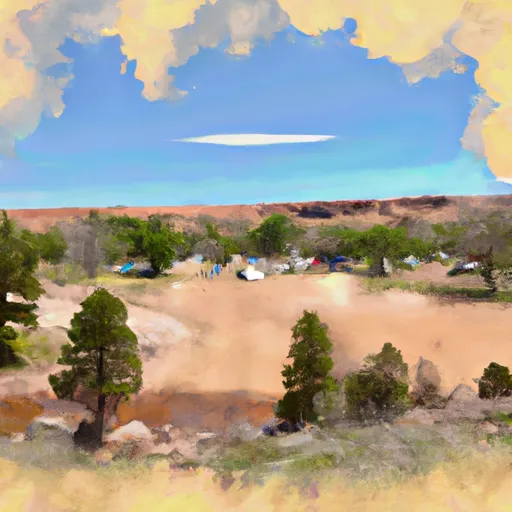 Kehl Springs Campground
|
||
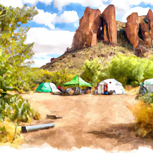 Rock Crossing
|


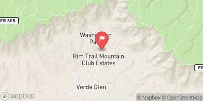
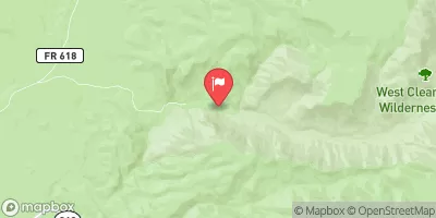
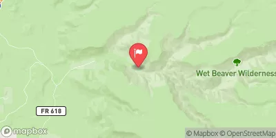
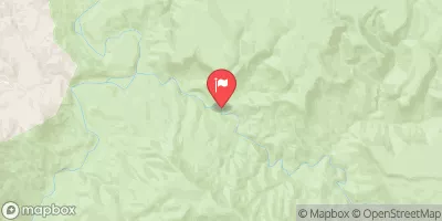
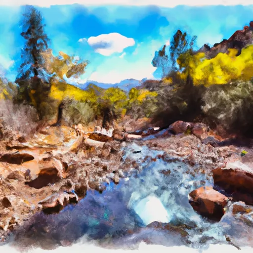 Headwaters In Sec 14, T13N, R9E To Clear Creek Wilderness Boundary
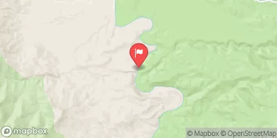
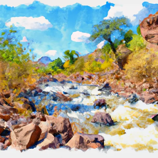 Below Flow Structure In Sec 16, T12N,R11E To Confluence With Clear Creek
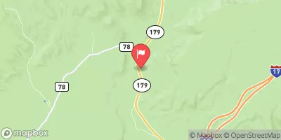
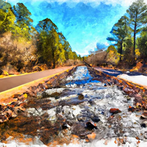 Crossing Of Forest Road 96 To Coconino National Forest Boundary