0.1 Miles Below Lower Fish Barrier To 1/2 Mile Above West Fork Dispersed Campground Paddle Report
Last Updated: 2021-01-02
Get the latest Paddle Report, Streamflow Levels, and Weather Forecast for 0.1 Miles Below Lower Fish Barrier To 1/2 Mile Above West Fork Dispersed Campground in Arizona. Arizona Streamflow Levels and Weather Forecast
Summary
°F
°F
mph
Wind
%
Humidity
15-Day Weather Outlook
River Run Details
| Last Updated | 2021-01-02 |
| River Levels | 1 cfs (1.26 ft) |
| Percent of Normal | 14% |
| Status | |
| Class Level | None |
| Elevation | ft |
| Streamflow Discharge | cfs |
| Gauge Height | ft |
| Reporting Streamgage | USGS 09383300 |
5-Day Hourly Forecast Detail
Nearby Streamflow Levels
Area Campgrounds
| Location | Reservations | Toilets |
|---|---|---|
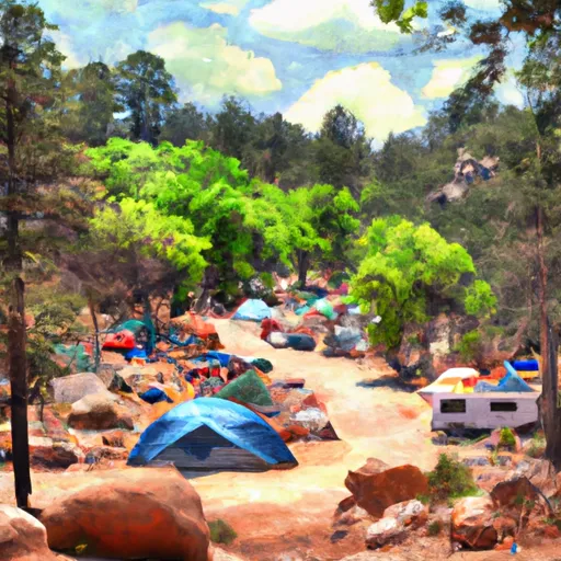 Cutthroat Campground
|
||
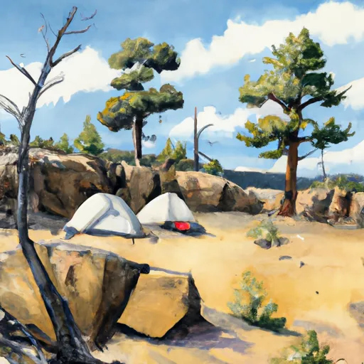 Cutthroat
|
||
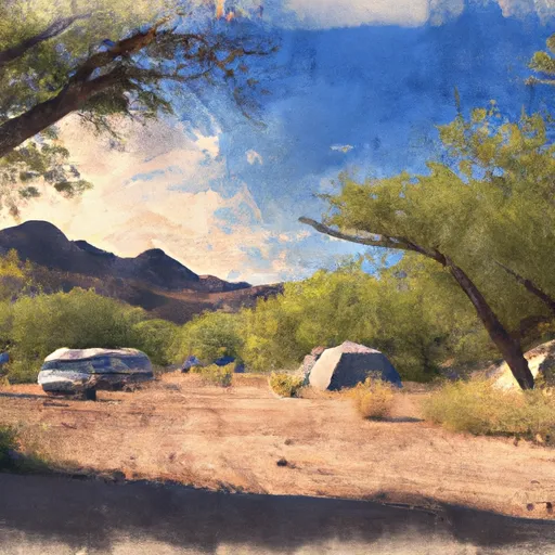 Apache Trout Campground
|
||
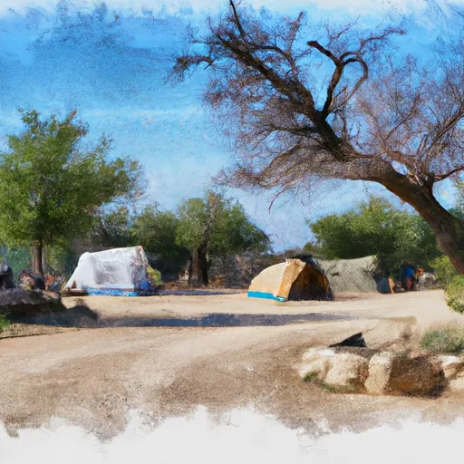 Brookchar Campground
|
||
 Grayling Campground
|
||
 Brookchar
|
River Runs
-
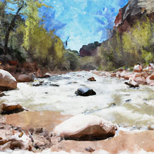 0.1 Miles Below Lower Fish Barrier To 1/2 Mile Above West Fork Dispersed Campground
-
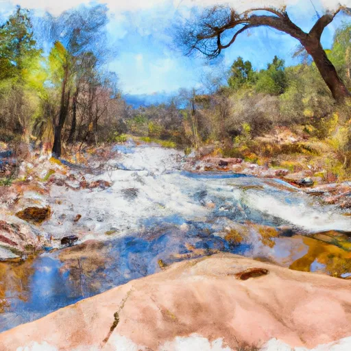 Forest Boundary To 0.15 Miles Below Forest Road 116
-
 Headwaters To Confluence With West Fork Black River
-
 Headwaters In Mount Baldy Wilderness To 0.1 Miles Above Upper Fish Barrier
-
 State Highway 261 To 1/2 Mile Above Crosby Crossing
-
 Headwaters In Mount Baldy Wilderness To Wilderness Boundary


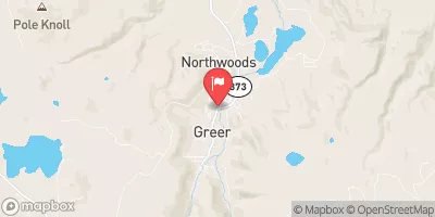
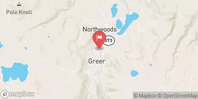
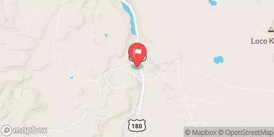
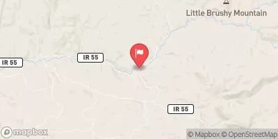
 Crescent Lake Point Area Fishing Site
 Lee Valley Reservoir
 River Reservoir South Fishing Site
 Bunch Reservoir