Summary
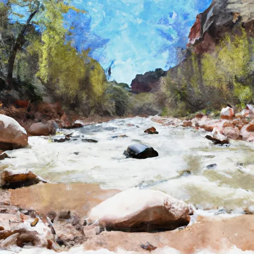
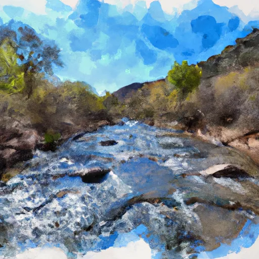
The ideal streamflow range for this section of the river is between 200-400 cfs. This stretch of the river has a Class III-V rating and spans a segment mileage of 11.2 miles from the Headwaters in Mount Baldy Wilderness to 0.1 miles above Upper Fish Barrier.
The Whitewater River run is known for its challenging rapids, including the “Chute,” “Devil’s Hole,” and “Wall Drop.” These rapids present significant obstacles for rafters and require expert navigation skills. The river also features several waterfalls and narrow chutes, which add to the excitement of the run.
Specific regulations to the area require that all boaters have a permit and follow Leave No Trace principles. The permit system is designed to limit the number of boaters on the river and protect the wilderness area. Additionally, all boaters must wear personal flotation devices and carry appropriate safety equipment.
Overall, the Whitewater River run is an exhilarating and challenging whitewater experience for experienced rafters. It is important to plan ahead and adhere to regulations to ensure a safe and enjoyable trip.
°F
°F
mph
Wind
%
Humidity
15-Day Weather Outlook
River Run Details
| Last Updated | 2021-01-02 |
| River Levels | 1 cfs (1.26 ft) |
| Percent of Normal | 14% |
| Status | |
| Class Level | iii-v |
| Elevation | ft |
| Streamflow Discharge | cfs |
| Gauge Height | ft |
| Reporting Streamgage | USGS 09383300 |
5-Day Hourly Forecast Detail
Nearby Streamflow Levels
Area Campgrounds
| Location | Reservations | Toilets |
|---|---|---|
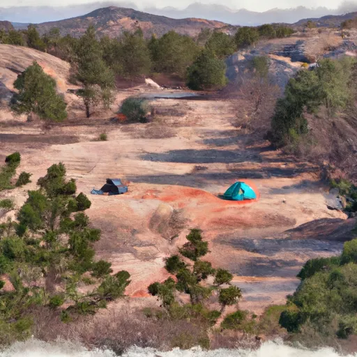 Gabaldon
|
||
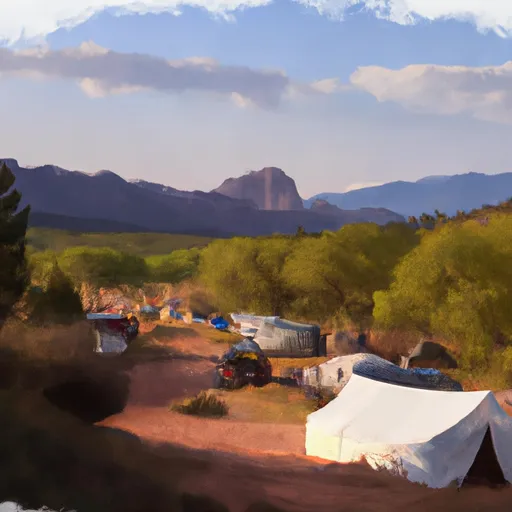 Gabaldon Horse Camp
|
||
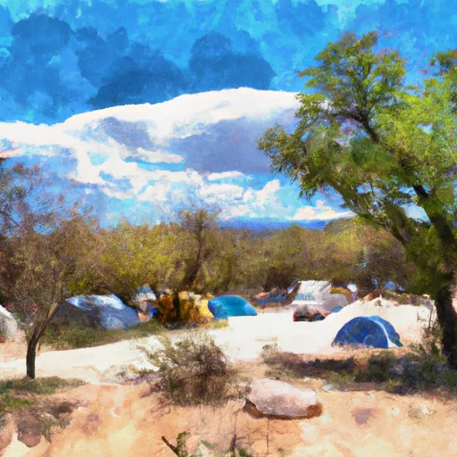 Winn Group Campground
|
||
 Winn
Winn
|
||
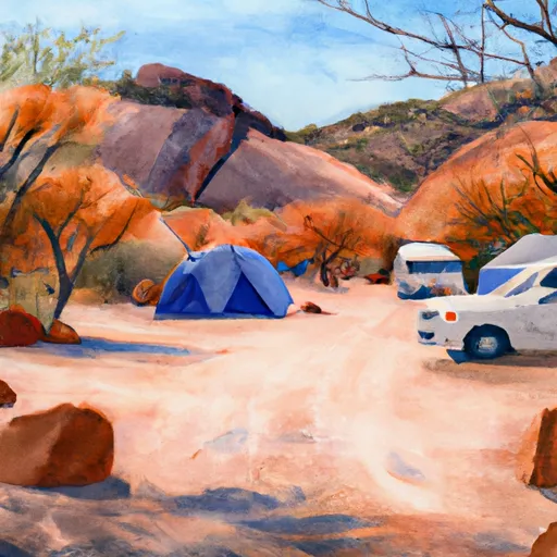 Winn Campground
|
||
 Sunrise Lake
|
River Runs
-
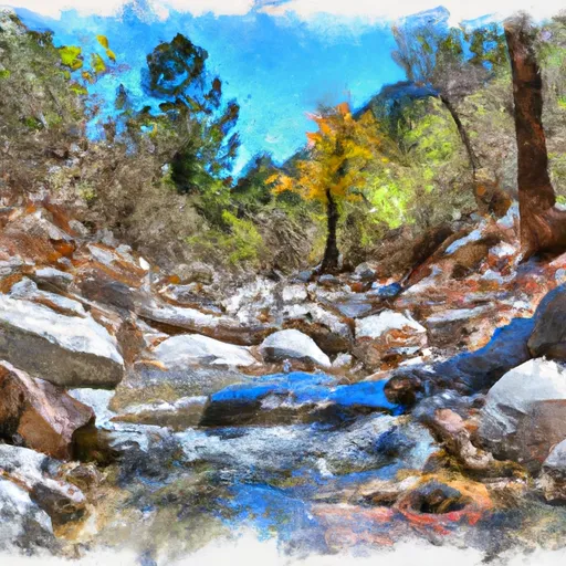 Headwaters In Mount Baldy Wilderness To 0.1 Miles Above Upper Fish Barrier
-
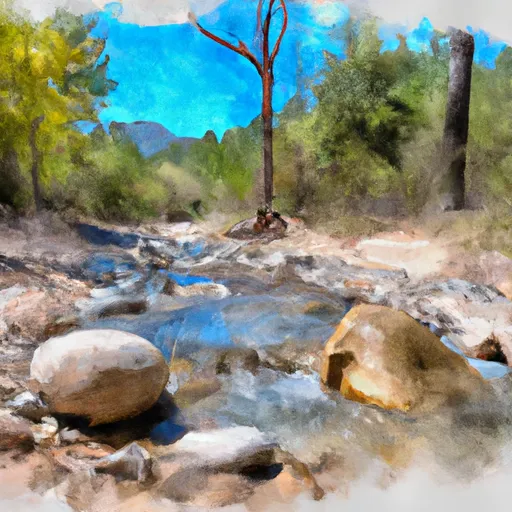 Headwaters In Mount Baldy Wilderness To Wilderness Boundary
-
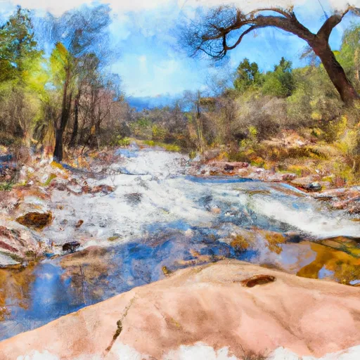 Forest Boundary To 0.15 Miles Below Forest Road 116
-
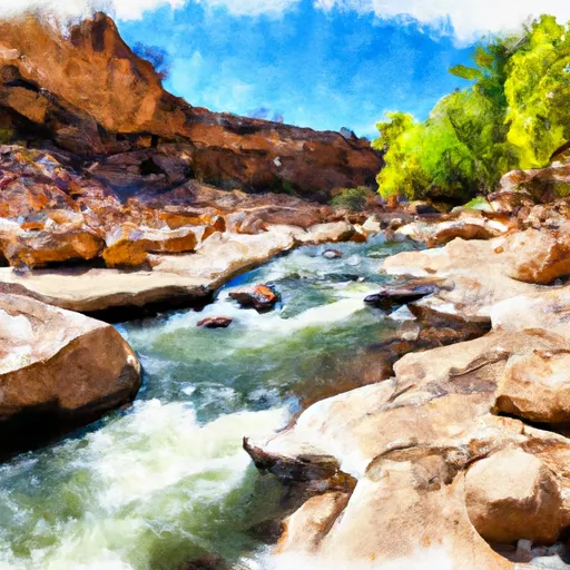 West Fork Little Colorado River
-
 0.1 Miles Below Lower Fish Barrier To 1/2 Mile Above West Fork Dispersed Campground
-
 Headwaters To Confluence With West Fork Black River




 Crescent Lake Point Area Fishing Site
 Big Lake Dam Parking Fishing Site
 River Reservoir South Fishing Site
 Bunch Reservoir