2026-02-18T19:00:00-07:00
* WHAT...Southwest winds 30 to 40 mph with gusts up to 60 to 75 mph. * WHERE...Little Colorado River Valley, Painted Desert, and White Mountains. * WHEN...Until 7 PM MST this evening. * IMPACTS...Damaging winds will blow down trees and power lines. Widespread power outages are expected. Travel will be difficult, especially for high profile vehicles.
Summary
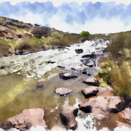
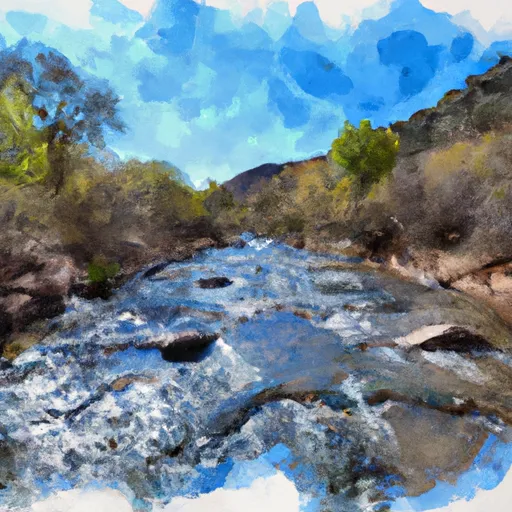
The ideal streamflow range for this section of the river is between 500-1000 cfs. The run is rated as Class IV-V, which is meant for experienced paddlers only. The segment of the river covers a distance of 7.5 miles.
The Whitewater River has a number of challenging rapids and obstacles that require technical skills. The run consists of several drops, ledges, and boulder gardens that demand precise boat control. The rapids to watch out for include S-turn, Boneyard, Pinball, and Three Forks. The Three Forks Rapid is the most challenging of all, and it requires maneuvering through a narrow channel with a sharp left turn and multiple ledges.
There are specific regulations to be adhered to when running this section of the river. The Arizona Game and Fish Department requires all boaters to wear personal flotation devices (PFD) at all times. Additionally, boaters must obtain a permit to run this section of the river. The permit is issued by the Arizona Game and Fish Department, and it is meant to regulate the number of boaters accessing the river at any given time.
In conclusion, the Whitewater River Run from Confluence with Boneyard Creek to Confluence With Coyote Creek in Arizona is a challenging and thrilling whitewater experience. It demands technical skills and experience from paddlers due to its Class IV-V rating and challenging rapids. Boaters must adhere to specific regulations to ensure their safety and reduce environmental impact on the river.
°F
°F
mph
Wind
%
Humidity
15-Day Weather Outlook
River Run Details
| Last Updated | 2021-01-02 |
| River Levels | 1 cfs (1.26 ft) |
| Percent of Normal | 14% |
| Status | |
| Class Level | iv-v |
| Elevation | ft |
| Streamflow Discharge | cfs |
| Gauge Height | ft |
| Reporting Streamgage | USGS 09383300 |
5-Day Hourly Forecast Detail
Nearby Streamflow Levels
Area Campgrounds
| Location | Reservations | Toilets |
|---|---|---|
 Diamond Rock
|
||
 Diamond Rock Campground
|
||
 Aspen Campground - East Fork Black River
|
||
 Deer Creek Campground
|
||
 Raccoon
|
||
 Raccoon Campground
|
River Runs
-
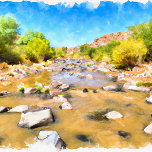 Confluence With Boneyard Creek To Confluence With Coyote Creek
-
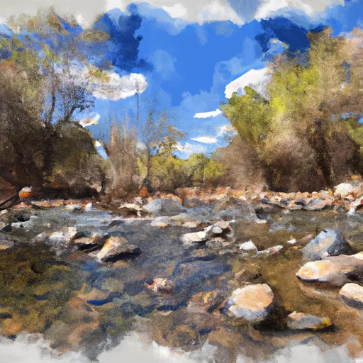 Confluence With Coyote Creek To 1/4 Mile Above Diamond Rock Campground
-
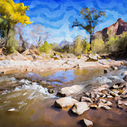 1/4 Mile Above Diamond Rock Campground To Confluence With West Fork Black River
-
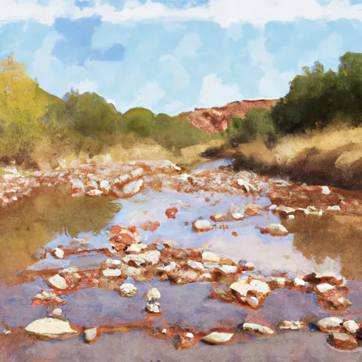 1/2 Mile Below Crosby Crossing To Confluence With Boneyard Creek
-
 1/2 Mile Above Crosby Crossing To 1/2 Mile Below Crosby Crossing
-
 Headwaters To Confluence With West Fork Black River


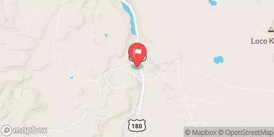
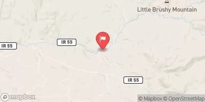
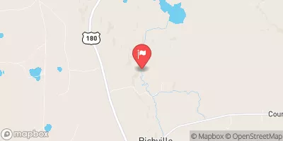
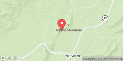
 Crescent Lake Point Area Fishing Site
 San Francisco River
 Hulsey Lake Fishing Site
 Lee Valley Reservoir