Summary
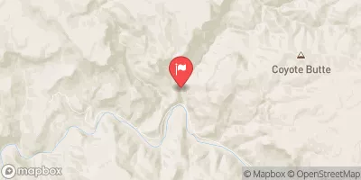
The ideal streamflow range for this section of the river is between 200 and 600 cubic feet per second (cfs), depending on the vessel used. The class rating for this section of the river is class III-IV, meaning it is recommended for experienced paddlers with proper equipment.
The total segment mileage for this run is about 10 miles, with a mix of calm stretches and challenging rapids. Some of the specific rapids and obstacles include "One Lane Bridge," "The Chute," "The Plunge," and "The Squeeze." These rapids are known for their narrow channels, sharp turns, and steep drops, making them challenging for even the most experienced paddlers.
There are specific regulations to the area that paddlers must follow, including obtaining a permit from the Bureau of Land Management and adhering to strict Leave No Trace principles. Additionally, there are rules regarding camping and fires along the river, so it is essential to plan ahead and bring all necessary gear.
Overall, the Whitewater River Run from Rock Springs to Confluence with Cottonwood Wash is an exciting and challenging river run that requires proper planning and experience. It is important to check current streamflow conditions and weather forecasts before embarking on this adventure to ensure a safe and enjoyable trip.
°F
°F
mph
Wind
%
Humidity
15-Day Weather Outlook
River Run Details
| Last Updated | 2026-02-07 |
| River Levels | 0 cfs (1.16 ft) |
| Percent of Normal | 14% |
| Status | |
| Class Level | iii-iv |
| Elevation | ft |
| Streamflow Discharge | cfs |
| Gauge Height | ft |
| Reporting Streamgage | USGS 09498503 |
5-Day Hourly Forecast Detail
Nearby Streamflow Levels
Area Campgrounds
| Location | Reservations | Toilets |
|---|---|---|
 Workman Creek Falls
|
||
 Sawmill Flats Dispersed
|
||
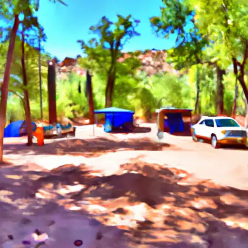 Rose Creek
|
||
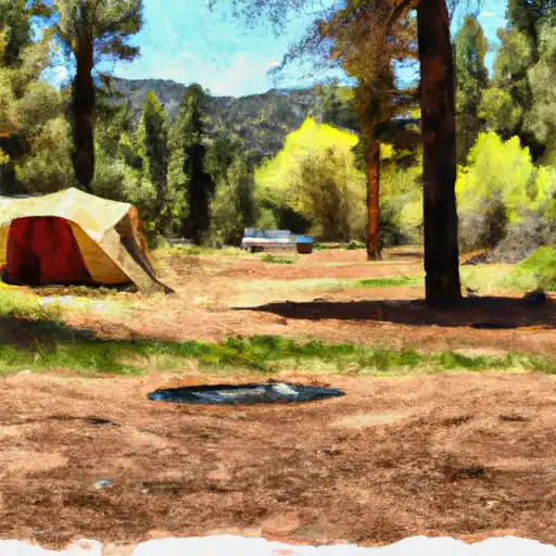 Sawmill Flats
|
||
 Reynolds Creek Group Campground
|
||
 Reynolds Creek Campground
|
River Runs
-
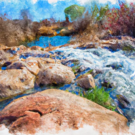 Rock Springs To Confluence With Cottonwood Wash
-
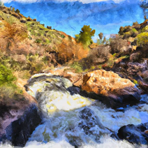 Workman Falls To Salome Wilderness Boundary
-
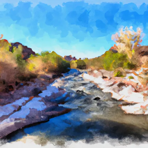 Salome Wilderness Boundary To Confluence With Salome Creek
-
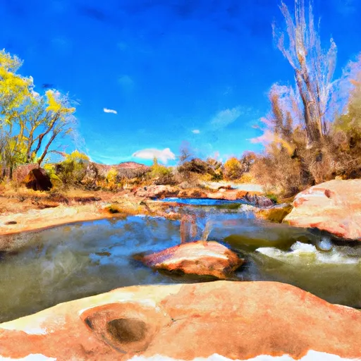 Billy Lawrence Creek To North Property Boundary Of Ellison Ranch
-
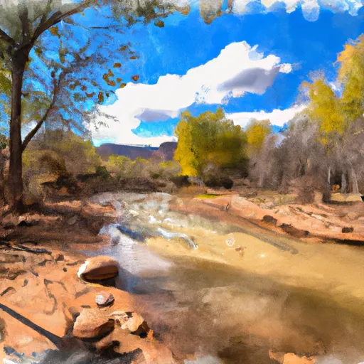 Confluence With Turkey Creek To Forest Road 60 Just Above Tin Hat Ranch
-
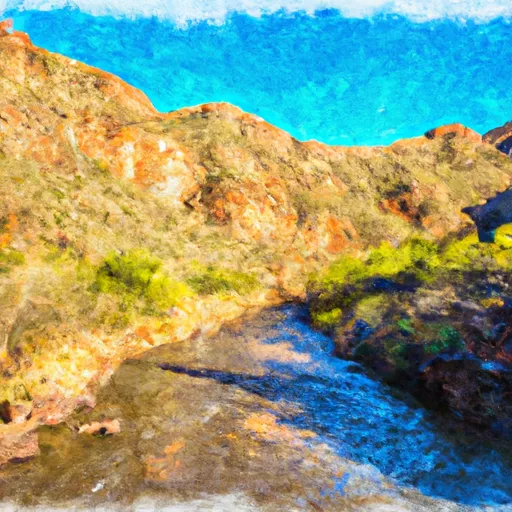 West Boundary Of Fort Apache Indian Reservation To Southwest Boundary Of Salt River Canyon Wilderness


