2026-02-18T19:00:00-07:00
* WHAT...Southwest winds 30 to 40 mph with gusts up to 60 to 75 mph. * WHERE...Little Colorado River Valley, Painted Desert, and White Mountains. * WHEN...Until 7 PM MST this evening. * IMPACTS...Damaging winds will blow down trees and power lines. Widespread power outages are expected. Travel will be difficult, especially for high profile vehicles.
Summary
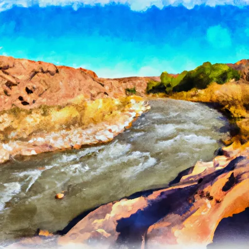
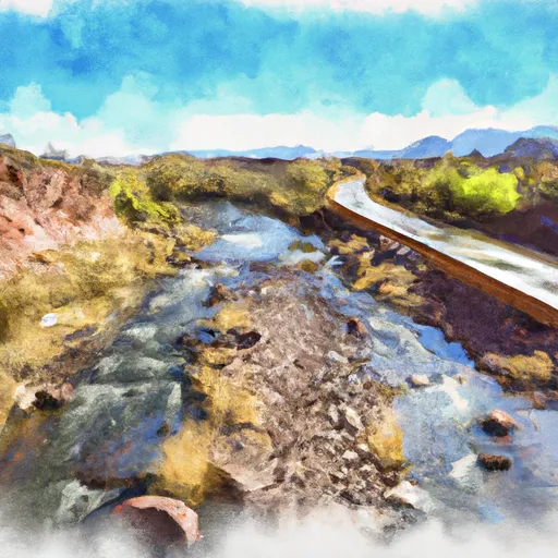
The ideal streamflow range for this river is between 200-400 cfs, which typically occurs from late May to early June. The class rating of the river ranges from Class III to Class IV, offering moderate to difficult rapids and obstacles.
The segment mileage of the river run is approximately 30 miles, beginning at Sheep Crossing and ending at the confluence of the Little Colorado River. The river features several notable rapids, including House Rock Rapid, which is a Class IV rapid with a steep drop and technical maneuvering required. Other notable rapids include Black Falls and Blue Ridge Rapid.
There are specific regulations that must be followed when navigating the South Fork Little Colorado River. Permits are required for all river trips, and a limit of two trips per person per year is enforced. Additionally, all visitors must follow Leave No Trace principles and pack out all trash and waste.
Overall, the South Fork Little Colorado River provides an exciting and challenging whitewater experience for experienced kayakers and rafters. It is important to follow all regulations and safety protocols to ensure a successful and enjoyable trip.
°F
°F
mph
Wind
%
Humidity
15-Day Weather Outlook
River Run Details
| Last Updated | 2021-01-02 |
| River Levels | 1 cfs (1.26 ft) |
| Percent of Normal | 14% |
| Status | |
| Class Level | iii-iv |
| Elevation | ft |
| Streamflow Discharge | cfs |
| Gauge Height | ft |
| Reporting Streamgage | USGS 09383300 |
5-Day Hourly Forecast Detail
Nearby Streamflow Levels
Area Campgrounds
| Location | Reservations | Toilets |
|---|---|---|
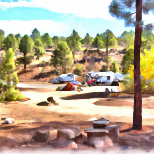 Rolfe C. Hoyer
|
||
 Rolfe C. Hoyer Campground
|
||
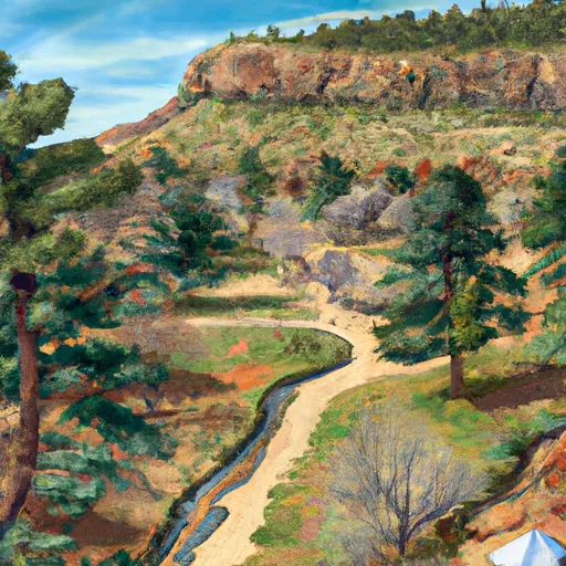 Benny Creek
|
||
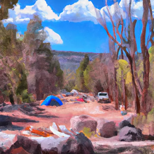 Benny Creek Campground
|
||
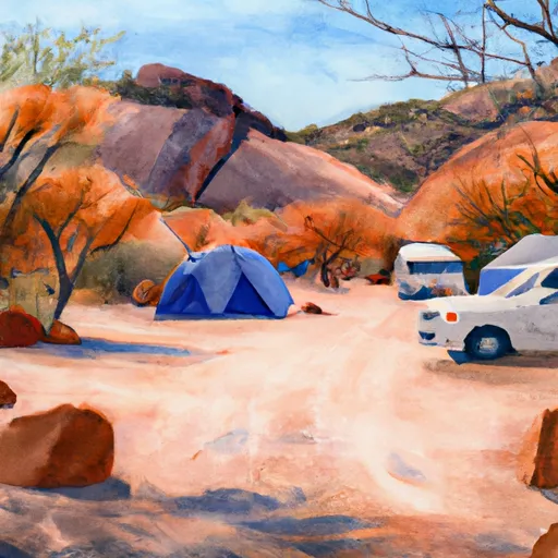 Winn Campground
|
||
 Winn
Winn
|


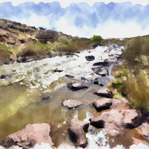
 South Fork Little Colorado River
 State Highway 261 To 1/2 Mile Above Crosby Crossing
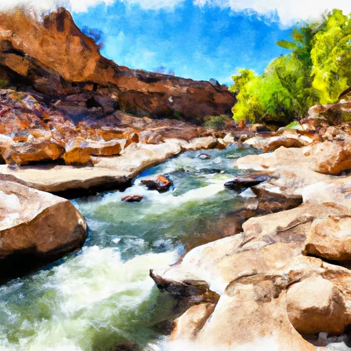
 1/2 Mile Above Crosby Crossing To 1/2 Mile Below Crosby Crossing
 West Fork Little Colorado River
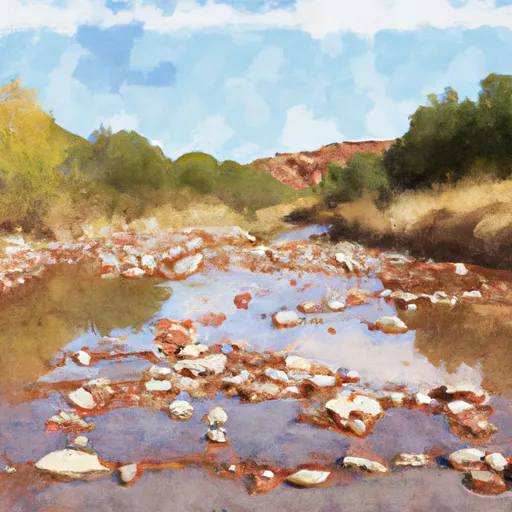 1/2 Mile Below Crosby Crossing To Confluence With Boneyard Creek
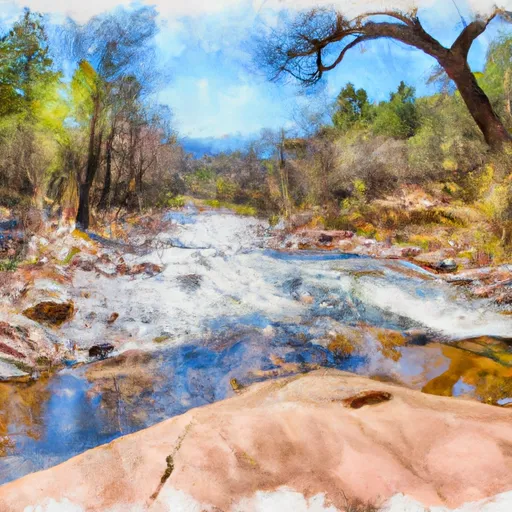 Forest Boundary To 0.15 Miles Below Forest Road 116
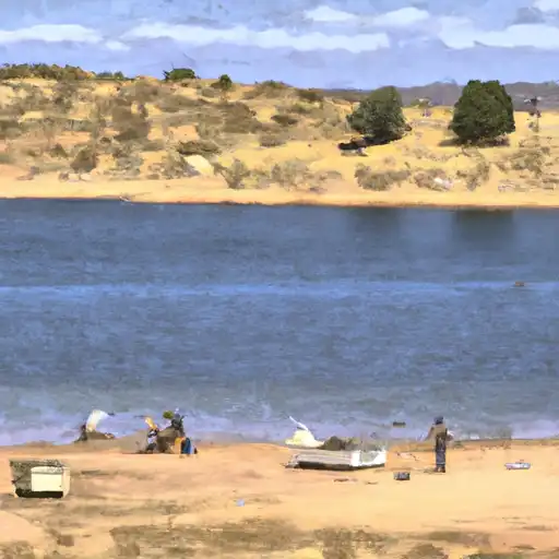 Bunch Reservoir
 Crescent Lake Point Area Fishing Site
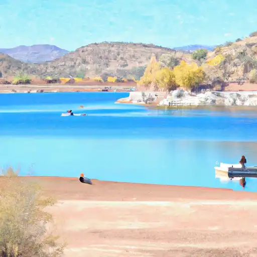 Lee Valley Reservoir
 Big Lake Dam Parking Fishing Site