Summary
The ideal streamflow range for this section is between 400 and 1200 cubic feet per second (cfs). The class rating for this segment is between II and III, making it suitable for intermediate paddlers. The segment covers a total distance of approximately 10 miles.
The whitewater rapids and obstacles on this section of the river include several Class II rapids, such as Pinball and Double Drop, as well as a few Class III rapids, such as the infamous Diamond Bluff Rapid. The Diamond Bluff Rapid is a challenging and technical rapid that requires precision paddling and quick decision-making.
There are several regulations that must be followed when paddling this section of the river. All paddlers must wear a personal flotation device (PFD) and helmets at all times while on the water. Additionally, camping and campfires are only allowed in designated areas, and all trash must be packed out.
In conclusion, the Headwaters Sec 2, T1N, R20W to Sec 7, T1N, R19W segment of the Whitewater River in Arkansas is a challenging and exciting destination for whitewater kayaking and canoeing. With its ideal streamflow range, class rating, and specific rapids and obstacles, this section of the river offers a thrilling adventure for intermediate paddlers. However, it is important to follow all regulations and safety guidelines to ensure a safe and enjoyable experience.
°F
°F
mph
Wind
%
Humidity
15-Day Weather Outlook
River Run Details
| Last Updated | 2026-02-07 |
| River Levels | 3 cfs (3.18 ft) |
| Percent of Normal | 27% |
| Status | |
| Class Level | ii-iii |
| Elevation | ft |
| Streamflow Discharge | cfs |
| Gauge Height | ft |
| Reporting Streamgage | USGS 07362587 |
5-Day Hourly Forecast Detail
Nearby Streamflow Levels
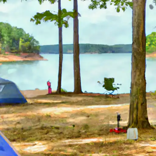
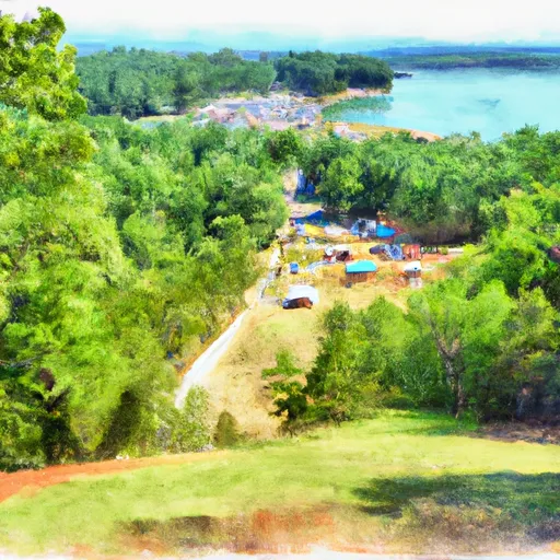
Area Campgrounds
| Location | Reservations | Toilets |
|---|---|---|
 South Fourche Recreation Area
|
||
 Lena Landing - Lake Ouachita
|
||
 Lake Ouachita State Park
|


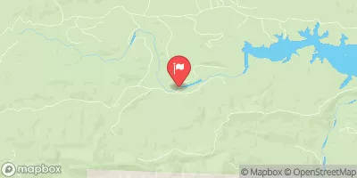
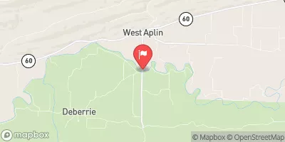
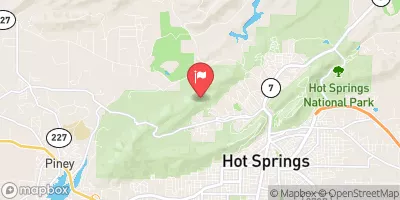
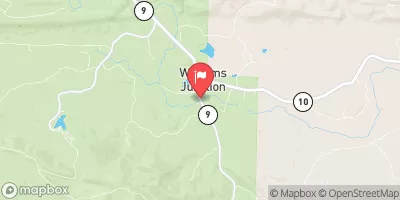
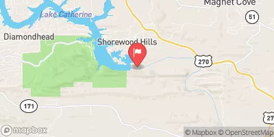
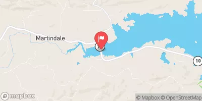
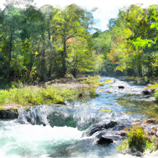 Headwaters Sec 2, T1N, R20W To Sec 7, T1N, R19W
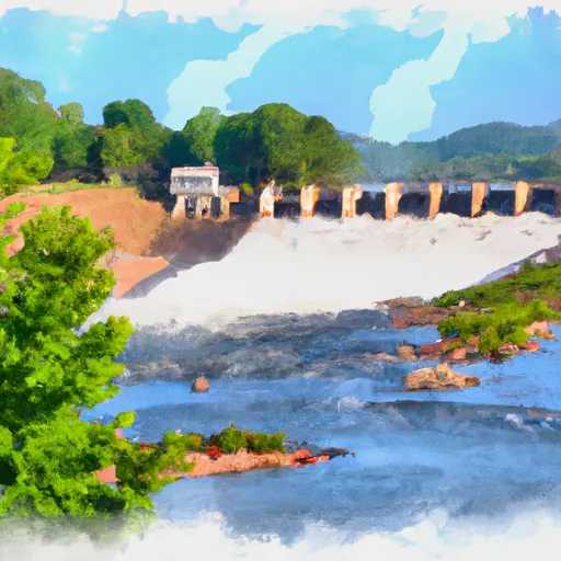 Lake Winona Dam To Southern Line Of Sec 16, T2N, R17W
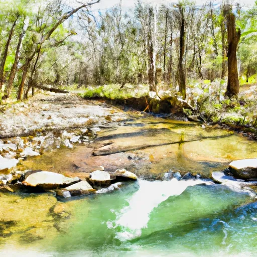 Headwaters Sec 2, T2N, R18W To Forest Road 132C
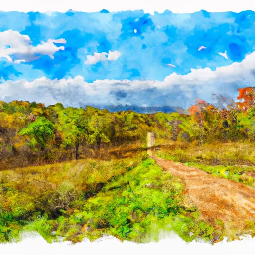 Oak Mountain National Game Refuge
 Flatside Wilderness
 Lake Ouachita State Park