Summary
The ideal streamflow range for this section is between 300 and 1000 cubic feet per second (cfs), with 500 cfs being the optimal level for a thrilling run.
The segment mileage of this section is around 8 miles, with a class rating of II-III rapids, making it suitable for intermediate-level kayakers and rafters. The run includes several notable rapids such as "Widowmaker," "Big Drop," and "Twin Falls." Paddlers should be prepared to navigate through technical drops, boulder gardens, and narrow canyons.
As for regulations, all participants must have a valid Arkansas Game and Fish Commission fishing license, and life jackets are mandatory for all on the river. Additionally, camping is only allowed in designated areas, with a maximum stay of 14 days.
Overall, Headwaters Section 2 of the Whitewater River Run is a thrilling and challenging run that requires intermediate-level skills and proper safety gear. It's important to check the streamflow levels before embarking on this adventure, and to adhere to all regulations to ensure a safe and enjoyable experience.
°F
°F
mph
Wind
%
Humidity
15-Day Weather Outlook
River Run Details
| Last Updated | 2026-02-07 |
| River Levels | 3 cfs (3.18 ft) |
| Percent of Normal | 27% |
| Status | |
| Class Level | None |
| Elevation | ft |
| Streamflow Discharge | cfs |
| Gauge Height | ft |
| Reporting Streamgage | USGS 07362587 |
5-Day Hourly Forecast Detail
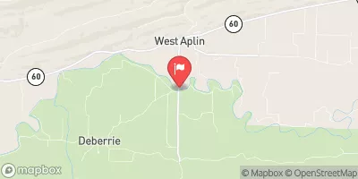
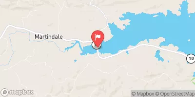
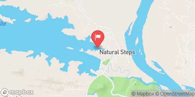
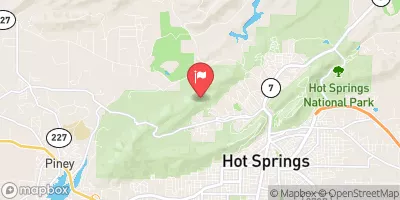
Nearby Streamflow Levels
River Runs
-
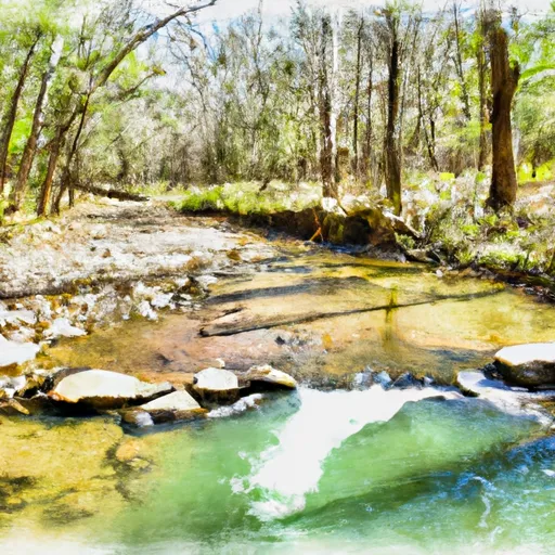 Headwaters Sec 2, T2N, R18W To Forest Road 132C
-
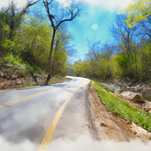 Forest Road 132C To Forest Raod 179
-
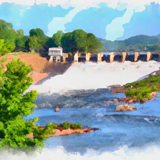 Lake Winona Dam To Southern Line Of Sec 16, T2N, R17W
-
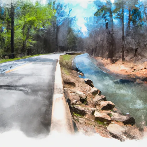 Forest Road 179 To East Line Of Nw 1/4 Sec 22, T2N, R17W
-
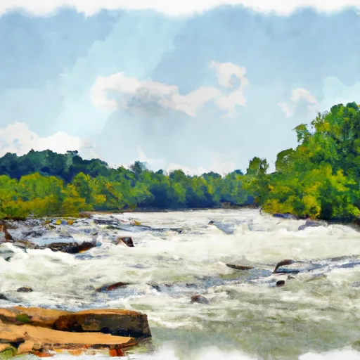 East Line Of Nw 1/4, Sec 22, T2N, R17W To West Line Of Sec 26, T2N, R17W
-
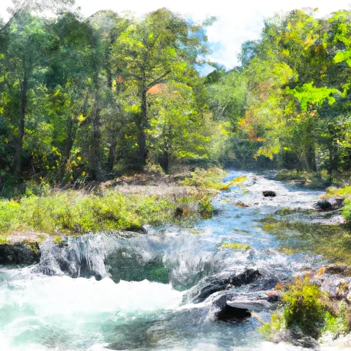 Headwaters Sec 2, T1N, R20W To Sec 7, T1N, R19W


 Flatside Wilderness
 Harris Brake Wildlife Management Area
 Iron Spring Roadside Park
 Lake Sylvia
 Fourche Lafave River
 Harris Brake Lake