Summary
The ideal streamflow range for this river is typically between 1000 and 5000 cfs, with higher flows possible during the spring snowmelt. The river is rated as a class III-IV, meaning that it is suitable for experienced boaters with strong technical skills.
The segment of the river that runs from the headwaters near the Tuolumne and Mariposa County lines to the western boundary of Yosemite National Park covers a distance of approximately 20 miles. Along this stretch of river, boaters will encounter a number of challenging rapids and obstacles, including tight chutes, steep drops, and powerful waves.
In order to maintain the safety and environmental integrity of the area, there are specific regulations in place for boaters using the Whitewater River Run. Permits are required for all commercial rafting trips, and private boaters must also obtain a permit before launching. Additionally, all boaters must adhere to strict Leave No Trace principles in order to minimize their impact on the surrounding ecosystem.
Overall, the Whitewater River Run is an exciting and challenging destination for experienced boaters looking for a thrilling adventure in the great outdoors. However, it is important to approach this area with caution and respect in order to ensure that it remains accessible and enjoyable for future generations.
°F
°F
mph
Wind
%
Humidity
15-Day Weather Outlook
River Run Details
| Last Updated | 2026-02-20 |
| River Levels | 5130 cfs (17.31 ft) |
| Percent of Normal | 134% |
| Status | |
| Class Level | iii-iv |
| Elevation | ft |
| Run Length | 18.0 Mi |
| Streamflow Discharge | cfs |
| Gauge Height | ft |
| Reporting Streamgage | USGS 11274790 |


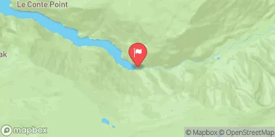
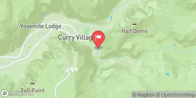
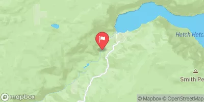
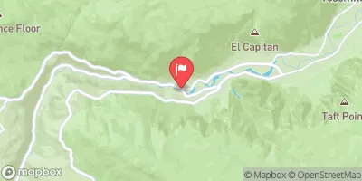
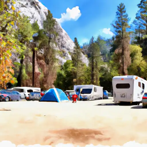 White Wolf - Yosemite National Park
 White Wolf
 Yosemite Creek - Yosemite National Park
 Yosemite Creek Campground
 Yosemite Creek
 Porcupine Flat Campground
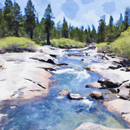 Headwaters Near The Tuolumne And Mariposa County Lines To Western Boundary Of Yosemite National Park