Summary
The ideal streamflow range for this section of river is between 300 and 600 cubic feet per second (cfs). It is rated as a Class III-IV run, with some sections bordering on Class V. The segment spans a distance of approximately 10 miles.
Some of the specific rapids and obstacles that paddlers can expect to encounter on this section of the river include the "Frog Rock" rapid, "Vortex," "Boulder Choke," and "The Narrows." Paddlers should also be prepared for steep drops, tight chutes, and potentially hazardous undercuts.
There are specific regulations in place for the Whitewater River Run from Headwaters to Bear Gulch. Paddlers are required to wear personal flotation devices at all times while on the river, and kayakers and canoeists must wear helmets. Additionally, camping and fires are prohibited along the riverbanks, and all trash must be carried out.
°F
°F
mph
Wind
%
Humidity
15-Day Weather Outlook
River Run Details
| Last Updated | 2026-02-07 |
| River Levels | 299 cfs (1.43 ft) |
| Percent of Normal | 44% |
| Status | |
| Class Level | iii-iv |
| Elevation | ft |
| Streamflow Discharge | cfs |
| Gauge Height | ft |
| Reporting Streamgage | USGS 11390000 |
5-Day Hourly Forecast Detail
Nearby Streamflow Levels
 Spanish C A Quincy Ca
|
108cfs |
 N Yuba R Bl Goodyears Bar Ca
|
480cfs |
 Spanish C Ab Blackhawk C At Keddie Ca
|
202cfs |
 Butte C Nr Chico Ca
|
612cfs |
 Deer C Nr Smartville Ca
|
301cfs |
 Deer C Nr Vina Ca
|
490cfs |
Area Campgrounds
| Location | Reservations | Toilets |
|---|---|---|
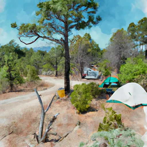 Little North Fork Campground
|
||
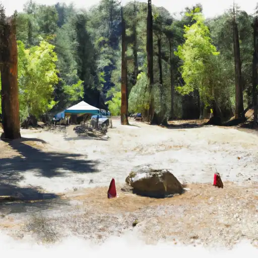 Little North Fork
|
||
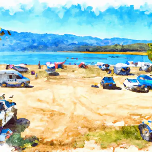 Milsap Bar
|
||
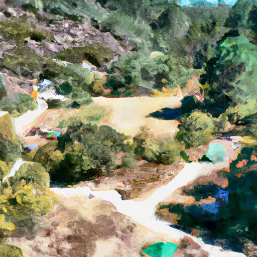 Milsap Bar Campground
|
||
 Rogers Cow Camp
|
||
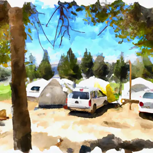 Rogers Cow Camp (Family )
|


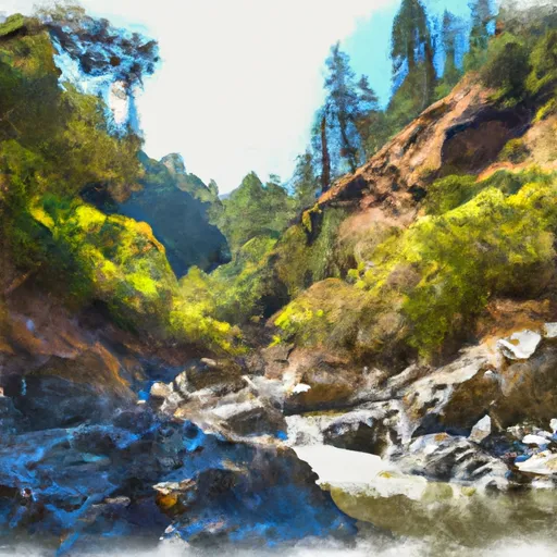
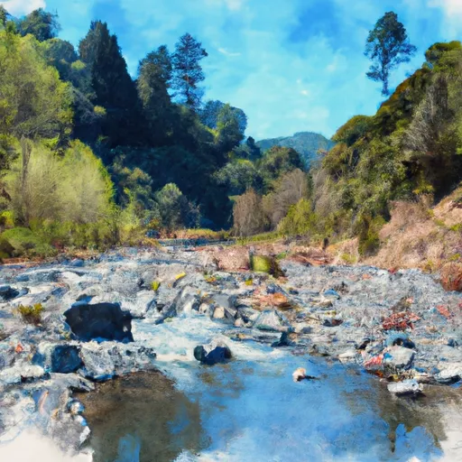 Headwaters To Bear Gulch
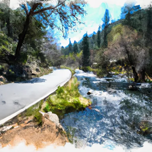
 Bear Gulch To Confluence With Middle Fork Feather Wsr
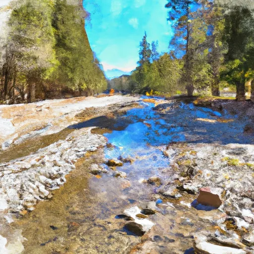
 Forest Road 94 To Confluence With Middle Fork Feather Wsr
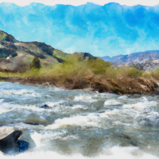
 Headwaters To Forest Road 94
 Nelsons Crossing To Confluence With Middle Fork Feather Wsr
 Cresta Dam To Poe Reservoir (Camp Creek)