Summary
This segment covers 18 miles and is rated as class IV-V, with some of the most challenging rapids being the Staircase and the infamous Chamberlain Falls.
The ideal streamflow range for this run is between 800-1,500 cubic feet per second (cfs), although it can be run at higher flows with caution. It is not recommended to run this section at flows below 600 cfs, as it can become too rocky and difficult to navigate.
The area is regulated by the Bureau of Land Management and there are specific regulations in place to protect the environment and ensure public safety. These regulations include a permit requirement for commercial outfitters, a ban on alcohol and drugs, and limitations on group size.
Overall, the Hell Hole Dam to Ellicotts Bridge run is a thrilling and challenging whitewater experience that should only be attempted by experienced paddlers with the appropriate equipment and safety gear. It is important to check the current streamflow, weather conditions, and local regulations before embarking on this adventure.
°F
°F
mph
Wind
%
Humidity
15-Day Weather Outlook
River Run Details
| Last Updated | 2026-02-07 |
| River Levels | 112 cfs (2.26 ft) |
| Percent of Normal | 68% |
| Status | |
| Class Level | iv-v |
| Elevation | ft |
| Streamflow Discharge | cfs |
| Gauge Height | ft |
| Reporting Streamgage | USGS 10336645 |
5-Day Hourly Forecast Detail
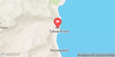
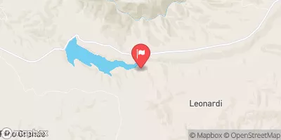
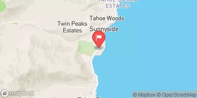
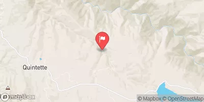
Nearby Streamflow Levels
Area Campgrounds
| Location | Reservations | Toilets |
|---|---|---|
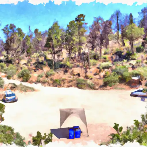 Hell Hole
|
||
 Hell Hole Campground
|
||
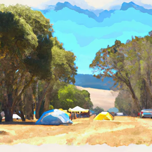 Big Meadows Campground
|
||
 Middle Meadows Group Campground
|
||
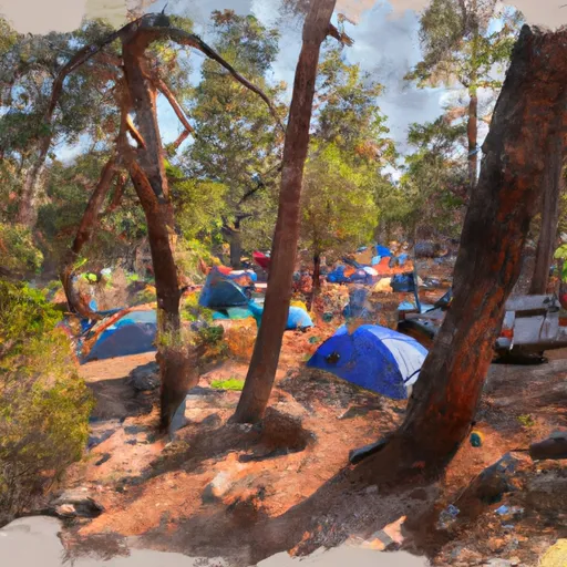 Upper Hell Hole Campground
|
||
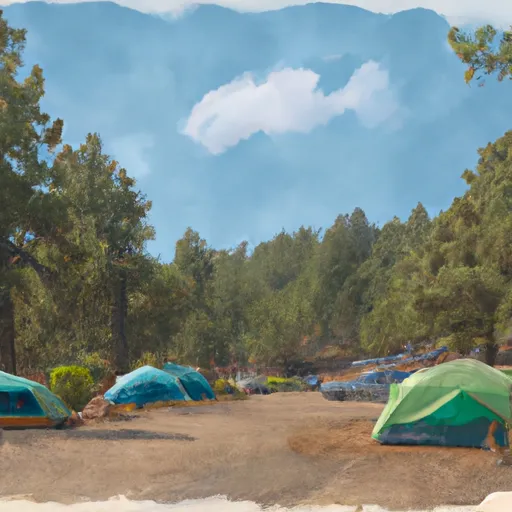 French Meadows Campground
|


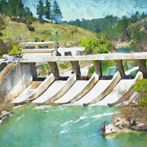 Hell Hole Dam To Ellicotts Bridge
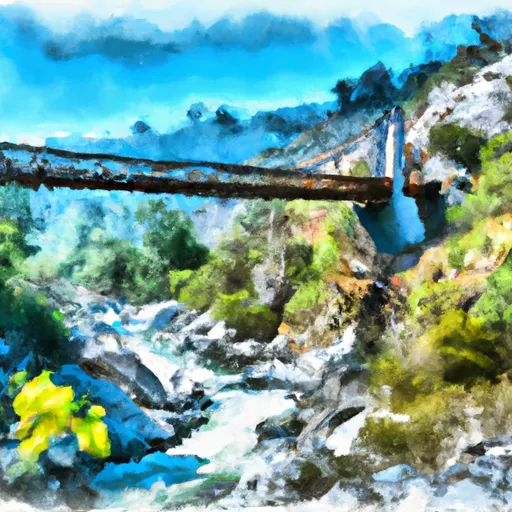 Ellicots Bridge To Big Grizzly Canyon
 Interbay to Oxbow (End of the World)