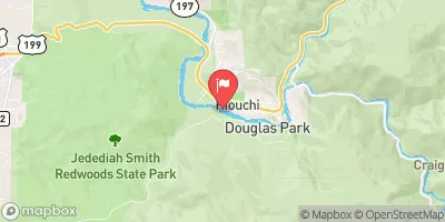
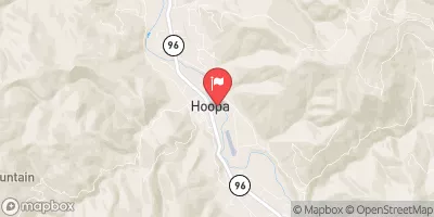
NW 1/4 SEC 23, T14N, R4E TO NEAR CENTER OF SEC 3, T12N, R3E

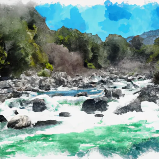
River Runs Kayaking Whitewater
November 21, 2024
Flood Watch
National Weather Service Until 2024-11-22T05:45:00-08:00
A major atmospheric river storm is forecast to bring periods of heavy rain and the potential for life threatening flooding today through Friday. Small creeks and streams will continue to rapidly rise and may come out of their banks. The potential for extensive river flooding will increase tonight through Friday. Rivers will slowly drain Friday night and may continue to remain above flood stage through the day on Saturday, particularly on the Eel River at Fernbridge. * WHAT...Flooding caused by excessive rainfall continues to be possible. * WHERE...A portion of northwest California, including the Northern Humboldt Coast, Northern Humboldt Interior, Southern Humboldt Interior and Southwestern Humboldt. * WHEN...Through Friday evening. * IMPACTS...There will be an increased risk of rock and land slides along roadways. Excessive runoff may result in flooding of rivers, creeks, streams, and other low-lying and flood-prone locations. Creeks and streams may rise out of their banks. Flooding may occur in poor drainage and urban areas. Low-water crossings may be flooded. Storm drains and ditches may become clogged with debris. Extensive street flooding and flooding of creeks and rivers are possible. Area creeks and streams are running high and could flood with more heavy rain. * ADDITIONAL DETAILS... - Additional rainfall of 3 to 7 inches is expected today through Friday evening. Locally higher amounts of 10 to 12 inches can be expected in the King Range. The heaviest rain is expected today through early Friday morning. - http://www.weather.gov/safety/flood

SUMMARY

Last Updated 2024-11-19
River Levels 12300 cfs (11.78 ft)
Percent of Normal 242%
Status
Class Level None
Elevation ft
Streamflow Discharge cfs
Gauge Height ft
Reporting Streamgage
USGS 11530500

Weather Forecast

°F

°F

mph

Windspeed

%

Humidity


16-Day Long Term Forecast
       

Get Unparalelled Insights

Explore the Map

Whether you're planning your next ski trip or tracking stream flows for an upcoming rafting expedition, our map offers instant access to essential conditions, forecasts, and trends.

Watershed River Levels

47

Cubic Feet Per Second

846

Cubic Feet Per Second

150

Cubic Feet Per Second

3980

Cubic Feet Per Second

Point of Interest

Cape Sebastian State Scenic Corridor

Cape Sebastian State Scenic Corridor

Cape Sebastian State Scenic Corridor is a beautiful state park located on the southern coast of Oregon. The park offers stunning views of the Pacific Ocean, as well as opportunities for hiking, picnicking, and wildlife watching. One of the main reasons to visit Cape Sebastian is to experience the natural beauty of the Oregon coast. The park boasts a number of scenic viewpoints where visitors can take in panoramic views of the ocean and surrounding landscape. Hikers can also explore a network of trails that wind through the park's forests and along the coastline. One of the most popular points ...