Summary
The ideal streamflow range for this run is 100-400 cfs, with 200 cfs being the most suitable. The class rating ranges from II-IV, making it a challenging run that requires advanced skills.
The segment mileage for this run is 8.5 miles. The river rapids and obstacles include boulder gardens, tight chutes, and drops, making the run exciting and adventurous. The rapids are mostly technical, requiring precise navigation and good boat control.
There are specific regulations to the area that paddlers should abide by. These include obtaining a permit for overnight camping, camping only in designated areas, and carrying out all trash. Additionally, paddlers are required to wear a personal flotation device and a helmet while on the river.
In conclusion, the whitewater river run from Headwaters to Confluence with Kern River in California is a challenging and exhilarating adventure for experienced paddlers. The ideal streamflow range is 100-400 cfs, with class II-IV rapids over 8.5 miles. Paddlers should familiarize themselves with specific regulations to the area, including obtaining a permit for overnight camping and wearing protective gear while on the river.
°F
°F
mph
Wind
%
Humidity
15-Day Weather Outlook
River Run Details
| Last Updated | 2026-02-07 |
| River Levels | 128 cfs (8.2 ft) |
| Percent of Normal | 84% |
| Status | |
| Class Level | ii-iv |
| Elevation | ft |
| Streamflow Discharge | cfs |
| Gauge Height | ft |
| Reporting Streamgage | USGS 11206820 |


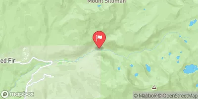
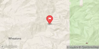
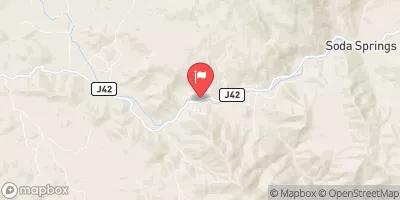
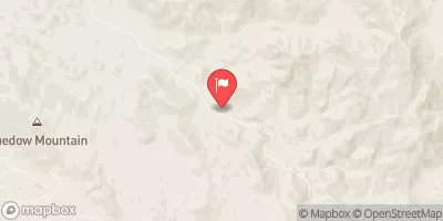
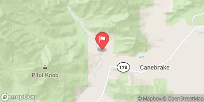
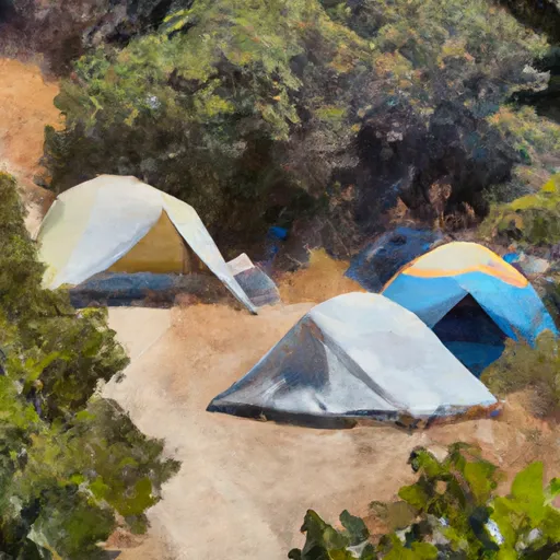 corral campsite (4 tents)
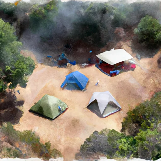 campsite (3 tents)
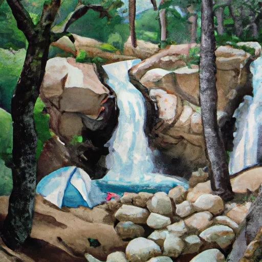 waterfall for two campsite (1 tent)
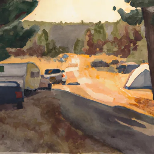 middle of the road campsite (1-2 tents)
 riverside campsite (3-4 tents)
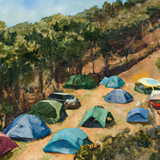 mid peninsula campsite one (2-3 tents)
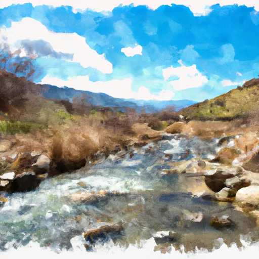 Headwaters To Confluence With Kern River
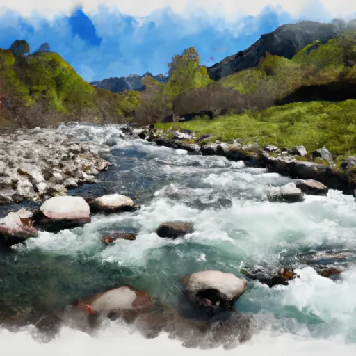 Nf Boundary To Table Meadows Creek