Summary
The ideal streamflow range for this run is between 400-800 cfs, which typically occurs in the spring months of April-June.
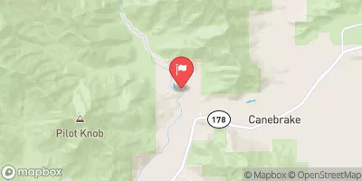
This segment covers a distance of approximately 4 miles and includes several challenging rapids, such as Abbot Creek Falls, which is a steep 15-foot waterfall that requires precise navigation. Other notable rapids include The Womb, The Birth Canal, and The Squeeze.
Due to the challenging nature of this run, it is important for participants to be properly equipped with safety gear and have experience navigating Class IV-V rapids. Additionally, a permit is required to access this section of the river, and camping is only allowed in designated areas.
Overall, the Whitewater River run Nf Boundary To Table Meadows Creek offers a thrilling experience for experienced kayakers and rafters, but it is important to approach it with caution and proper preparation.
°F
°F
mph
Wind
%
Humidity
15-Day Weather Outlook
River Run Details
| Last Updated | 2026-02-07 |
| River Levels | 43 cfs (3.39 ft) |
| Percent of Normal | 88% |
| Status | |
| Class Level | iv-v |
| Elevation | ft |
| Streamflow Discharge | cfs |
| Gauge Height | ft |
| Reporting Streamgage | USGS 11203580 |
5-Day Hourly Forecast Detail
Nearby Streamflow Levels
Area Campgrounds
| Location | Reservations | Toilets |
|---|---|---|
 Moses Gulch - State Forest
|
||
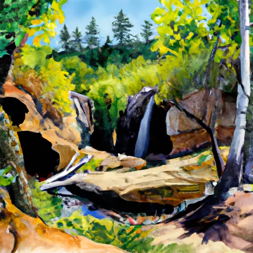 Hidden Falls - State Forest
|
||
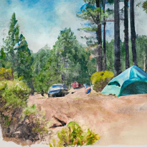 Shake Camp - State Forest
|
||
 Belknap
|
||
 Quaking Aspen Campground
|
||
 Quaking Aspen Group Campground
|
River Runs
-
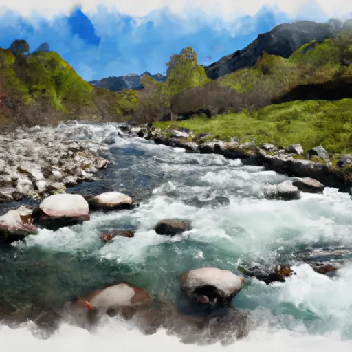 Nf Boundary To Table Meadows Creek
-
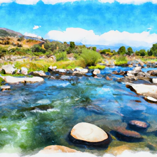 Table Meadow Creek To Kern River
-
 Outlet Of Green Meadows North Of The Windy Gap And Windy Ridges (Boundary Extend 0.25 Mile On Each Side Of River) To Bridge Above South Fork Campground
-
 Nf Boundary To Camp Wishon
-
 Headwaters To Confluence With Kern River
-
 Camp Wishon To Confluence With Middle Fork Tule River


 Wilderness Sequoia-Kings Canyon
 Wilderness Golden Trout
 Kings Canyon National Park - Big Stump Entrance
 Sequoia National Park