2026-02-22T16:00:00-08:00
* WHAT...Snow expected above 4500 feet in Siskiyou County. Total snow accumulations 3 to 6 inches. Winds gusting as high as 60 mph over high and exposed terrain. * WHERE...Above 4500 feet in Siskiyou County Including the locations of...Bray, Tennant. This also includes the following passes or notable locations... Dead Horse Summit on State Highway 89 at 4489 ft. Etna Summit on Sawyers Bar Rd at 5950 ft. Mt. Shasta ski park highway around 5400 ft. Grass Lake at Mt. Hebron at 5291 ft. Bunny Flat on Everitt Memorial highway at 6900 ft. * WHEN...From 10 PM this evening to 4 PM PST Sunday. * IMPACTS...Travel may be very difficult to impossible. Strong winds could cause tree damage and low visibility. * ADDITIONAL DETAILS... Visit weather.gov/mfr/winter for additional snow probabilities
Summary
The ideal streamflow range for this segment is between 500 and 2,000 cubic feet per second (cfs).
The class rating for this section of the river ranges from Class II to Class IV, with Class IV rapids being present in certain areas. The segment is approximately 15 miles long and features numerous rapids and obstacles such as boulder gardens and steep drops.
Specific regulations in the area include the use of personal flotation devices (PFDs) and helmets for all participants on the river. Additionally, boating is only permitted during daylight hours.
In summary, the Unnamed Tributary in Sec 32 to Confluence with Klamath River is a challenging whitewater river run with a recommended streamflow range of 500-2,000 cfs. The segment is approximately 15 miles long and features numerous rapids and obstacles, and specific regulations are in place to ensure safe and responsible boating.
°F
°F
mph
Wind
%
Humidity
15-Day Weather Outlook
River Run Details
| Last Updated | 2026-02-07 |
| River Levels | 2020 cfs (3.96 ft) |
| Percent of Normal | 34% |
| Status | |
| Class Level | ii-iv |
| Elevation | ft |
| Streamflow Discharge | cfs |
| Gauge Height | ft |
| Reporting Streamgage | USGS 11522500 |
5-Day Hourly Forecast Detail
Nearby Streamflow Levels
 Salmon R A Somes Bar Ca
|
1000cfs |
 Klamath R A Orleans
|
4590cfs |
 Indian C Nr Happy Camp Ca
|
205cfs |
 Klamath R Nr Klamath Ca
|
10200cfs |
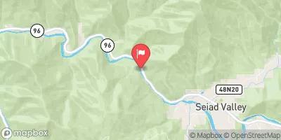 Klamath R Nr Seiad Valley Ca
|
2080cfs |
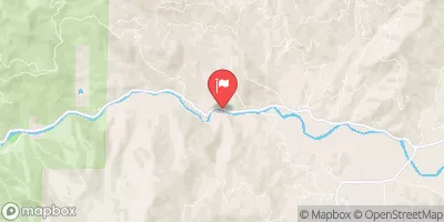 Scott R Nr Fort Jones Ca
|
412cfs |
Area Campgrounds
| Location | Reservations | Toilets |
|---|---|---|
 Dillon
|
||
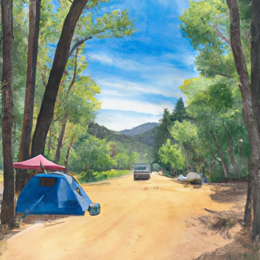 Dillon Creek Campground
|
||
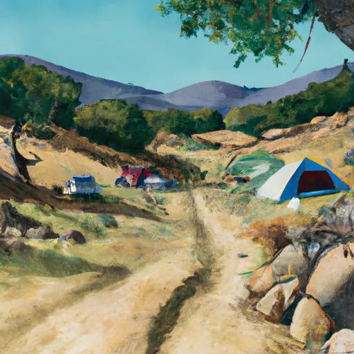 Elk Hole Camp
|
||
 Beans Camp
|
River Runs
-
 Unnamed Trib In Sec 32 To Confluence With Klamath River
-
 Headwaters In Siskiyou Wilderness To Unnamed Trib In Sec 32, T14N, R6E
-
 North Fork Dillon Creek Headwaters To Confluence With Dillon Creek
-
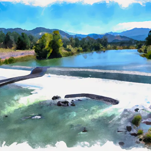 From Toe Of Dam On West End Of Ukonom Lake To Confluence With Klamath River
-
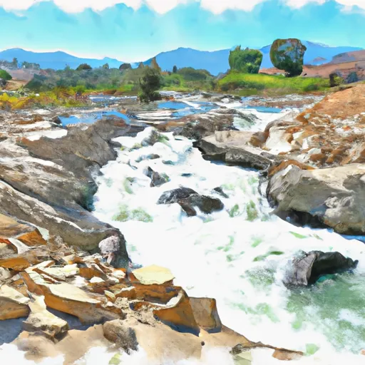 Confluence With Ten Mile Creek To Confluence With Daggett Creek
-
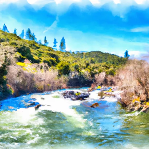 Confluence With Daggett Creek To Confluence With Klamath River


 U. Dillon Creek River Access