Summary
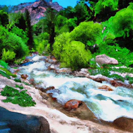
The ideal streamflow range for this run is between 400-800 cubic feet per second (cfs), which is usually available from March through May. The river is rated as Class III, which means it has moderate rapids and requires some experience to navigate.
The segment mileage for this run is approximately 6 miles and features several exciting rapids and obstacles. Some of the notable rapids include Upper and Lower Jamison, Oak Flat, and Chinese Wall. These rapids offer a range of challenges, including drops, chutes, and boulder gardens.
The Little Jamison Creek Headwaters To State Park is located in a protected wilderness area, and there are specific regulations that visitors must adhere to. These include obtaining a permit before entering the area, following Leave No Trace principles, and respecting the wildlife and natural resources in the area. Additionally, visitors must ensure that they have the necessary equipment and skills to safely navigate the river.
Overall, the Little Jamison Creek Headwaters To State Park is a thrilling whitewater river run that offers a range of challenges for experienced paddlers. It is important to check the streamflow conditions before attempting this run and to ensure that you have the necessary skills and equipment to navigate the rapids safely.
°F
°F
mph
Wind
%
Humidity
15-Day Weather Outlook
River Run Details
| Last Updated | 2026-02-07 |
| River Levels | 2740 cfs (7.21 ft) |
| Percent of Normal | 75% |
| Status | |
| Class Level | iii |
| Elevation | ft |
| Streamflow Discharge | cfs |
| Gauge Height | ft |
| Reporting Streamgage | USGS 11413000 |
5-Day Hourly Forecast Detail
Nearby Streamflow Levels
Area Campgrounds
| Location | Reservations | Toilets |
|---|---|---|
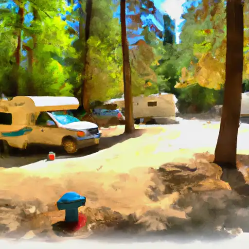 Plumas - Eureka State Park
|
||
 Lakes Basin Group Campground
|
||
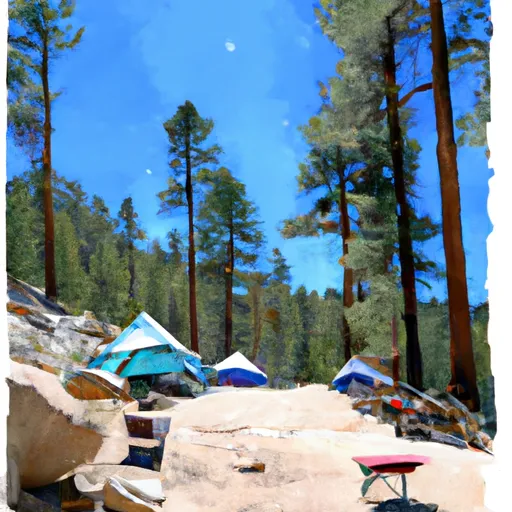 Lakes Basin Campground
|
||
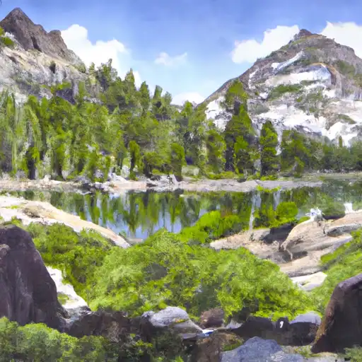 Lakes Basin .
|
||
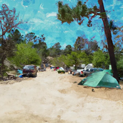 Ross Campground
|
||
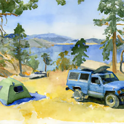 Gold Lake 4x4
|


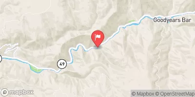
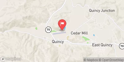
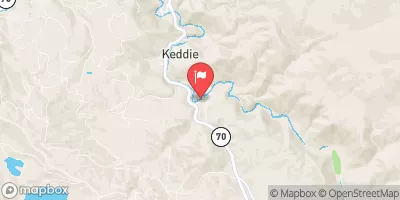
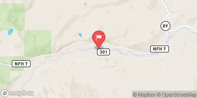
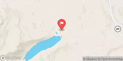
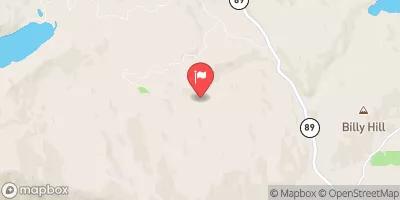
 Little Jamison Creek Headwaters To State Park
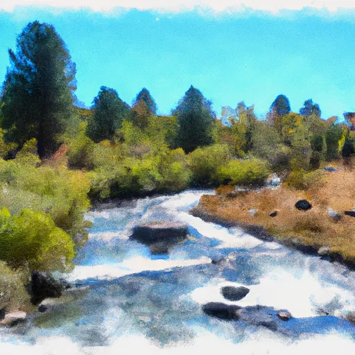 Headwaters To State Park
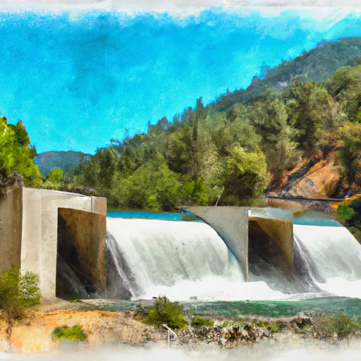 Gold Lake Dam To Falls
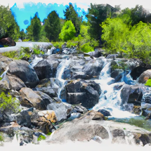 Falls To Gold Lake Highway
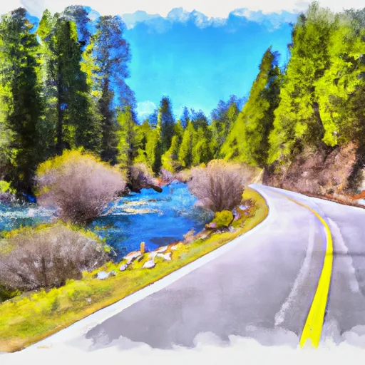 Gold Lake Highway To Nf Boundary
 Headwaters Of North Fork Canyon Creek (Sec 6, T21N, R11E) To Confluence With East Fork Canyon Creek