Summary
The ideal streamflow range for this river is between 200 and 800 cfs. At higher flows, the river becomes much more challenging and dangerous, while lower flows may result in more obstacles and difficult to navigate stretches.
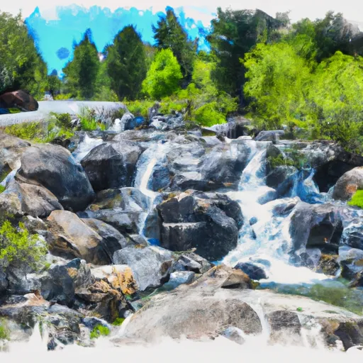
The class rating for this river ranges from Class II to Class IV, with some sections featuring challenging rapids and obstacles. The segment mileage for this run is approximately 11 miles, starting at the headwaters and ending at the State Park.
There are specific rapids and obstacles on this run, including the "Headwaters Rapid," which is a Class IV rapid that requires expert navigation. Other notable rapids include "The Narrows," "Devil's Slide," and "Gibralter."
There are specific regulations in place for this area, including permits required for overnight camping and a strict pack-in, pack-out policy to protect the natural environment. It is also important for adventurers to follow Leave No Trace principles and always wear proper safety equipment, including helmets and life jackets.
°F
°F
mph
Wind
%
Humidity
15-Day Weather Outlook
River Run Details
| Last Updated | 2026-02-07 |
| River Levels | 2740 cfs (7.21 ft) |
| Percent of Normal | 75% |
| Status | |
| Class Level | ii-iv |
| Elevation | ft |
| Streamflow Discharge | cfs |
| Gauge Height | ft |
| Reporting Streamgage | USGS 11413000 |
5-Day Hourly Forecast Detail
Nearby Streamflow Levels
Area Campgrounds
| Location | Reservations | Toilets |
|---|---|---|
 Ross Campground
|
||
 Plumas - Eureka State Park
|
||
 Lakes Basin Group Campground
|
||
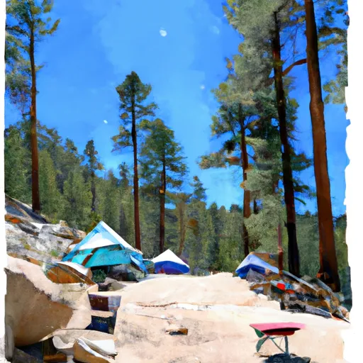 Lakes Basin Campground
|
||
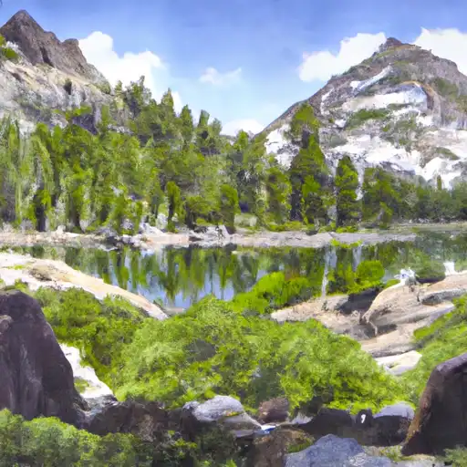 Lakes Basin .
|
||
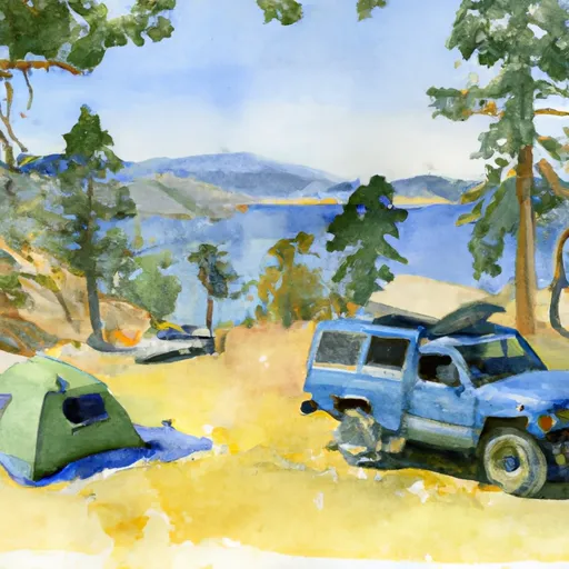 Gold Lake 4x4
|
River Runs
-
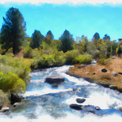 Headwaters To State Park
-
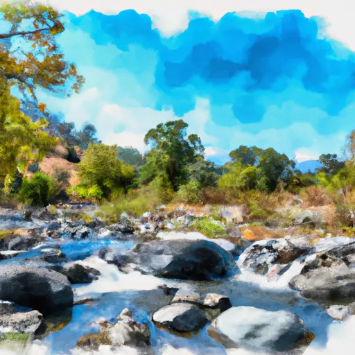 Little Jamison Creek Headwaters To State Park
-
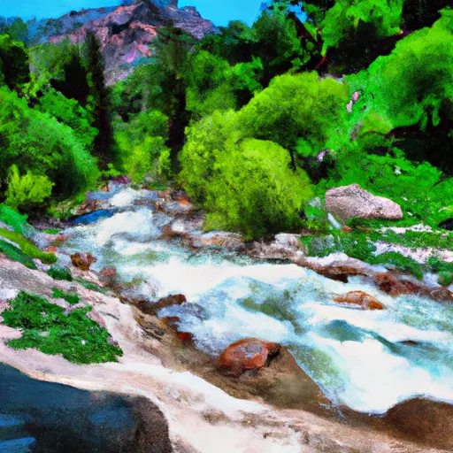 Headwaters Of North Fork Canyon Creek (Sec 6, T21N, R11E) To Confluence With East Fork Canyon Creek
-
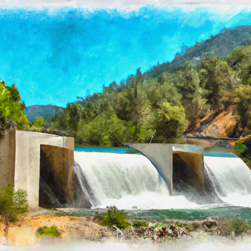 Gold Lake Dam To Falls
-
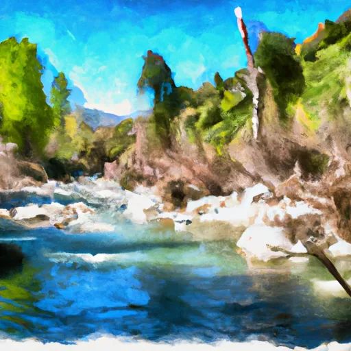 Headwaters Of East Fork Canyon Creek (Sec 13, T21N, R10E) To Confluence With South Fork Canyon Creek
-
 Falls To Gold Lake Highway


