Summary
The ideal streamflow range for this section of the river is between 500-1,500 cfs, which provides for a challenging but enjoyable run.
The North Fork Feather River is rated as a Class IV-V river, meaning it contains difficult and complex rapids that require significant skill and experience to navigate safely. Some of the rapids on this run include Trough Rapids, Three Forks Rapids, and Tobin Falls, which can be particularly challenging at higher water levels.
In terms of regulations, anyone looking to run this section of the North Fork Feather River should be aware that it is located within the Plumas National Forest, and therefore subject to regulations governing the use of national forest lands. Additionally, it is recommended that anyone running this section of the river do so with an experienced guide or group, as rescue and emergency services may be limited in the area.
Overall, the Caribou Reservoir to Beldon section of the North Fork Feather River offers an exciting and challenging whitewater run for experienced paddlers, but caution and preparation are essential to ensuring a safe and enjoyable trip.
°F
°F
mph
Wind
%
Humidity
15-Day Weather Outlook
River Run Details
| Last Updated | 2026-02-07 |
| River Levels | 442 cfs (3.23 ft) |
| Percent of Normal | 33% |
| Status | |
| Class Level | iv-v |
| Elevation | ft |
| Streamflow Discharge | cfs |
| Gauge Height | ft |
| Reporting Streamgage | USGS 11402000 |
5-Day Hourly Forecast Detail
Nearby Streamflow Levels
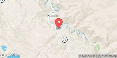 Spanish C Ab Blackhawk C At Keddie Ca
|
207cfs |
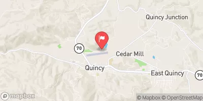 Spanish C A Quincy Ca
|
120cfs |
 Butte C Nr Chico Ca
|
506cfs |
 Deer C Nr Vina Ca
|
356cfs |
 N Yuba R Bl Goodyears Bar Ca
|
539cfs |
 Mill C Nr Los Molinos Ca
|
306cfs |
Area Campgrounds
| Location | Reservations | Toilets |
|---|---|---|
 Caribou Crossroads
|
||
 Gansner Bar
|
||
 Gansner Bar Campground
|
||
 Queen Lily
|
||
 Silver Lake (Family )
|
||
 Lower Bucks
|


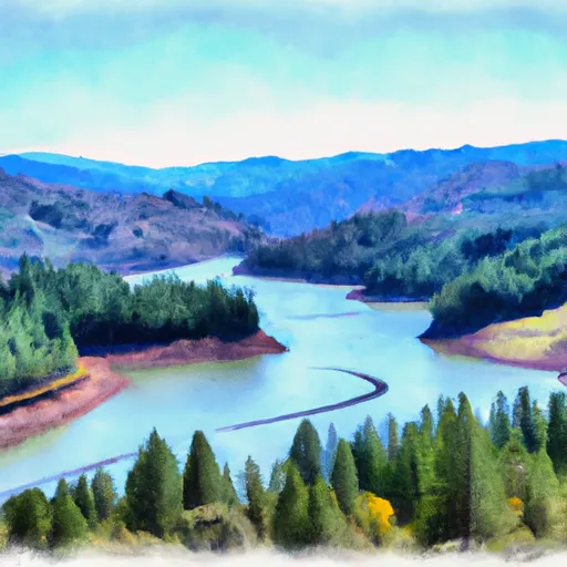 Caribou Reservoir To Beldon
 Nf Boundary To Confluence With North Fork Feather River
 Confluence Of Spanish Creek And Indian Creek To Confluence With North Fork Feather River
 Nf Boundary To Confluence With Yellow Creek