2026-02-18T22:00:00-08:00
* WHAT...Heavy snow expected. Accumulation amounts range from up to 1 foot 1500 to 2500 feet, 1 to 2 feet at 2500 to 3500 feet and 4 to 8 feet at higher elevations. Wind gusts of 45 to 55mph expected. * WHERE...West Slope Northern Sierra Nevada and Western Plumas County/Lassen Park including Interstate 80 and Highway 50, northern Shasta County including portions of Interstate 5, the Coastal Range, and foothill regions of the Sierra Nevada. * WHEN...From 10 PM this evening to 10 PM PST Wednesday. * IMPACTS...Dangerous to near impossible travel conditions with chain controls and road closures. Low visibility due to a combination of wind and heavy snow. * ADDITIONAL DETAILS...Snow levels will be around 4500-5500 feet tonight through Monday. 2500 to 3500 feet snow levels by Monday night and 1500 to 2500 feet Tuesday into Wednesday. Potential to see snow levels as low as 750 feet for areas along the Coastal Range, across Shasta County including Shasta Lake, and in the southern Cascades.
Summary
The ideal streamflow range for this stretch of river is between 400 and 800 cfs, providing a thrilling ride through class III and IV rapids.
The segment mileage of this run is approximately 8.5 miles and includes a variety of river rapids and obstacles, including the infamous "Meatgrinder" rapid. Other notable rapids include "S-Turn" and "Pinball". Paddlers should be aware of the risks associated with these rapids and should have appropriate safety equipment.
Specific regulations to this area include the requirement for a permit to access the river, which can be obtained from the Bureau of Land Management website. Additionally, all watercraft must have a valid California registration or be exempt from registration.
°F
°F
mph
Wind
%
Humidity
15-Day Weather Outlook
River Run Details
| Last Updated | 2026-02-07 |
| River Levels | 442 cfs (3.23 ft) |
| Percent of Normal | 33% |
| Status | |
| Class Level | iii |
| Elevation | ft |
| Streamflow Discharge | cfs |
| Gauge Height | ft |
| Reporting Streamgage | USGS 11402000 |
5-Day Hourly Forecast Detail
Nearby Streamflow Levels
 Spanish C Ab Blackhawk C At Keddie Ca
|
176cfs |
 Spanish C A Quincy Ca
|
92cfs |
 Butte C Nr Chico Ca
|
651cfs |
 Deer C Nr Vina Ca
|
417cfs |
 Mill C Nr Los Molinos Ca
|
763cfs |
 N Yuba R Bl Goodyears Bar Ca
|
492cfs |
Area Campgrounds
| Location | Reservations | Toilets |
|---|---|---|
 Queen Lily
|
||
 Gansner Bar
|
||
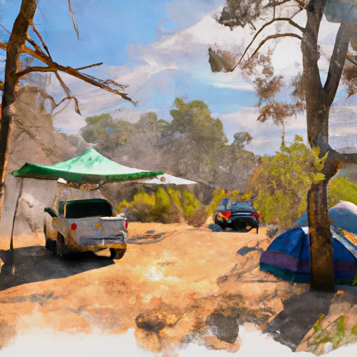 Gansner Bar Campground
|
||
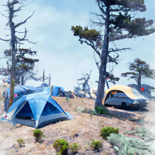 Caribou Crossroads
|
||
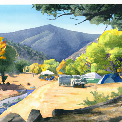 Cool Springs
|
||
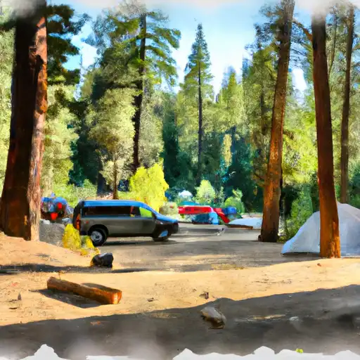 Ponderosa Flat
|


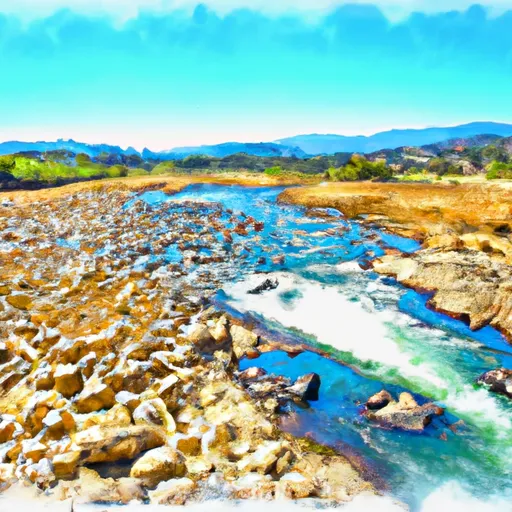 Nf Boundary To Confluence With Yellow Creek
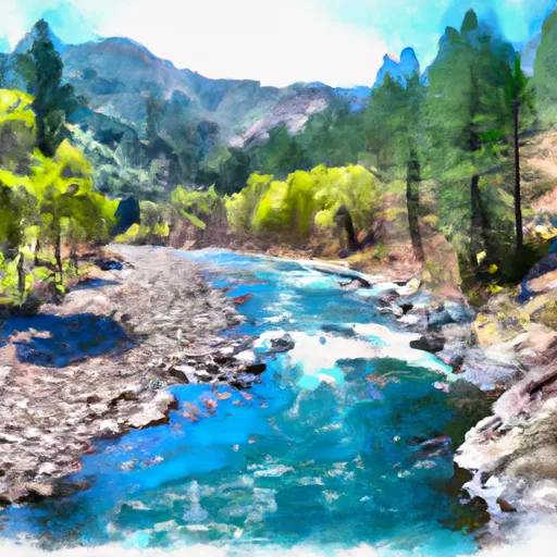 Nf Boundary To Confluence With North Fork Feather River
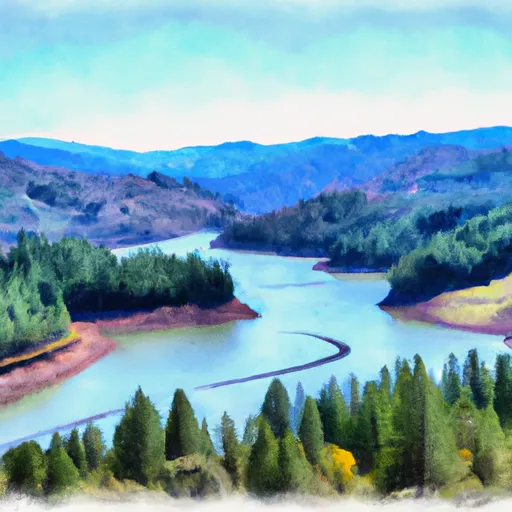 Caribou Reservoir To Beldon
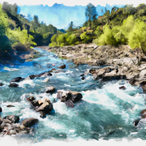 Confluence Of Spanish Creek And Indian Creek To Confluence With North Fork Feather River