2026-02-11T16:00:00-08:00
* WHAT...Snow. Snow accumulations of 4 to 8 inches along and just west of Highway 395 from June Lake to Mammoth Lakes. Above 8000 feet, 6 to 12 inches with up to 18 inches along the Sierra crest. Along Highway 395 near Bridgeport and Lee Vining, up to 2 inches. Winds gusting as high as 35 mph, with gusts reaching 70 mph along the Sierra crest. * WHERE...Mono County. * WHEN...From 10 PM Monday to 4 PM PST Wednesday. * IMPACTS...Travel could be very difficult. The hazardous conditions could impact the Tuesday morning and evening commutes. Gusty winds could bring down tree branches.
Summary
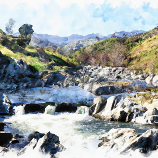
The wilderness boundary of this river run begins at the San Gorgonio Wilderness boundary and extends downstream to the Los Angeles Department of Water and Power property. The ideal streamflow range for this river run is between 100 and 350 cubic feet per second, which is usually found during the spring snowmelt or after significant rainfall.
The Whitewater River Run is rated as a class III-IV rapids, which means it is suitable for intermediate to advanced paddlers. The segment mileage of the river run is approximately 5 miles, and it features several exciting rapids such as Corner Pocket and Terminator. Paddlers must be cautious of obstacles such as fallen trees, boulders, and shallow areas of the river.
Specific regulations for this area include the requirement of a permit to enter the San Gorgonio Wilderness area, as well as a permit for overnight camping. Additionally, no motorized equipment is allowed on the river, and all waste must be properly packed out. It is also important for paddlers to be aware of the potential dangers of flash floods, which can occur during heavy rains in the surrounding mountains.
°F
°F
mph
Wind
%
Humidity
15-Day Weather Outlook
River Run Details
| Last Updated | 2026-02-07 |
| River Levels | 184 cfs (2.74 ft) |
| Percent of Normal | 94% |
| Status | |
| Class Level | iii-iv |
| Elevation | ft |
| Streamflow Discharge | cfs |
| Gauge Height | ft |
| Reporting Streamgage | USGS 10265150 |
5-Day Hourly Forecast Detail
Nearby Streamflow Levels
Area Campgrounds
| Location | Reservations | Toilets |
|---|---|---|
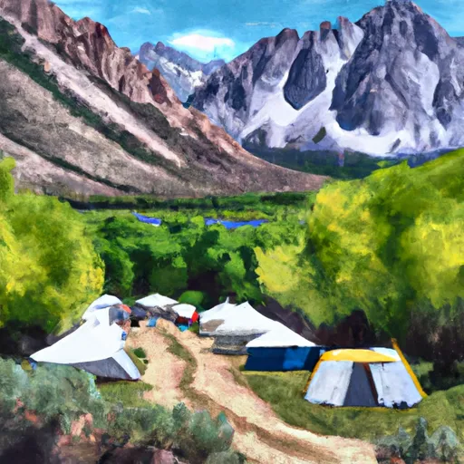 Convict Lake Campground
|
||
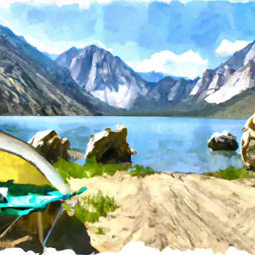 Convict Lake
|
||
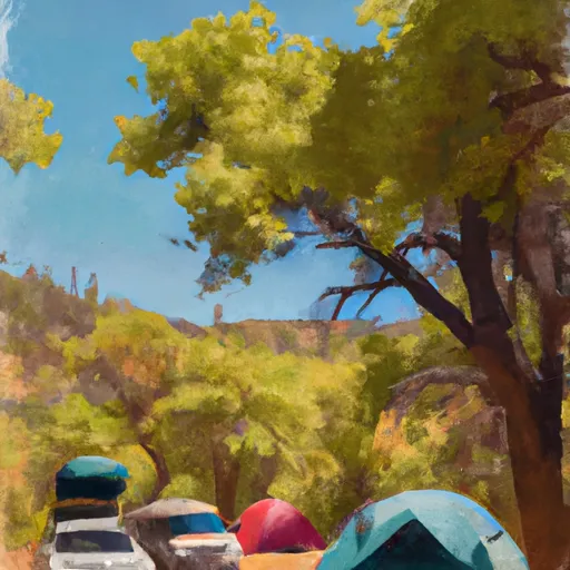 Sherwin Creek Campground
|
||
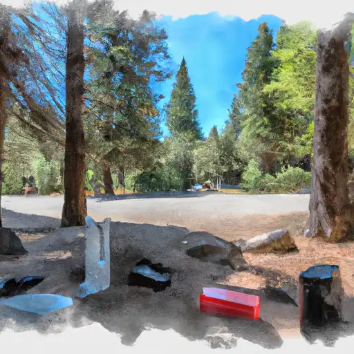 Sherwin Creek
|
||
 Coldwater Campground
|
||
 Coldwater
|


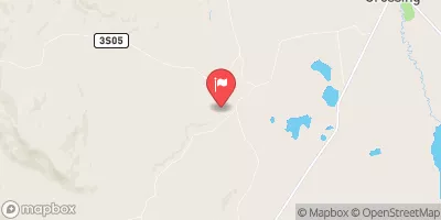
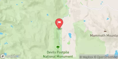
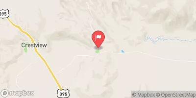
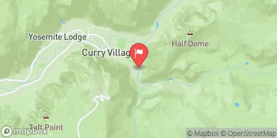
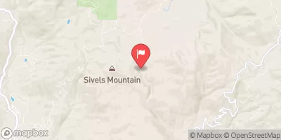
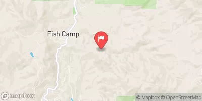
 Wilderness Boundary To La Dept. Of Water And Power Property
 Headwaters To Convict Lake
 Fish Hatchery To Nf Boundary
 Headwaters To Wilderness Boundary
 Hot Creek
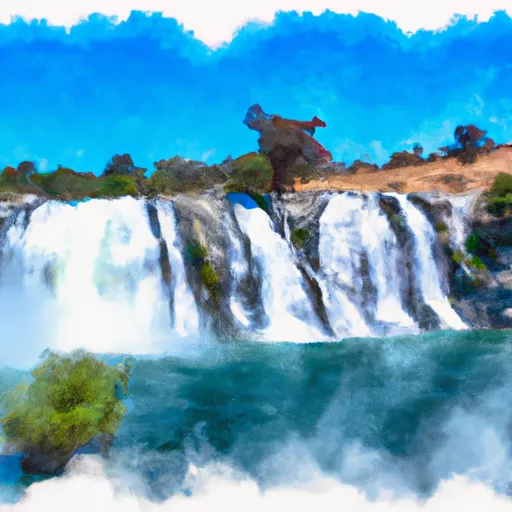 Rainbow Falls To National Monument Boundary
 Mammoth Creek Community Park
 Owens River Headwaters Wilderness
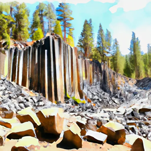 Devils Postpile National Monument
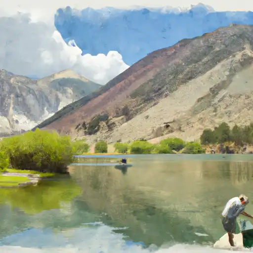 Convict Lake
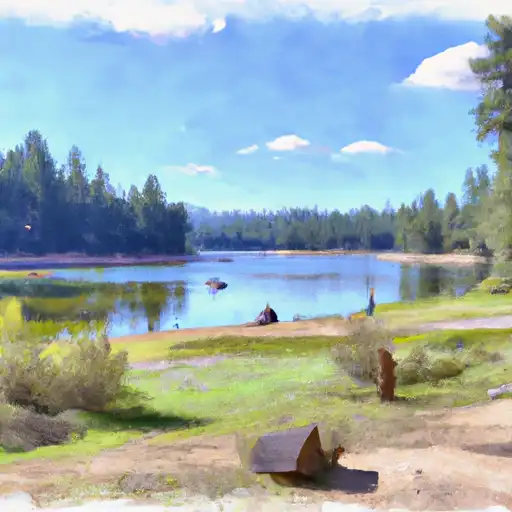 Deer Lakes
 Hot Creek
 Lake Mary
 Lake Mary Fishing Site