Summary
It is rated as a Class III-IV river, with a recommended streamflow range of 200-500 cfs. The segment mileage of this run is approximately 8 miles, with various obstacles and rapids along the way.
One of the significant rapids on the Lower Piru Creek is the Devil's Gate, which is a Class IV rapid that requires technical maneuvering. Other notable rapids include the Triple Threat, a Class III rapid, and the Staircase, which is a Class III-IV rapid. The river run is known for its scenic views and challenging rapids.
There are specific regulations that users must adhere to when visiting the Lower Piru Creek. For instance, visitors are required to obtain a permit from the Bureau of Land Management before accessing the river. Additionally, visitors are encouraged to practice Leave No Trace principles while on the river and to pack out all trash.
In conclusion, Lower Piru Creek is an exciting river run that offers challenging rapids and stunning views. The recommended streamflow range is 200-500 cfs, and the river is rated as a Class III-IV. Visitors must obtain a permit from the Bureau of Land Management before accessing the river and practice Leave No Trace principles while on the river.
°F
°F
mph
Wind
%
Humidity
15-Day Weather Outlook
River Run Details
| Last Updated | 2026-02-07 |
| River Levels | 35 cfs (3.35 ft) |
| Percent of Normal | 93% |
| Status | |
| Class Level | iii-iv |
| Elevation | ft |
| Streamflow Discharge | cfs |
| Gauge Height | ft |
| Reporting Streamgage | USGS 11109600 |
5-Day Hourly Forecast Detail
Nearby Streamflow Levels
 Piru Creek Above Lake Piru Ca
|
164cfs |
 Piru Creek Below Santa Felicia Dam Ca
|
49cfs |
 Piru C Ab Frenchmans Flat Ca
|
16cfs |
 Santa Clara R Nr Piru Ca
|
169cfs |
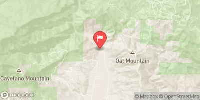 Sespe C Nr Fillmore
|
342cfs |
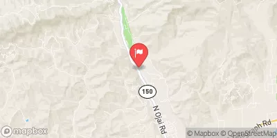 Santa Paula C Nr Santa Paula
|
48cfs |
Area Campgrounds
| Location | Reservations | Toilets |
|---|---|---|
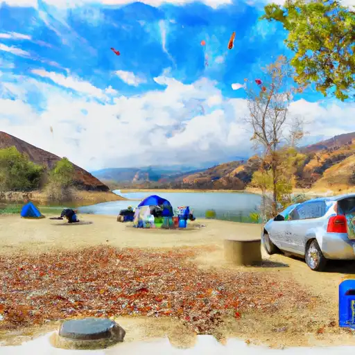 Lake Piru State Rec Area
|
||
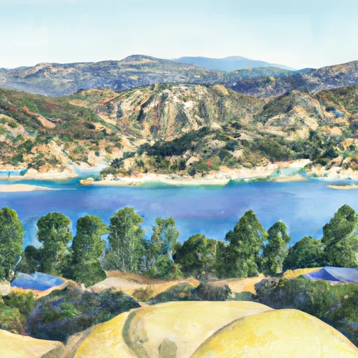 Castaic Lake
|
||
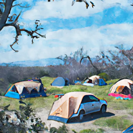 Cienaga Campground
|


 Piru Canyon Road 4780, Castaic
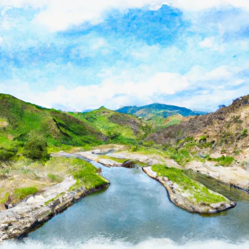 Lower Piru Creek (Oulet At Pyramid Reservoir) To Piru Reservoir
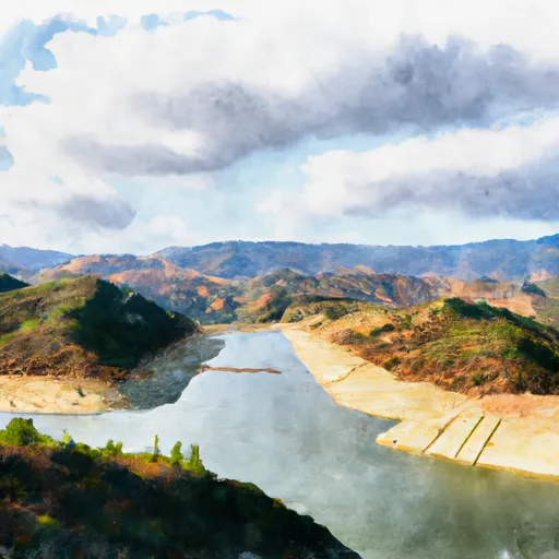 Castaic To Pyramid Reservoir
 Warring Park
 Del Valle County Park
 Piru Square
 Val Verde County Park
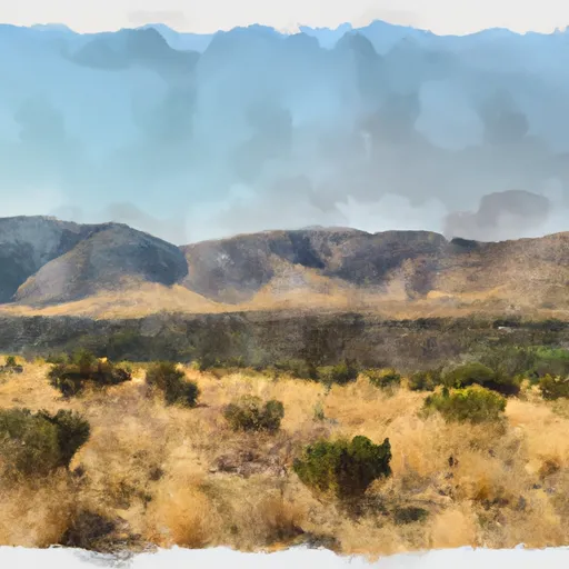 Hopper Mountain National Wildlife Refuge
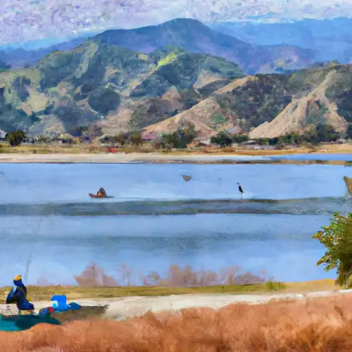 Piru Lake
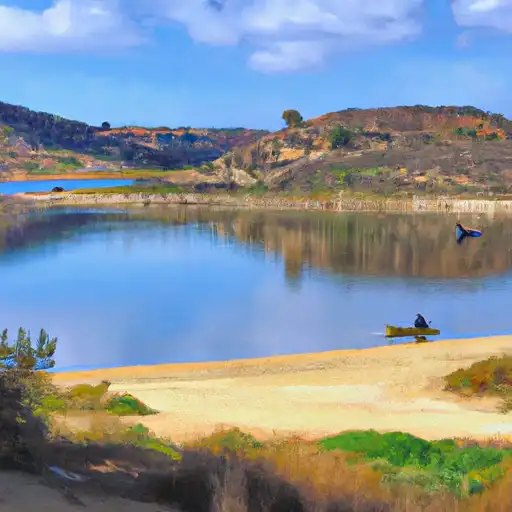 Castaic Lagoon
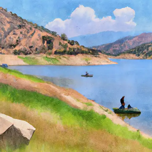 Castaic Lake
 Fishing Pier
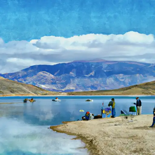 Pyramid Lake