Summary
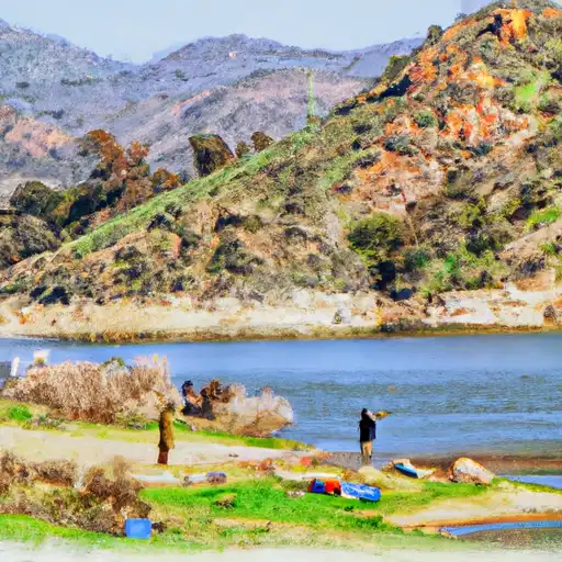
This boat ramp is a popular location for boating enthusiasts as it provides easy access to Castaic Lake, which is a large artificial reservoir that spans over 2,200 acres.
The Lake Hughes Road Castaic boat ramp is a concrete ramp that is approximately 30 feet wide and is suitable for launching a variety of watercraft, including kayaks, canoes, small boats, and larger recreational vessels. The ramp is well-maintained and is accessible to the public free of charge.
Castaic Lake, which is serviced by the Lake Hughes Road Castaic boat ramp, is a popular destination for fishing, boating, and other water-based activities. The lake is stocked with a variety of fish species, including bass, catfish, and trout, and also features several beaches and picnic areas for visitors to enjoy.
As per the latest information available, the Lake Hughes Road Castaic boat ramp permits all kinds of watercraft, including motorized and non-motorized boats, but personal watercraft (jet skis) are prohibited on the lake. Additionally, all watercraft must comply with California boating laws and regulations and must display the appropriate registration and safety equipment.
°F
°F
mph
Wind
%
Humidity
15-Day Weather Outlook
Nearby Boat Launches
5-Day Hourly Forecast Detail
Area Streamflow Levels
| PIRU CREEK BELOW SANTA FELICIA DAM CA | 49cfs |
| PIRU CREEK ABOVE LAKE PIRU CA | 164cfs |
| SANTA CLARA R NR PIRU CA | 169cfs |
| PIRU C AB FRENCHMANS FLAT CA | 16cfs |
| SESPE C NR FILLMORE | 342cfs |
| BIG TUJUNGA C BL HANSEN DAM CA | 20cfs |

 Lake Hughes Road Castaic
 Site Of St Francis Dam Disaster To Seco Canyon At The Nf Boundary
 Lower Piru Creek (Oulet At Pyramid Reservoir) To Piru Reservoir
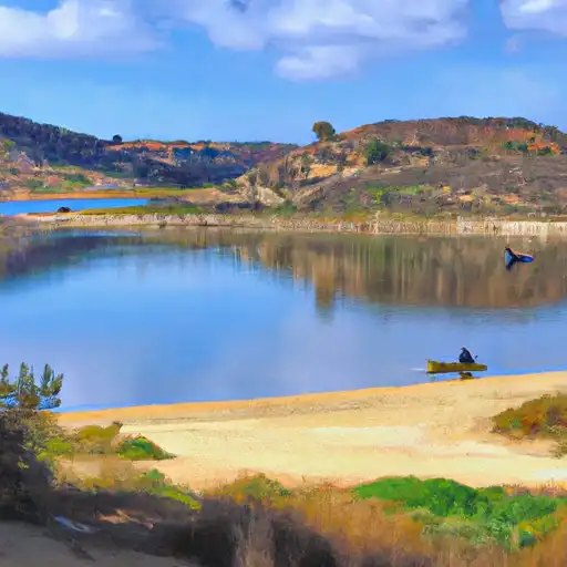 Castaic Lagoon
 Castaic Lake
 Piru Lake
 Lake Piru