Summary
The ideal streamflow range for this section of the river is between 250 and 600 cfs, with peak flows occurring in the spring and early summer. The section is rated as Class III, with some sections reaching Class IV during high flows.
The segment mileage for this run is approximately 12 miles, with several challenging rapids and obstacles along the way. One of the most notable rapids is "Deadman's Drop," a Class IV rapid that requires precise navigation and strong paddling skills. Other notable rapids include "The Chute," " The Narrows," and "The Maze."
There are several specific regulations that apply to this area, including permits and restrictions on camping and fires. All parties must obtain a wilderness permit before entering the area, and camping is only allowed in designated sites. Fires are also prohibited in many parts of the wilderness area, so visitors should plan accordingly.
Overall, the Whitewater River Run Wilderness Boundary to Tom's Place is a challenging and exciting whitewater rafting destination for experienced paddlers. Visitors should be aware of the ideal streamflow range and specific regulations before embarking on a trip to this area.
°F
°F
mph
Wind
%
Humidity
15-Day Weather Outlook
River Run Details
| Last Updated | 2026-02-07 |
| River Levels | 184 cfs (2.74 ft) |
| Percent of Normal | 94% |
| Status | |
| Class Level | iii-iv |
| Elevation | ft |
| Streamflow Discharge | cfs |
| Gauge Height | ft |
| Reporting Streamgage | USGS 10265150 |
5-Day Hourly Forecast Detail
Nearby Streamflow Levels
Area Campgrounds
| Location | Reservations | Toilets |
|---|---|---|
 French Camp Campground
|
||
 Tuff Campground
|
||
 French Camp
|
||
 Holiday
|
||
 Tuff
Tuff
|
||
 Holiday Campground
|


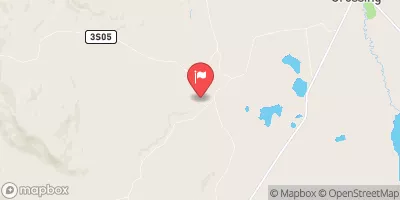
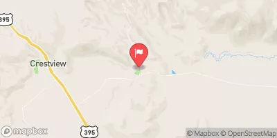
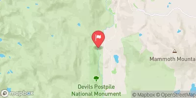
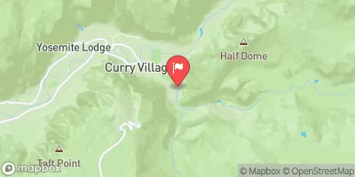
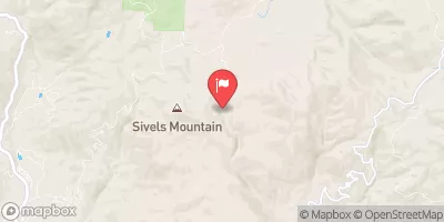
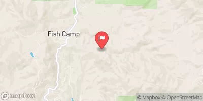
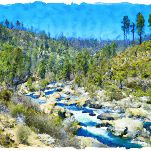 Wilderness Boundary To Tom'S Place
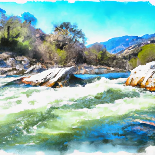 Tom'S Place To Nf Boundary
 Lower Rock Creek
 Headwaters To Wilderness Boundary
 Headwaters To Convict Lake