Summary
The ideal streamflow range for this river run is between 250 and 800 cfs. At lower flow, the river is more technical with smaller rapids, while at higher flow, the rapids become bigger and more powerful. It is rated as a Class III-IV river run, making it a great option for intermediate to advanced kayakers and rafters.
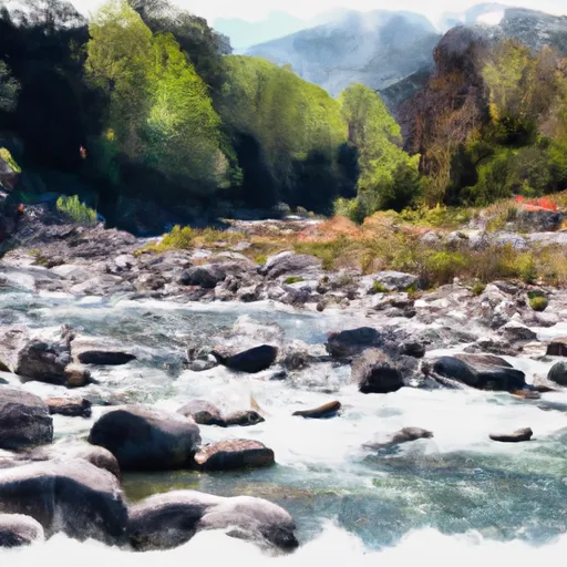
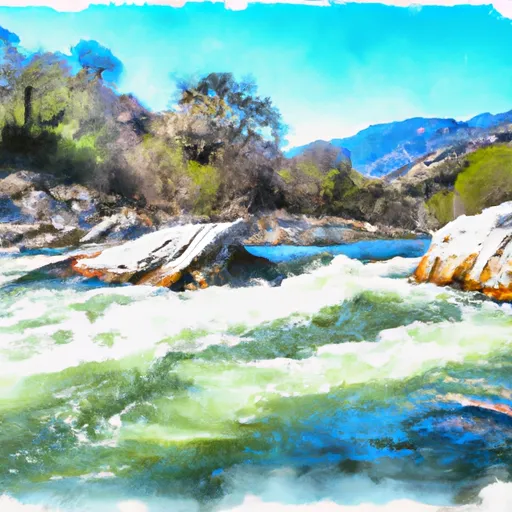
The segment mileage of the Lower Rock Creek run is approximately 7 miles, starting from the town of Toms Place and ending at the confluence with the Owens River. There are several notable rapids and obstacles along the way, including the "Eleven Mile Falls," a Class IV rapid that requires precise navigation through a narrow chute. Other notable rapids include "Hole in the Wall," "Tombstone," and "Champagne."
To ensure the safety of all river users, there are specific regulations in place for the Lower Rock Creek area. These regulations include mandatory wearing of personal flotation devices (PFDs), no alcohol or drug use while on the river, and a minimum age requirement of 12 years old for kayakers and 7 years old for rafters. It is also important to note that during times of high flow, the river can become dangerous and should only be attempted by experienced paddlers.
Overall, Lower Rock Creek is a thrilling and challenging whitewater river run that offers a variety of rapids and obstacles for intermediate to advanced paddlers. With proper preparation and adherence to regulations, it can provide a memorable and exciting experience for all who undertake it.
°F
°F
mph
Wind
%
Humidity
15-Day Weather Outlook
River Run Details
| Last Updated | 2025-06-28 |
| River Levels | 184 cfs (2.74 ft) |
| Percent of Normal | 60% |
| Status | |
| Class Level | iii-iv |
| Elevation | ft |
| Streamflow Discharge | cfs |
| Gauge Height | ft |
| Reporting Streamgage | USGS 10265150 |
5-Day Hourly Forecast Detail
Nearby Streamflow Levels
Area Campgrounds
| Location | Reservations | Toilets |
|---|---|---|
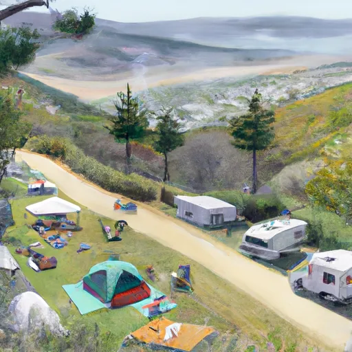 Holiday
|
||
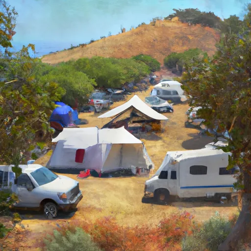 Holiday Campground
|
||
 Tuff
Tuff
|
||
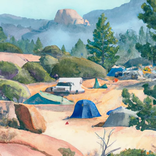 French Camp Campground
|
||
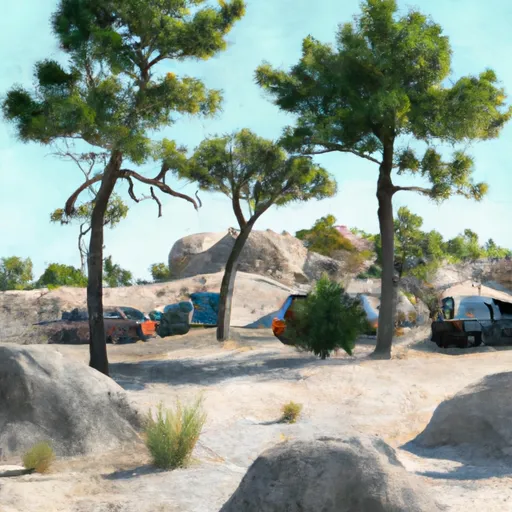 Tuff Campground
|
||
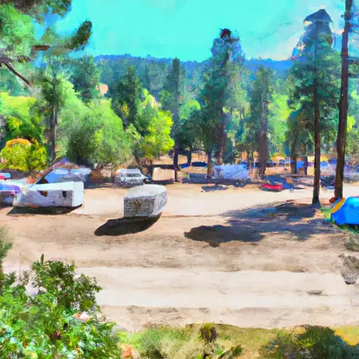 French Camp
|


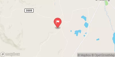
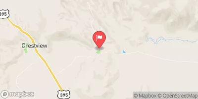
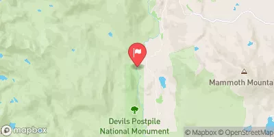
 Lower Rock Creek
 Tom'S Place To Nf Boundary
 Wilderness Boundary To Tom'S Place
 Headwaters To Wilderness Boundary
 Fish Slough