Summary
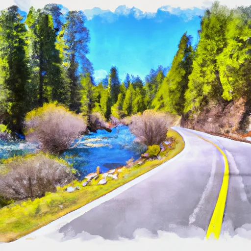
The ideal streamflow range for this river run is between 500 and 1,000 cfs. The class rating for this run is Class III to IV, with some sections reaching Class V during high water flows.
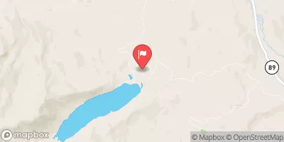
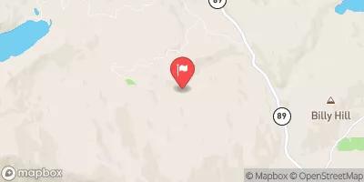
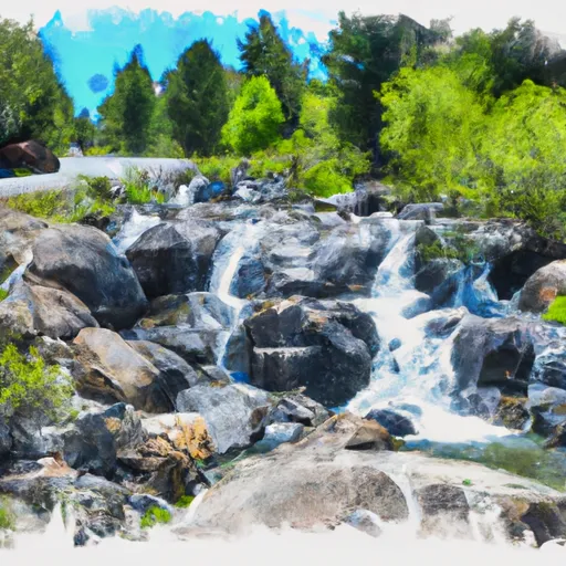
The segment mileage for this river run is approximately 8 miles, starting at Gold Lake Highway and ending at the National Forest boundary. There are several specific river rapids and obstacles along the way, including "Whitewater Falls," "Drunken Sailor," and "Rattlesnake Rapid."
There are specific regulations to keep in mind when visiting this area. All boaters are required to obtain a permit from the Forest Service and follow all rules and regulations set forth by the agency. Additionally, boaters must wear personal floatation devices at all times and are responsible for their own safety.
°F
°F
mph
Wind
%
Humidity
15-Day Weather Outlook
River Run Details
| Last Updated | 2026-02-07 |
| River Levels | 2740 cfs (7.21 ft) |
| Percent of Normal | 75% |
| Status | |
| Class Level | iii-v |
| Elevation | ft |
| Streamflow Discharge | cfs |
| Gauge Height | ft |
| Reporting Streamgage | USGS 11413000 |
5-Day Hourly Forecast Detail
Nearby Streamflow Levels
Area Campgrounds
| Location | Reservations | Toilets |
|---|---|---|
 Rivers RV Park
|
||
 Lakes Basin Group Campground
|
||
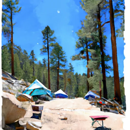 Lakes Basin Campground
|
||
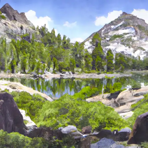 Lakes Basin .
|
||
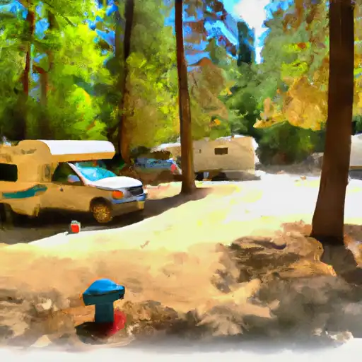 Plumas - Eureka State Park
|
||
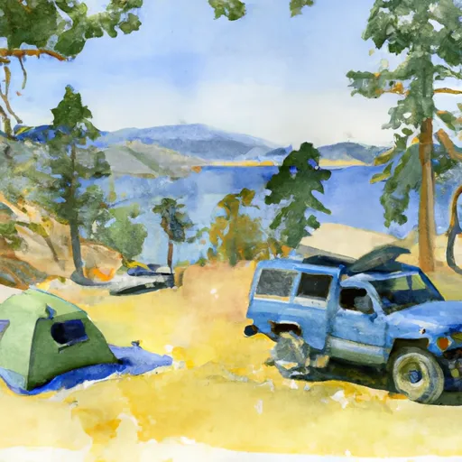 Gold Lake 4x4
|


 Gold Lake Highway To Nf Boundary
 Falls To Gold Lake Highway
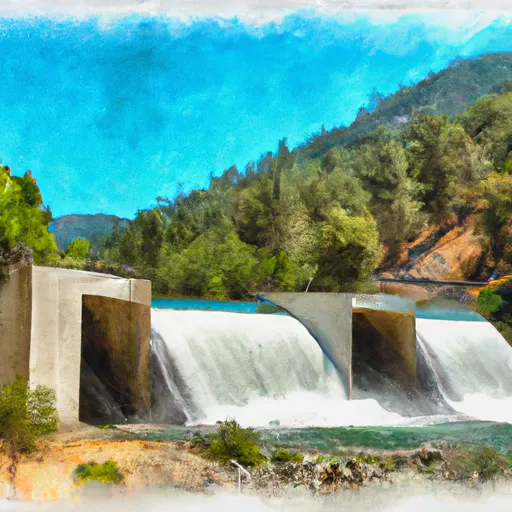 Gold Lake Dam To Falls
 Little Jamison Creek Headwaters To State Park
 Headwaters To State Park
 State Park To Confluence With Middle Fork Feather Wsr