Summary
The ideal stream flow range for this river is between 1,000 and 4,000 cubic feet per second (cfs). The class rating for this river is mostly Class III, with some Class IV rapids. The segment mileage for this river run is approximately 17 miles.
The Whitewater River Run features several challenging rapids and obstacles, including The Ledge, which is a Class IV rapid with a steep drop and a large boulder in the middle of the channel. Other notable rapids on this run include The Maze, which is a Class III rapid with several channels to navigate, and The Slide, which is a Class III rapid that features a steep drop and a narrow channel.
There are several regulations in place for this area, including a limit on the number of people allowed on the river at any given time. Additionally, all participants must wear a properly fitting life jacket at all times while on the river. It is also recommended that participants have prior whitewater experience before attempting this run, as the rapids can be challenging.
Overall, the Whitewater River Run offers a thrilling and exciting whitewater experience in the beautiful state of California. It is important to follow all regulations and safety guidelines to ensure a safe and enjoyable experience for all participants.
°F
°F
mph
Wind
%
Humidity
15-Day Weather Outlook
River Run Details
| Last Updated | 2026-02-07 |
| River Levels | 1290 cfs (5.63 ft) |
| Percent of Normal | 78% |
| Status | |
| Class Level | iii-iv |
| Elevation | ft |
| Run Length | 8.0 Mi |
| Streamflow Discharge | cfs |
| Gauge Height | ft |
| Reporting Streamgage | USGS 11355010 |
5-Day Hourly Forecast Detail
Nearby Streamflow Levels
 Pit R Bl Pit No 1 Ph Nr Fall River Mills Ca
|
1820cfs |
 Burney C A Burney Falls Nr Burney Ca
|
168cfs |
 Hat C Nr Hat Creek Ca
|
164cfs |
 Pit R Nr Canby Ca
|
150cfs |
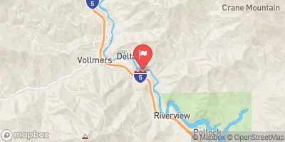 Sacramento R A Delta Ca
|
1130cfs |
 Cow C Nr Millville Ca
|
847cfs |
Area Campgrounds
| Location | Reservations | Toilets |
|---|---|---|
 Pit River
|
||
 Inter-Mountain Fair of Shasta county
|
||
 Pit River/Cassel
|
||
 Dusty Camp
|
||
 Dusty Campground
|
||
 McArthur - Burney Falls State Park
|


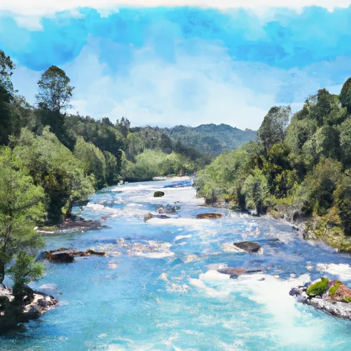 Begins Immediately Southwest Of Fall River Mills, Ca To It Flows Into Shasta Lake And The Sacramento River.
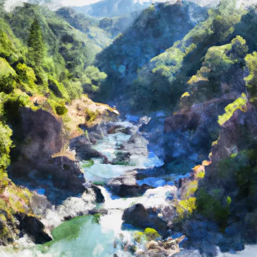 Lower Pit River Canyon
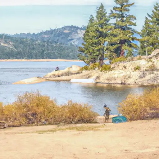 Fall River Lake
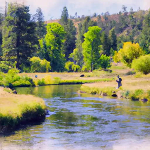 Hat Creek
 Britton Lake