Summary
The ideal streamflow range for this run is between 300-800 cubic feet per second (cfs), providing exciting rapids without being too dangerous. The class rating for this run ranges from Class II to Class IV, with some challenging drops and rapids.
The total segment mileage for this run is around 10 miles, with several notable rapids and obstacles. Some of the most challenging rapids include "Little Whirlpool," "Satan's Gate," and "Pinball." These rapids require skill and experience to navigate safely and should only be attempted by experienced paddlers.
Specific regulations for the Whitewater River Run include a permit requirement to access the area. Additionally, there are rules against littering, camping in undesignated areas, and disturbing wildlife. Paddlers are also required to wear appropriate safety gear, including helmets and personal flotation devices.
Overall, the Whitewater River Run provides an exciting and challenging experience for experienced paddlers. The ideal streamflow range, class rating, segment mileage, and specific rapids and obstacles provide a unique experience for those looking for a challenging whitewater run. However, it is important to follow all regulations and safety guidelines to ensure a safe and enjoyable experience.
°F
°F
mph
Wind
%
Humidity
15-Day Weather Outlook
River Run Details
| Last Updated | 2026-02-07 |
| River Levels | 287 cfs (3.54 ft) |
| Percent of Normal | 97% |
| Status | |
| Class Level | ii-iv |
| Elevation | ft |
| Run Length | 11.0 Mi |
| Streamflow Discharge | cfs |
| Gauge Height | ft |
| Reporting Streamgage | USGS 11355500 |
5-Day Hourly Forecast Detail
Nearby Streamflow Levels
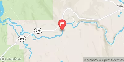 Pit R Bl Pit No 1 Ph Nr Fall River Mills Ca
|
1820cfs |
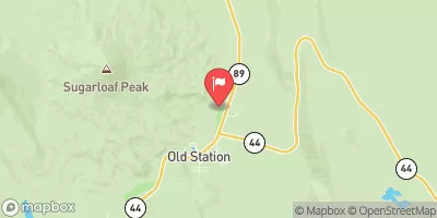 Hat C Nr Hat Creek Ca
|
164cfs |
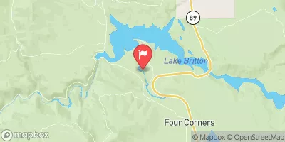 Burney C A Burney Falls Nr Burney Ca
|
168cfs |
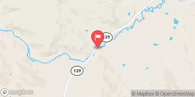 Pit R Nr Canby Ca
|
150cfs |
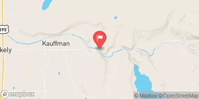 Sf Pit R Nr Likely Ca
|
10cfs |
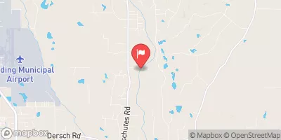 Cow C Nr Millville Ca
|
847cfs |


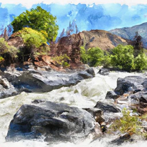 Begins 2.5 Miles West Of Little Valley, California To Juncture With The Pit River.
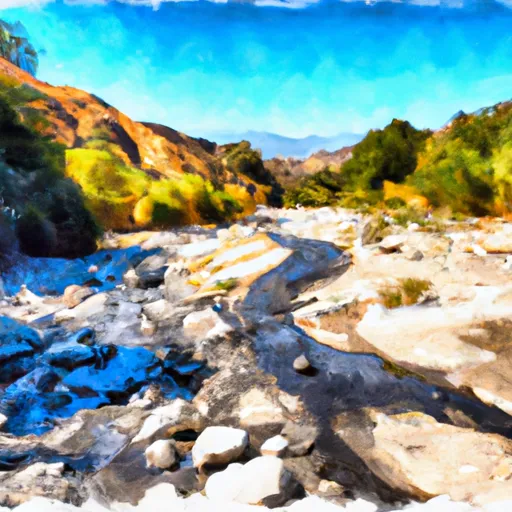 Lower Horse Creek Canyon
 Begins Near Muck Valley To Ends Two Miles From The Fall River Valley
 Upper Pit River Canyon