2026-02-18T16:00:00-08:00
* WHAT...Heavy snow expected. Total snow accumulations between 6 and 12 inches. Winds gusting as high as 55 mph. * WHERE...Southwestern Humboldt above 2,500 feet. * WHEN...From 10 PM this evening to 4 PM PST Wednesday. * IMPACTS...Travel could be very difficult. Gusty winds and heavy snow could bring down tree branches and cause power outages. Road closures are possible. * ADDITIONAL DETAILS...This may impact Mattole Road and Shelter Cove road among other roads above 2,000 feet.
Summary
The ideal streamflow range for this segment is between 500-2500 cfs, which provides a thrilling and challenging experience. The class rating for this run is Class III-V, which requires advanced to expert level skills.
The segment mileage for this run is approximately 7 miles, and it is characterized by several challenging rapids and obstacles, including the Super Slide, the Toilet Bowl, and the S-Turn. The Super Slide is a long, steep drop that requires precise maneuvering, while the Toilet Bowl is a hole that can capsize boats if not navigated correctly. The S-Turn consists of a series of tight turns that require quick reflexes and precise steering.
To ensure the safety of all participants, there are specific regulations in place for this area. All participants must have appropriate safety gear, including helmets and personal flotation devices. Additionally, all participants must follow Leave No Trace principles to protect the natural environment and to maintain the area's pristine condition.
Overall, the Whitewater River Run from Shelter Cove Road to the Junction with Main Stem in Section 9, T4S, R1E, HM in California is a challenging and exciting destination for experienced whitewater enthusiasts. With its challenging rapids, specific regulations, and stunning natural beauty, it is a must-visit destination for anyone looking for an adrenaline-fueled adventure.
°F
°F
mph
Wind
%
Humidity
15-Day Weather Outlook
River Run Details
| Last Updated | 2026-02-07 |
| River Levels | 47 cfs (8.9 ft) |
| Percent of Normal | 8% |
| Status | |
| Class Level | iii-v |
| Elevation | ft |
| Run Length | 8.0 Mi |
| Streamflow Discharge | cfs |
| Gauge Height | ft |
| Reporting Streamgage | USGS 11468900 |
5-Day Hourly Forecast Detail
Nearby Streamflow Levels
 Mattole R Nr Ettersburg Ca
|
1060cfs |
 Sf Eel R Nr Miranda Ca
|
3950cfs |
 Bull C Nr Weott Ca
|
240cfs |
 Mattole R Nr Petrolia Ca
|
1950cfs |
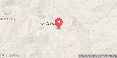 Eel R A Fort Seward Ca
|
8400cfs |
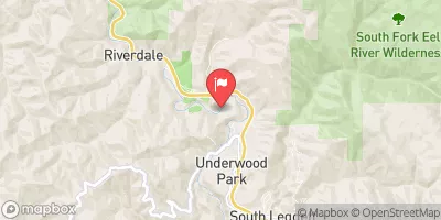 Sf Eel R A Leggett Ca
|
4360cfs |
Area Campgrounds
| Location | Reservations | Toilets |
|---|---|---|
 Tolkan
|
||
 Gitchell Creek
|
||
 Place for a tent
|
||
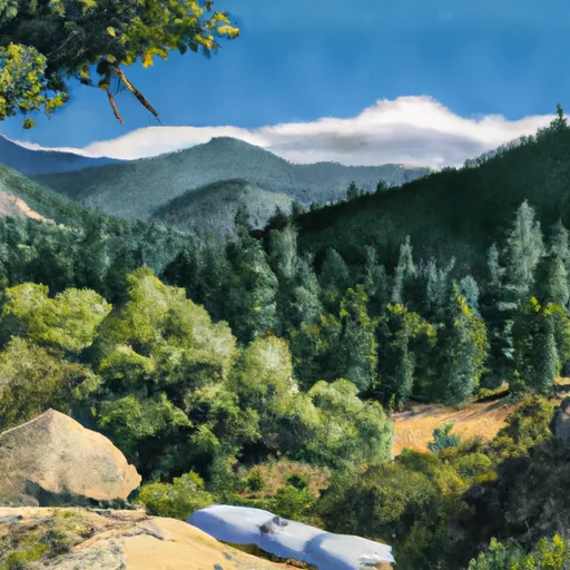 Horse Mountain Creek
|
||
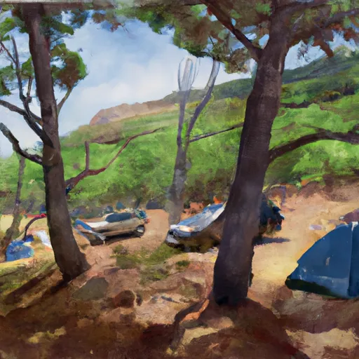 Shipman Creek
|
||
 Maple Camp
|
River Runs
-
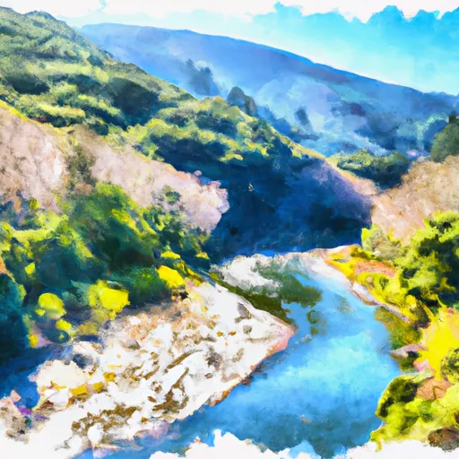 From Shelter Cove Road To To Junction With Main Stem In Sec. 9, T4S, R1E, Hm
-
 Bear Creek, Main Stem, Trib
-
 Southwest 1/4 Sec. 14 T4S, R1E, Hm To Northeast 1/4 Sec. 14 T4S, R1E, Hm
-
 From Its Headwaters In Sec. 14, T4S, R1E, Hm To To Its Junction With The Mattole River
-
 Northeast 1/4 Of Sec. 29 And Northwest 1/4 Of Sec. 21, T4S, R1E, Hm To To Its Junction With The Main Stem
-
 Bear Creek, Main Stem

