2026-02-06T22:00:00-08:00
* WHAT...Increased threat of sneaker waves expected. * WHERE...Coastal Del Norte, Northern Humboldt Coast, Southwestern Humboldt and Mendocino Coast Counties. * WHEN...Through this evening. . * IMPACTS...Large, unexpected waves can sweep across the beach without warning, sweeping people into the sea from rocks, jetties, and beaches. These sneaker waves can also move large objects such as logs, crushing anyone caught underneath.
Summary
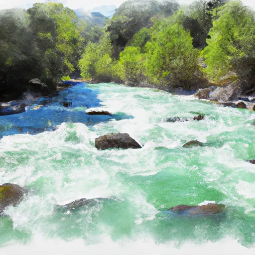
The ideal streamflow range for this run is between 600 and 1500 cfs. It is rated as a class III-IV run with a total segment mileage of around 10 miles.
This run features several notable rapids and obstacles, including "Pinball," a rapid with several large boulders that requires precise navigation, and "The Squeeze," a narrow section of the river that can be challenging to pass through. It is important to note that there are several sections of this run that are not suitable for novice paddlers and should only be attempted by experienced whitewater enthusiasts.
Specific regulations for this area include the requirement for a California River Access Permit for any vehicles parked along the riverbank. Additionally, visitors should be mindful of any posted signs or restrictions related to camping, campfires, and other activities. It is important to leave the area as you found it and respect the natural environment.
In conclusion, the Whitewater River Run is a challenging and exciting whitewater experience that requires skill and experience to navigate safely. Visitors should be mindful of specific regulations and respect the natural environment to ensure the longevity of this beautiful natural resource.
°F
°F
mph
Wind
%
Humidity
15-Day Weather Outlook
River Run Details
| Last Updated | 2026-01-26 |
| River Levels | 47 cfs (8.9 ft) |
| Percent of Normal | 15% |
| Status | |
| Class Level | iii-iv |
| Elevation | ft |
| Run Length | 3.0 Mi |
| Streamflow Discharge | cfs |
| Gauge Height | ft |
| Reporting Streamgage | USGS 11468900 |
5-Day Hourly Forecast Detail
Nearby Streamflow Levels
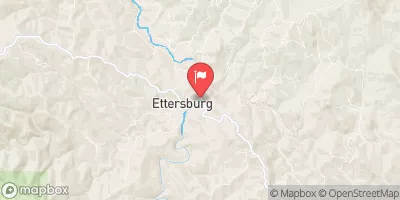 Mattole R Nr Ettersburg Ca
|
62cfs |
 Sf Eel R Nr Miranda Ca
|
604cfs |
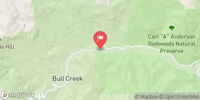 Bull C Nr Weott Ca
|
83cfs |
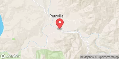 Mattole R Nr Petrolia Ca
|
233cfs |
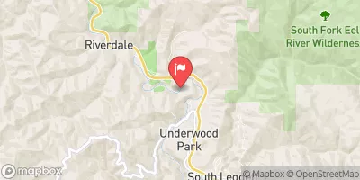 Sf Eel R A Leggett Ca
|
231cfs |
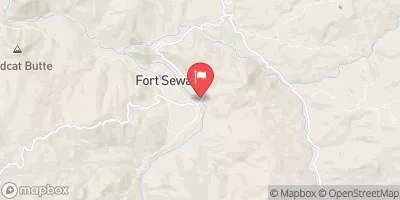 Eel R A Fort Seward Ca
|
1620cfs |
Area Campgrounds
| Location | Reservations | Toilets |
|---|---|---|
 Tolkan
|
||
 Horse Mountain Creek
|
||
 Place for a tent
|
||
 Nadelos
|
||
 Nadelos Tenting Area
|
||
 Gitchell Creek
|
River Runs
-
 From Headwaters In Sec. 35, T4S, R1E, Hm To To Its Junction With The Mattole River
-
 Southwest And Northwest 1/4 Of Sec. 36 T4S, R1E, Hm. To To Its Junction With Big Creek
-
 Southeast 1/4 Of Sec. 1 T5S, R1E, Hm To To Its Junction With The Main Stem
-
 Northeast 1/4 Sec. 3, T5S, R1E, Hm To To Its Junction With The Main Stem
-
 Southeast 1/4 Of Sec. 23 T4S, R1E, Hm To To Its Junction With The Main Stem
-
 From Its Headwaters In Sec. 1, T5S, R1E, Hm To To Its Junction With The Mattole River

