2026-02-25T00:00:00-08:00
* WHAT...Flooding caused by excessive rainfall is possible. * WHERE...A portion of northwest California, including the following areas, Coastal Del Norte, Del Norte Interior, Mendocino Coast, Northeastern Mendocino Interior, Northern Humboldt Coast, Northern Humboldt Interior, Northern Lake, Northern Trinity, Northwestern Mendocino Interior, Southeastern Mendocino Interior, Southern Humboldt Interior, Southern Lake, Southern Trinity, Southwestern Humboldt and Southwestern Mendocino Interior. * WHEN...From Monday evening through Tuesday evening. * IMPACTS...There will be an increased risk of rock and land slides along roadways. Excessive runoff may result in flooding of rivers, creeks, streams, and other low-lying and flood-prone locations. * ADDITIONAL DETAILS... - A prolonged duration of moderate to heavy rain is expected. - http://www.weather.gov/safety/flood
Summary
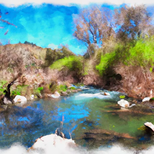
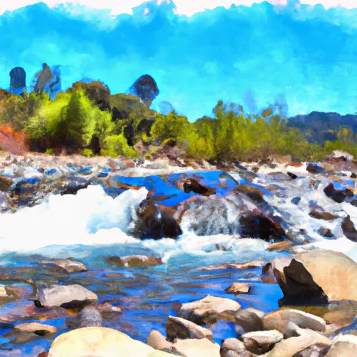
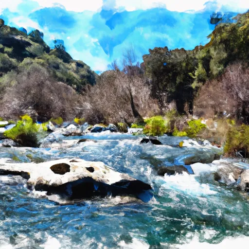
The ideal streamflow range for Pipe Creek is between 100 to 500 cubic feet per second (cfs), making it suitable for intermediate and advanced level kayakers. The river is rated as class III to IV, which means it has moderate to difficult rapids with strong eddies and waves. The segment mileage of Pipe Creek is approximately 8 miles, which can be completed in a day.
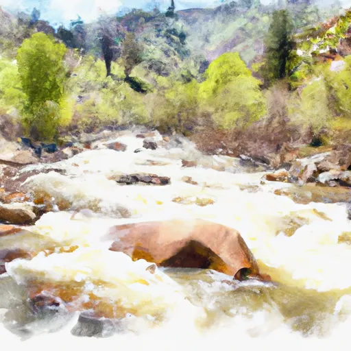
The river rapids in Pipe Creek are renowned for their unique and challenging obstacles such as Boxcar, Nutcracker, and Chamberlain Falls. Boxcar is a class IV rapid with a narrow channel and a sharp left turn, making it a challenging obstacle to navigate through. Nutcracker is a class III rapid with a long channel and large waves that require kayakers to maintain their balance and speed. Chamberlain Falls is a class IV rapid with a steep drop and a large wave at the bottom, making it a thrilling and adventurous challenge for kayakers.
As with all river runs, there are specific regulations that kayakers must follow while on Pipe Creek. Kayakers must wear a personal flotation device and a helmet at all times while on the river. Additionally, kayakers must be aware of the wildlife in the area and avoid disturbing the natural habitat of animals such as the California condor and the steelhead trout.
In conclusion, Pipe Creek is a challenging and thrilling whitewater river run in California with ideal streamflow range between 100 to 500 cfs. The river is rated as class III to IV with unique and challenging obstacles such as Boxcar, Nutcracker, and Chamberlain Falls. Kayakers must follow specific regulations while on the river, including wearing personal flotation devices and helmets and being mindful of the wildlife in the area.
°F
°F
mph
Wind
%
Humidity
15-Day Weather Outlook
River Run Details
| Last Updated | 2025-06-28 |
| River Levels | 947 cfs (9.3 ft) |
| Percent of Normal | 77% |
| Status | |
| Class Level | iii-iv |
| Elevation | ft |
| Streamflow Discharge | cfs |
| Gauge Height | ft |
| Reporting Streamgage | USGS 11475000 |
5-Day Hourly Forecast Detail
Nearby Streamflow Levels
 Eel R A Fort Seward Ca
|
5170cfs |
 Sf Eel R Nr Miranda Ca
|
2420cfs |
 Sf Eel R A Leggett Ca
|
1220cfs |
 Mattole R Nr Ettersburg Ca
|
470cfs |
 Elder C Nr Branscomb Ca
|
26cfs |
 Mad R Ab Ruth Res Nr Forest Glen Ca
|
270cfs |


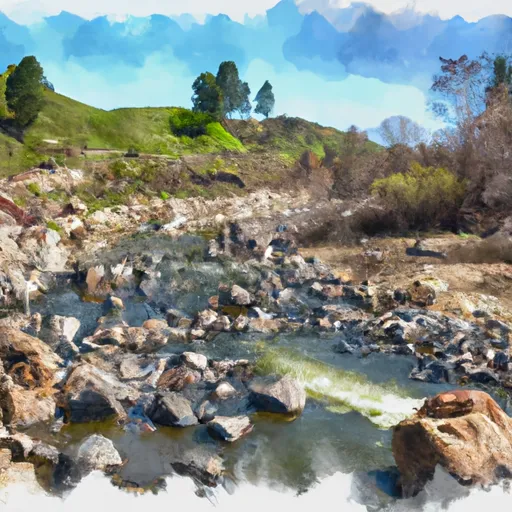 Pipe Creek
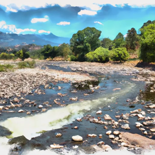 Charlton Creek Trib
 Bell Springs Creek
 Charlton Creek
 East Branch South Fork Trib
 Bell Springs Creek Trib
 Benbow Lake State Recreation Area
 John B. Dewitt Redwoods State Reserve
 Natural Reserve Smithe Redwoods State
 Smithe Redwoods State Reserve