Summary
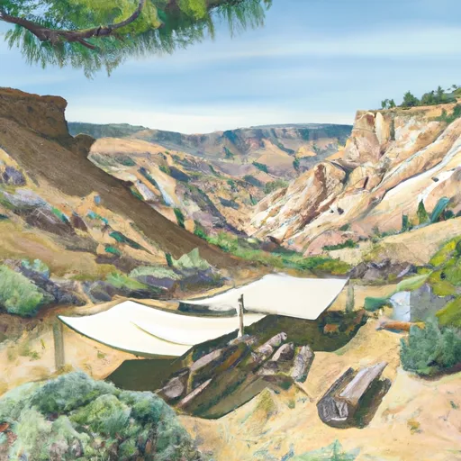
This section of the river is rated as Class III-IV, with a segment mileage of 3.5 miles. The river is characterized by steep drops, boulder gardens, and tight chutes. The most notable rapids on this run are The S-Turn, The Pipeline, and The Gully. These rapids require technical maneuvering and precise navigation to run successfully.
To access this section of the river, paddlers must obtain a permit from the San Bernardino National Forest. Additionally, there are specific regulations in place to protect sensitive riparian areas and wildlife habitat. Visitors are required to practice Leave No Trace principles and follow all regulations set forth by the Forest Service.
Overall, the West Fork Mission Creek is a thrilling and challenging whitewater run for experienced paddlers. It is important to check streamflow conditions before heading out and to be aware of any changes in weather or river conditions that could impact safety.
°F
°F
mph
Wind
%
Humidity
15-Day Weather Outlook
River Run Details
| Last Updated | 2023-08-20 |
| River Levels | 6 cfs (10.22 ft) |
| Percent of Normal | 47% |
| Status | |
| Class Level | iii-iv |
| Elevation | ft |
| Streamflow Discharge | cfs |
| Gauge Height | ft |
| Reporting Streamgage | USGS 10257600 |
5-Day Hourly Forecast Detail
Nearby Streamflow Levels
Area Campgrounds
| Location | Reservations | Toilets |
|---|---|---|
 Whitewater Preserve
|
||
 Mission Creek Preserve
|
||
 Mission Springs
|
||
 Coon Creek Cabin Group Campground
|
||
 Big Tree
|
||
 Mineshaft Flat
|


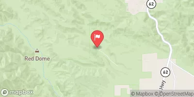


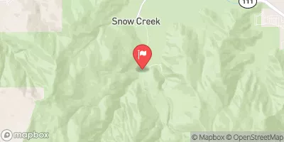
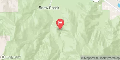
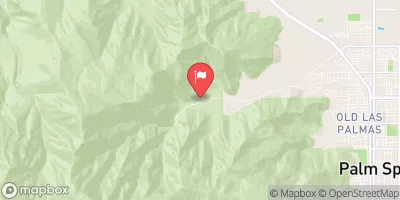
 West Fork Mission Creek
 Mission Creek
 South Fork - Wilderness Boundary/Sfdiversion Dam To Confluence With Mainstream
 Wilderness San Gorgonio
 Wardman Park
 Peoples Park
 Hot Springs Park
 Mission Springs Park