Summary
The ideal streamflow range for this river is between 200 and 500 cubic feet per second (cfs), but it can reach up to 800 cfs during peak season. The class rating for this river is class IV-V, making it suitable for experienced paddlers only. The segment mileage for this river is approximately 9 miles.
The specific river rapids and obstacles that paddlers can expect to encounter include tight chutes, steep drops, and large boulders. The rapids have names such as "Cascada", "The Maze", and "The Slot". The river is known for being technical and challenging, and paddlers should be prepared for a physically demanding experience.
There are specific regulations that paddlers must follow when navigating the Whitewater River Run Indian Creek. All paddlers are required to wear a personal flotation device (PFD) at all times. Additionally, all boats must be equipped with a whistle and a throw rope. The use of alcohol and drugs is strictly prohibited while on the river. It is also important to note that this river is located on private property, and paddlers must obtain permission from the landowner before accessing the river.
°F
°F
mph
Wind
%
Humidity
15-Day Weather Outlook
River Run Details
| Last Updated | 2025-06-28 |
| River Levels | 566 cfs (6.04 ft) |
| Percent of Normal | 52% |
| Status | |
| Class Level | iv-v |
| Elevation | ft |
| Streamflow Discharge | cfs |
| Gauge Height | ft |
| Reporting Streamgage | USGS 11473900 |
5-Day Hourly Forecast Detail
Nearby Streamflow Levels
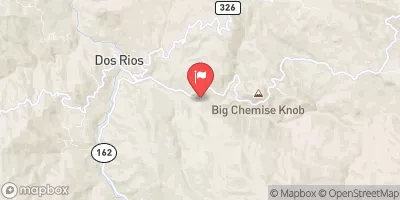 Mf Eel R Nr Dos Rios Ca
|
1670cfs |
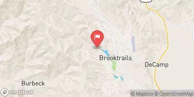 Willits C Ab Lk Emily Nr Willits Ca
|
0cfs |
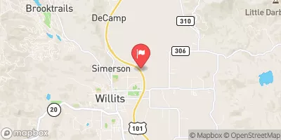 Outlet C Nr Willits Ca
|
121cfs |
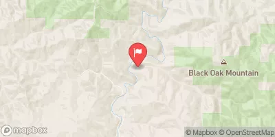 Elder C Nr Branscomb Ca
|
26cfs |
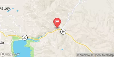 Ef Russian R Nr Calpella Ca
|
224cfs |
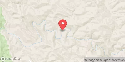 Big R Blw Two Log Cr Nr Comptche Ca
|
3cfs |


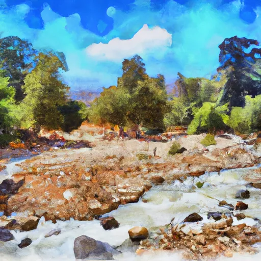 Indian Creek
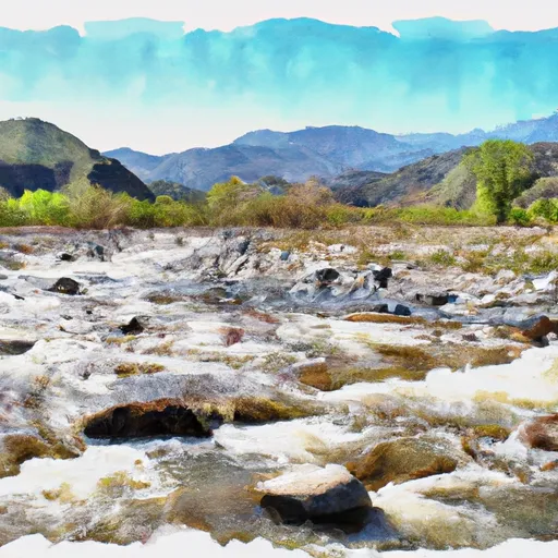 Fish Creek Trib
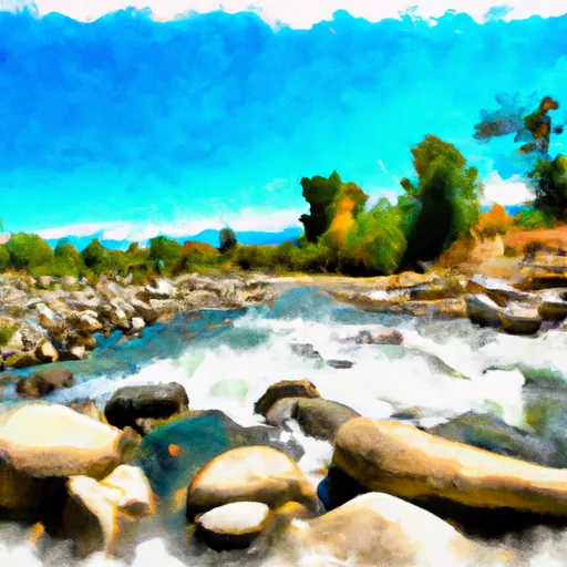 Fish Creek
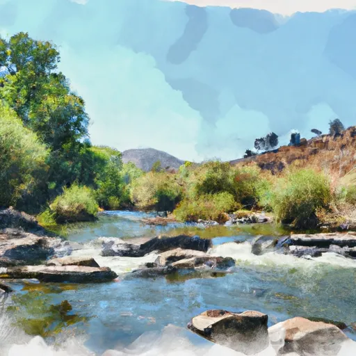 Indian Creek Trib
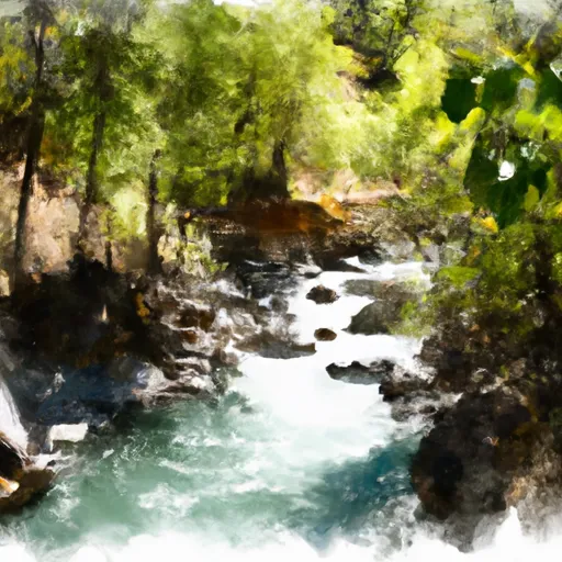 Deep Hole Creek
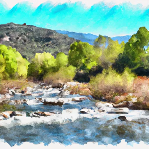 Edan Creek Trib