Summary
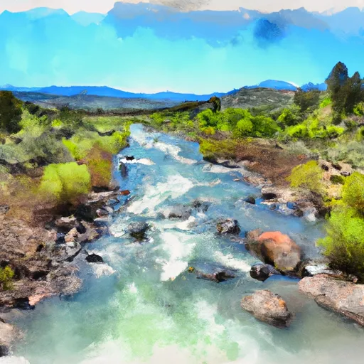
The ideal streamflow range for the river is between 200 and 400 cubic feet per second (cfs). The river is rated as a class III-IV, which means it is suitable for intermediate to advanced paddlers.
The river has a total segment mileage of approximately 20 miles, with the upper section being the most challenging. The upper section of the Susan River is known for its technical rapids, steep drops, and tight chutes. Some of the specific rapids and obstacles on this section include the "Pinball" rapid and the "Birthday Cake" rapid.
The lower section of the river is more mellow and suitable for beginner to intermediate paddlers. This section features some class II rapids and scenic views of the surrounding terrain.
There are certain regulations to be followed while paddling on the Susan River. The river is located in the Lassen National Forest, and visitors must obtain a permit before entering the area. Additionally, visitors must follow Leave No Trace principles and pack out all trash and waste.
In conclusion, the Susan River offers a challenging and exhilarating whitewater experience for intermediate to advanced paddlers. The ideal streamflow range, class rating, segment mileage, specific rapids and obstacles, and regulations all contribute to making this river a popular destination for paddlers.
°F
°F
mph
Wind
%
Humidity
15-Day Weather Outlook
River Run Details
| Last Updated | 2025-06-28 |
| River Levels | 442 cfs (3.23 ft) |
| Percent of Normal | 61% |
| Status | |
| Class Level | iii-iv |
| Elevation | ft |
| Streamflow Discharge | cfs |
| Gauge Height | ft |
| Reporting Streamgage | USGS 11402000 |
5-Day Hourly Forecast Detail
Nearby Streamflow Levels
 Spanish C Ab Blackhawk C At Keddie Ca
|
202cfs |
 Spanish C A Quincy Ca
|
108cfs |
 Hat C Nr Hat Creek Ca
|
164cfs |
 Pit R Bl Pit No 1 Ph Nr Fall River Mills Ca
|
1990cfs |
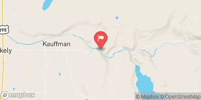 Sf Pit R Nr Likely Ca
|
11cfs |
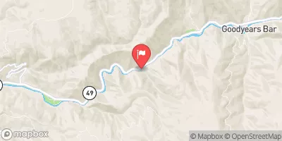 N Yuba R Bl Goodyears Bar Ca
|
480cfs |
Area Campgrounds
| Location | Reservations | Toilets |
|---|---|---|
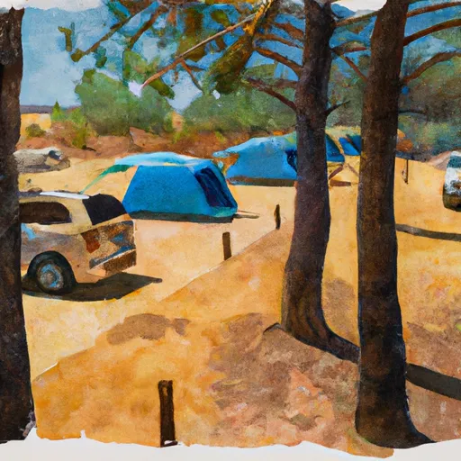 Roxie Peconom Campground
|
||
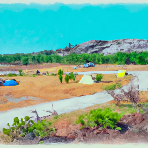 Roxie Peconom
|
||
 Goumaz
|
||
 Eagle Campground
|
||
 West Eagle Campground
|
||
 Merrill Campground
|


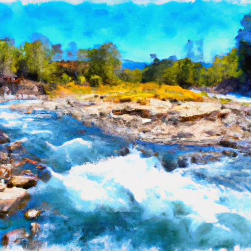 Susan River
 1 Mile West Of Devil'S Corral To To Susanville