Summary
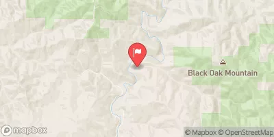
The ideal streamflow range for this run is between 400 and 800 cfs, depending on the season. The river is rated as Class III, with some Class IV sections. The segment mileage for this run is approximately 9 miles, from the put-in location at Indian Creek Trailhead to the take-out point at Whitewater Preserve.
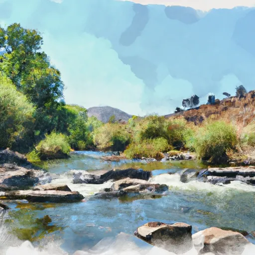
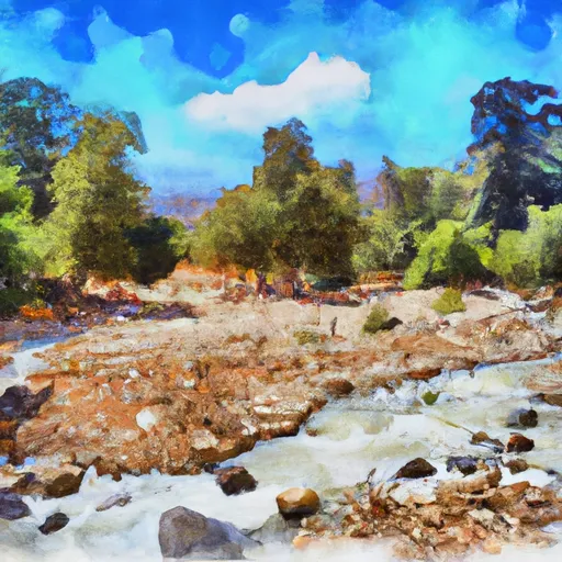
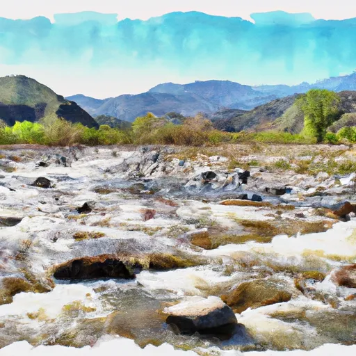
There are several notable rapids and obstacles along the run, including Indian Creek Falls, a 20-foot waterfall that requires a portage. Other significant rapids include Upper and Lower Flume, which are Class III-IV sections with technical drops and large waves. The run also features a number of smaller rapids, pools, and eddies that provide a variety of challenges for paddlers.
In terms of regulations, the Whitewater River Run Indian Creek Trib is within the San Bernardino National Forest, and visitors must follow all rules and regulations set by the Forest Service. This includes obtaining a permit for overnight camping, following Leave No Trace principles, and respecting the natural environment and wildlife in the area. Paddlers should also be aware of potential hazards in the river, including submerged rocks and logs, and should wear appropriate safety gear, including helmets and life jackets.
°F
°F
mph
Wind
%
Humidity
15-Day Weather Outlook
River Run Details
| Last Updated | 2025-06-28 |
| River Levels | 566 cfs (6.04 ft) |
| Percent of Normal | 52% |
| Status | |
| Class Level | iii-iv |
| Elevation | ft |
| Streamflow Discharge | cfs |
| Gauge Height | ft |
| Reporting Streamgage | USGS 11473900 |
5-Day Hourly Forecast Detail
Nearby Streamflow Levels
 Mf Eel R Nr Dos Rios Ca
|
1670cfs |
 Willits C Ab Lk Emily Nr Willits Ca
|
0cfs |
 Outlet C Nr Willits Ca
|
121cfs |
 Elder C Nr Branscomb Ca
|
26cfs |
 Ef Russian R Nr Calpella Ca
|
224cfs |
 Big R Blw Two Log Cr Nr Comptche Ca
|
3cfs |


 Indian Creek Trib
 Indian Creek
 Fish Creek
 Fish Creek Trib
 Edan Creek Trib