Summary
The ideal streamflow range for this river run is between 800 and 2,000 cubic feet per second (cfs), with peak flows occurring during the spring months due to snowmelt. The Lower Pit River Canyon is classified as a Class III to Class IV river, meaning it has moderate to difficult rapids and requires intermediate to advanced skills. The river run spans a distance of approximately 6.7 miles, beginning at the Pit No. 3 Hydroelectric Project and ending at the Pit River Bridge.
Some of the specific rapids and obstacles on the Lower Pit River Canyon include the Spiral Staircase, a steep drop with multiple chutes, and the Notch, a narrow chute with a sharp turn. Other notable rapids include the Horseshoe, the S Turn, and the Popcorn. It is important for whitewater enthusiasts to be aware of potential hazards such as submerged rocks, strainers, and strong currents.
As with all river runs, there are specific regulations that must be followed in the Lower Pit River Canyon. Boaters are required to have a valid permit and must comply with all safety regulations, including wearing life jackets and carrying appropriate safety equipment. Additionally, camping is only allowed in designated areas and visitors must practice Leave No Trace principles to minimize their impact on the environment.
°F
°F
mph
Wind
%
Humidity
15-Day Weather Outlook
River Run Details
| Last Updated | 2025-06-28 |
| River Levels | 1290 cfs (5.63 ft) |
| Percent of Normal | 113% |
| Status | |
| Class Level | iii-iv |
| Elevation | ft |
| Streamflow Discharge | cfs |
| Gauge Height | ft |
| Reporting Streamgage | USGS 11355010 |
5-Day Hourly Forecast Detail
Nearby Streamflow Levels
 Pit R Bl Pit No 1 Ph Nr Fall River Mills Ca
|
1820cfs |
 Burney C A Burney Falls Nr Burney Ca
|
168cfs |
 Hat C Nr Hat Creek Ca
|
164cfs |
 Pit R Nr Canby Ca
|
150cfs |
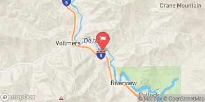 Sacramento R A Delta Ca
|
1130cfs |
 Cow C Nr Millville Ca
|
847cfs |
Area Campgrounds
| Location | Reservations | Toilets |
|---|---|---|
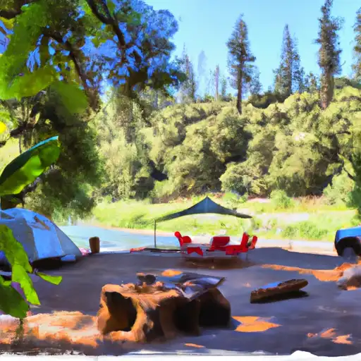 Pit River
|
||
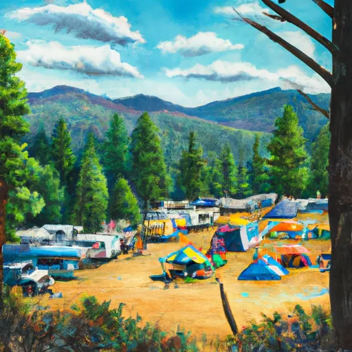 Inter-Mountain Fair of Shasta county
|
||
 Pit River/Cassel
|
||
 Dusty Camp
|
||
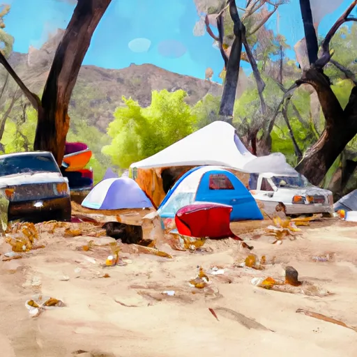 Dusty Campground
|
||
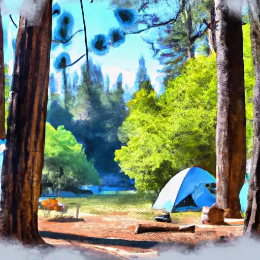 McArthur - Burney Falls State Park
|


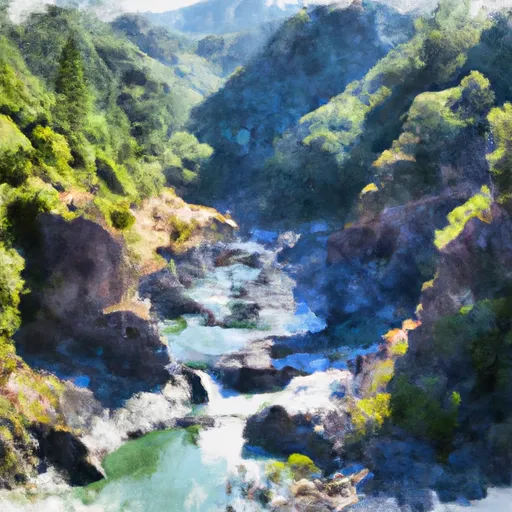 Lower Pit River Canyon
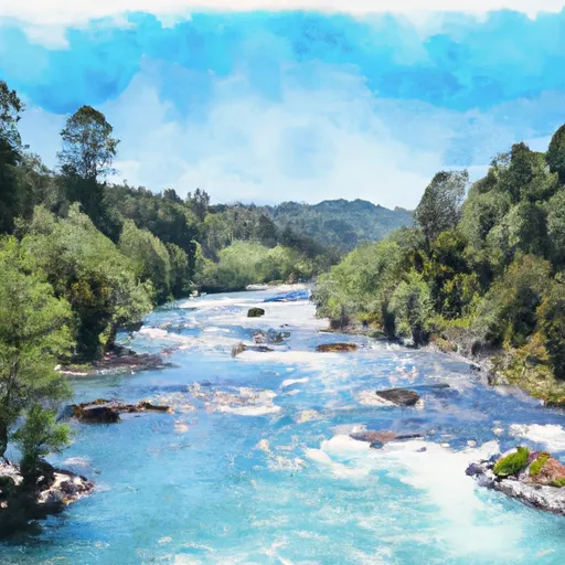 Begins Immediately Southwest Of Fall River Mills, Ca To It Flows Into Shasta Lake And The Sacramento River.
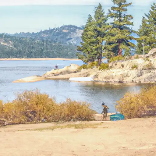 Fall River Lake
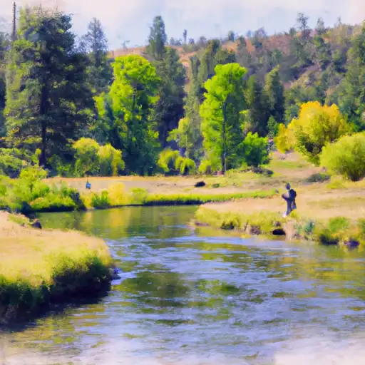 Hat Creek
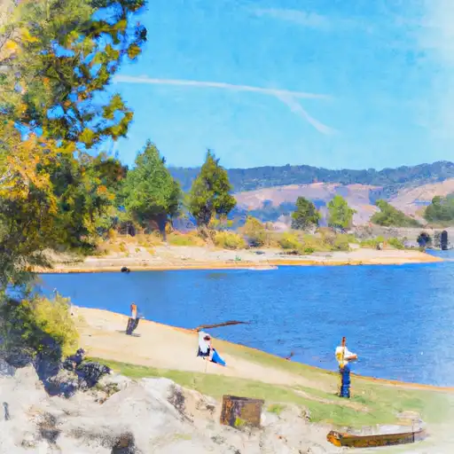 Britton Lake