Summary
The ideal streamflow range for this creek is between 500-1,000 cfs. The creek is classified as a Class IV-V, making it a challenging run that requires experience and skill. The segment mileage for Casoose Creek is approximately 4 miles, with various rapids and obstacles.
One of the most notable rapids on Casoose Creek is "The Washing Machine," which is a Class V rapid that features a large hole and strong hydraulic current. Another challenging obstacle on this creek is the "S-turn," which requires precise maneuvering through a tight channel.
In terms of regulations, Casoose Creek is located on public lands managed by the Bureau of Land Management (BLM). Visitors must obtain a permit from the BLM to access the creek, and there are restrictions on group size and camping locations. Additionally, visitors must follow Leave No Trace principles to minimize their impact on the environment.
Overall, Casoose Creek offers a thrilling whitewater experience for experienced paddlers. However, it is important to be prepared and educated on the specific challenges and regulations of this area before embarking on a trip.
°F
°F
mph
Wind
%
Humidity
15-Day Weather Outlook
River Run Details
| Last Updated | 2025-06-28 |
| River Levels | 13 cfs (3.51 ft) |
| Percent of Normal | 43% |
| Status | |
| Class Level | iv-v |
| Elevation | ft |
| Streamflow Discharge | cfs |
| Gauge Height | ft |
| Reporting Streamgage | USGS 11480390 |
5-Day Hourly Forecast Detail
Nearby Streamflow Levels
 Mad R Ab Ruth Res Nr Forest Glen Ca
|
216cfs |
 Mf Eel R Nr Dos Rios Ca
|
1670cfs |
 Eel R A Fort Seward Ca
|
6240cfs |
 Sf Eel R A Leggett Ca
|
1480cfs |
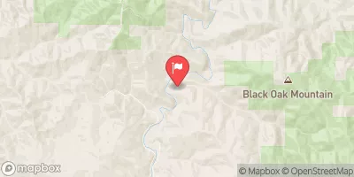 Elder C Nr Branscomb Ca
|
26cfs |
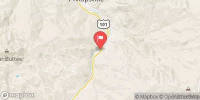 Sf Eel R Nr Miranda Ca
|
2830cfs |
Area Campgrounds
| Location | Reservations | Toilets |
|---|---|---|
 Butte Camp
|
||
 Brown Camp
|
||
 Police Camp
|
||
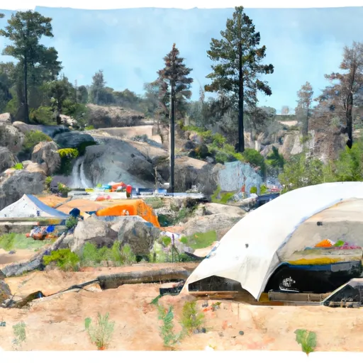 Sulphur Camp
|
||
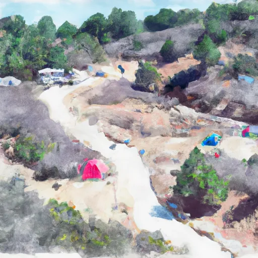 Watertrough Camp
|
||
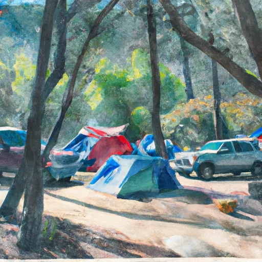 Cherry Camp
|


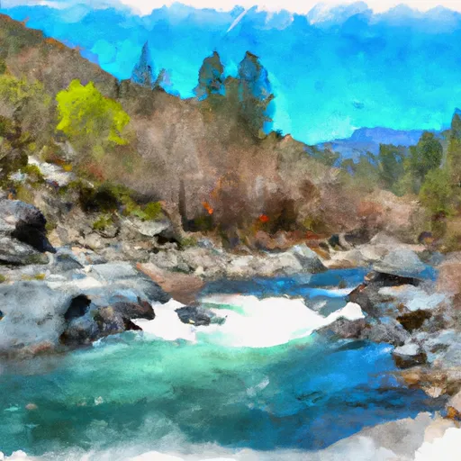 Casoose Creek
 Hulls Creek
 Nw 1/4 Sec 26, T26N, R12W To Confluence With North Fork Eel River
 Headwaters In Sec 27, T26N, R10W To One Mile North Of Fern Point, At Boundary Of Designated Eel River
 Headwaters In Sec 27, T26N, R10W To Confluence With Middle Fork Eel River