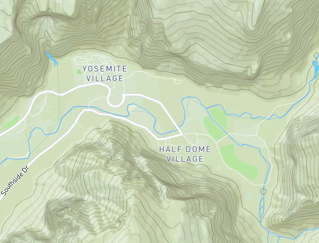
Summary
Regional Streamflow Levels
15-Day Long Term Forecast
River Run Details
| Last Updated | |
| River Levels | cfs ( ft) |
| Percent of Normal | +100% |
| Status | |
| Class Level | III- to III |
| Elevation | ft |
| Run Length | 2.3 Mi |
| Gradient | 97 FPM |
| Streamflow Discharge | cfs |
| Gauge Height | ft |
| Reporting Streamgage | USGS |
5-Day Hourly Forecast Detail
Area Campgrounds
| Location | Reservations | Toilets |
|---|---|---|
 Shingle Creek Dispersed Camping
|
||
 Max Reid (Paiute) Trailhead
|
||
 Indian Creek CUA Dispersed
|
||
 ADELAIDE CAMPGROUND
|

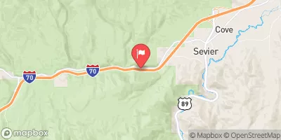

 Clear Creek
 Trappers Creek To I 70
 Marysvale Canyon
 Headwaters To Trappers Creek
 Continue with Snoflo Premium