Middle Fork Cottonwood Creek river run
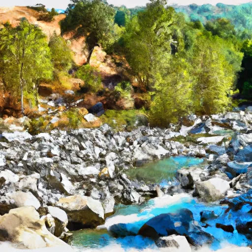
Middle Fork Cottonwood Creek
This river run features several exciting rapids and obstacles, including "Washing Machine," "Toilet Bowl," and "Box Canyon." These rapids are challenging and require experienced paddlers to navigate safely.
There are specific regulations in place for this area. All boaters must obtain a permit from the US Forest Service to access the Middle Fork Cottonwood Creek. Additionally, all boaters must wear a US Coast Guard-approved personal flotation device and must not litter or disturb the natural environment.
In summary, the Middle Fork Cottonwood Creek is a thrilling whitewater river run that requires experienced paddlers to navigate safely. The ideal streamflow range is between 400-600 cfs, and the class rating ranges from class III to IV. The segment mileage is approximately 7 miles, and there are specific regulations in place to protect the environment and ensure safety.
Plan your run down to the hour
Same weather feed Snoflo's iOS app uses -- updated continuously from NOAA / yr.no. Watch the precipitation column on the meteogram; rain ahead of a run typically lifts flows 12-48 hours later depending on the basin.
Next 5 days, hour by hour
Temperature line with weather symbols on top, snow + rain accumulation as columns, humidity as a dotted line.
5-day forecast table
Every 3 hours, broken out across temperature, snow, rain, humidity, and wind. Each cell is colour-coded relative to the column min/max.
| Time | Condition | Temp (°F) | Snow (in) | Rain (in) | Humidity (%) | Wind (mps) | Wind dir |
|---|---|---|---|---|---|---|---|
| Loading detailed forecast… | |||||||
15-day temperature & precipitation
Daily temperatures, snow, and rain projected over the next two weeks -- the upstream story that drives next week's flows.
Regional streamflow levels
USGS streamgauges around Middle Fork Cottonwood Creek -- useful for spotting upstream pulses and gauging which tributary is contributing what.
| Streamgauge | Discharge | View |
|---|---|---|
| Indian C Nr Douglas City Ca | 28 cfs | → |
| Trinity R A Douglas City Ca | 1,200 cfs | → |
| Trinity R Bl Limekiln Gulch Nr Douglas City Ca | 1,210 cfs | → |
| Grass Valley C Nr Lewiston Ca | 18 cfs | → |
| Clear C Nr Igo Ca | 217 cfs | → |
| Trinity R A Lewiston Ca | 1,090 cfs | → |
Plan a longer trip
The closest boat launches, other paddle runs, and campgrounds so a day on the water can grow into a full weekend.
Other river runs
- Beegum Creek
- West Sec Line Of Sec 6, T28n,R9/10w To Nf Boundary With Blm
- North Fork Cottonwood Creek
- West Section Line Of Sec 28, T28n, R11w To Two Tenths Of A Mile West And Downstream Of Double Cabins Site
Campgrounds
- Deerlick Springs
- Deerlick Springs Campground
- Basin Gulch
- Basin Gulch Campground
- Beegum Gorge Campground
- North Fork Beegum Creek F
Fishing spots
Whitewater safety
- Check the flow before you run
- Use the linked-gauge card and Regional Flow panel above. Class ratings change with flow -- a Class III at low water can become Class IV+ at high water.
- Know your skill ceiling
- Pick runs comfortably below your ceiling. Cold-water and big-water runs raise the consequences of any mistake.
- Wear the right gear
- Helmet, PFD, drysuit / wetsuit when water is below 60°F. Throw bag, knife, and whistle on your person, not in the boat.
- Scout, set safety, and run with a team
- Scout new rapids on foot, set safety with throw bags above the consequence pool, and run with at least one other competent paddler.
- Respect the river
- Strainers, undercuts, low-head dams, and wood can kill at any class rating. When in doubt, portage.
Set push alerts in the Snoflo app
Save Middle Fork Cottonwood Creek as a favorite, set a discharge threshold (e.g. "alert me when flow hits 600 cfs"), and the iOS app pushes the moment the linked gauge crosses.
About Middle Fork Cottonwood Creek
What's the optimal flow for Middle Fork Cottonwood Creek?
The optimal flow depends on the section and the craft. Check the Run Details panel for the linked gauge and current status.
How fresh is the cfs reading on this page?
The linked USGS streamgauge reports continuously (every 15 minutes); Snoflo refreshes throughout the day. Hover the streamflow sparkline to read individual datapoints.
What's the whitewater class?
See the Run Details panel for the class rating Snoflo tracks for this run. Class ratings change with flow -- a Class III at low water can become Class IV in high water.
Where do I put in / take out?
Tap Directions in the hero above to open driving directions to the put-in. For shuttle planning, check the Nearby Boat Launches panel and the river run operator's site.
Can I get alerts when flows hit the optimal range?
Yes -- alerts are managed in the Snoflo iOS app. Favorite this run, set a discharge threshold, and you'll get a push the moment the gauge crosses.
Other runs near here
Snoflo-tracked paddle runs within driving distance of Middle Fork Cottonwood Creek.